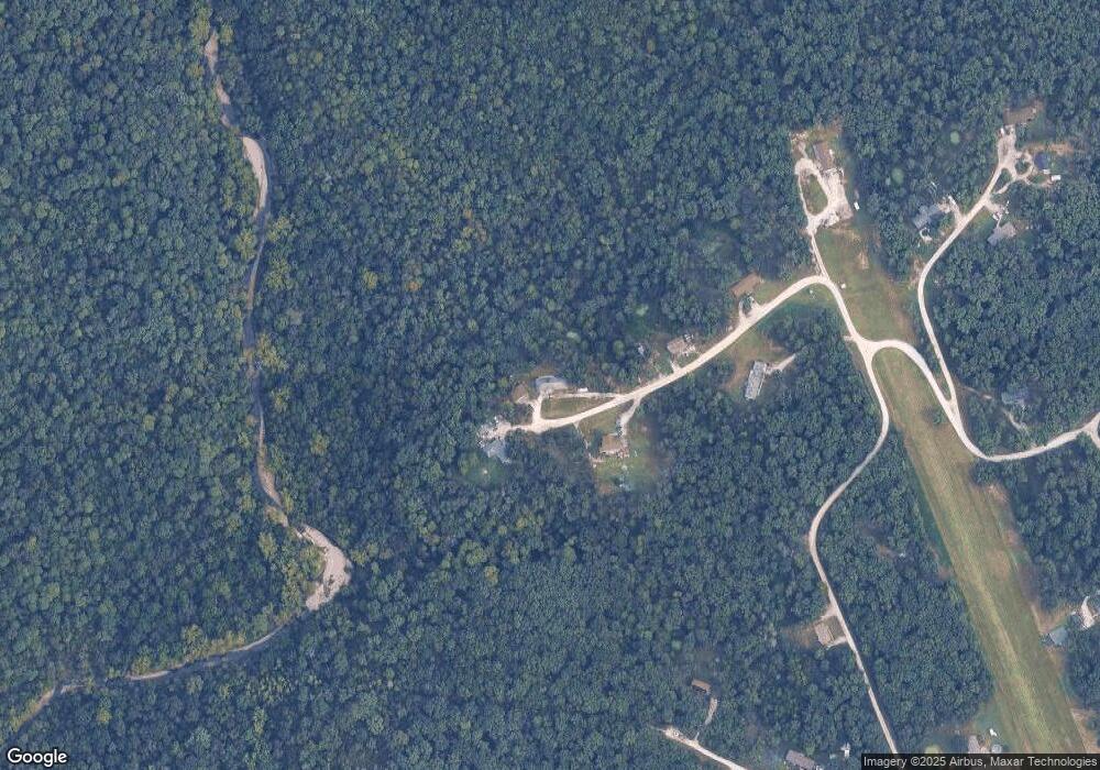
9 Mesa Ct Wright City, MO 63390
Estimated Value: $375,000 - $395,054
3
Beds
2
Baths
1,860
Sq Ft
$205/Sq Ft
Est. Value
About This Home
This home is located at 9 Mesa Ct, Wright City, MO 63390 and is currently estimated at $381,264, approximately $204 per square foot. 9 Mesa Ct is a home located in Lincoln County with nearby schools including Wright City West Elementary School, Wright City East Elementary School, and Wright City Middle School.
Ownership History
Date
Name
Owned For
Owner Type
Purchase Details
Closed on
Apr 7, 2011
Sold by
Fedeal National Mortgage Assn
Bought by
Hance Bruce L and Hance Nancy E
Current Estimated Value
Purchase Details
Closed on
Dec 10, 2009
Sold by
Cosharon Millsap & Singer Pc and Boggs Hw
Bought by
Federal National Mortgage Association
Purchase Details
Closed on
Nov 16, 2006
Sold by
E-Z Land Inc
Bought by
Boggs Sharon and Boggs Kenneth
Create a Home Valuation Report for This Property
The Home Valuation Report is an in-depth analysis detailing your home's value as well as a comparison with similar homes in the area
Purchase History
| Date | Buyer | Sale Price | Title Company |
|---|---|---|---|
| Hance Bruce L | -- | None Available | |
| Federal National Mortgage Association | $151,348 | None Available | |
| Boggs Sharon | -- | Realdential Title Services I |
Source: Public Records
Tax History
| Year | Tax Paid | Tax Assessment Tax Assessment Total Assessment is a certain percentage of the fair market value that is determined by local assessors to be the total taxable value of land and additions on the property. | Land | Improvement |
|---|---|---|---|---|
| 2025 | $2,023 | $37,305 | $3,445 | $33,860 |
| 2024 | $1,832 | $33,674 | $2,651 | $31,023 |
| 2023 | $1,652 | $30,459 | $2,651 | $27,808 |
| 2022 | $1,567 | $29,069 | $2,651 | $26,418 |
| 2021 | $1,576 | $152,990 | $0 | $0 |
| 2020 | $1,368 | $132,720 | $0 | $0 |
| 2019 | $1,364 | $132,720 | $0 | $0 |
| 2018 | $1,408 | $25,692 | $0 | $0 |
| 2017 | $1,404 | $25,692 | $0 | $0 |
| 2016 | $1,104 | $19,827 | $0 | $0 |
| 2015 | $1,103 | $19,827 | $0 | $0 |
| 2014 | $1,080 | $19,827 | $0 | $0 |
| 2013 | -- | $19,633 | $0 | $0 |
Source: Public Records
Map
Nearby Homes
- 311 Buck Hollow Ct
- 178 Gladshire Ln
- 65 Oak Valley Dr
- 1144 Chester Dr
- 31226 S Rock Church Rd
- 31340 S Rock Church Rd
- 18181 Hickory Lick Rd
- 95+/- Acres State Hwy Aa
- 24 + - Acres Ac State Hwy Aa
- Lot 9 Hilltop Trails Dr
- 16400 Pleasant Hill Rd
- 6 acres State Hwy Aa
- Lot Unit 6 00 Donegal Court
- Donegal Ct
- 2419 Balboa Cir
- 18714 Walnut Woods Ct
- 12 Willow Ct
- 2226 N State Highway 47
- 28991 Riley Grove Ln
- 18482 Walnut Springs Ct
- 10 Mesa Ct
- 6 Mesa Ct
- 38 Mesa Dr
- 19b Westwind Trail
- 505 Corsair Ct
- 0Lot 37 Fawn Lake Air Park
- 224 Westwind Trail
- 0 Lot 38 Fawn Lake Air Park Unit 90033381
- 38 Fawn Lake Airpark Westwind Lot # Ct
- 38Lot # Fawn Lake Airpark Westwind Ct
- 11 Airpark Ct
- 0 Lot 40 Fawn Lakes Air Park Unit 90033387
- 40 Fawn Lake Airpark Westwind Lot # Ct
- 40Lot # Fawn Lake Airpark Westwind Ct
- 503 Corsair Ct
- 20 Airpark Ct
- 232 Westwind Trail
- 232 W Winds Trail
- 19 Westwind B Trail
- 504 Corsair Ct
