Estimated Value: $1,352,963 - $1,410,000
4
Beds
4
Baths
3,515
Sq Ft
$394/Sq Ft
Est. Value
About This Home
This home is located at 9 Micmac Ln, Acton, MA 01720 and is currently estimated at $1,385,741, approximately $394 per square foot. 9 Micmac Ln is a home with nearby schools including Acton-Boxborough Regional High School.
Ownership History
Date
Name
Owned For
Owner Type
Purchase Details
Closed on
Jul 1, 2014
Sold by
Porter Ruth E and Porter Richard
Bought by
Greenhut Homes Llc
Current Estimated Value
Purchase Details
Closed on
Jun 3, 2014
Sold by
Porter Ruth E
Bought by
Greenhut Homes Llc
Create a Home Valuation Report for This Property
The Home Valuation Report is an in-depth analysis detailing your home's value as well as a comparison with similar homes in the area
Home Values in the Area
Average Home Value in this Area
Purchase History
| Date | Buyer | Sale Price | Title Company |
|---|---|---|---|
| Greenhut Homes Llc | $177,500 | -- | |
| Greenhut Homes Llc | $177,500 | -- |
Source: Public Records
Tax History
| Year | Tax Paid | Tax Assessment Tax Assessment Total Assessment is a certain percentage of the fair market value that is determined by local assessors to be the total taxable value of land and additions on the property. | Land | Improvement |
|---|---|---|---|---|
| 2025 | $21,144 | $1,232,900 | $296,000 | $936,900 |
| 2024 | $19,722 | $1,183,100 | $296,000 | $887,100 |
| 2023 | $19,657 | $1,119,400 | $269,600 | $849,800 |
| 2022 | $18,511 | $951,700 | $234,400 | $717,300 |
| 2021 | $18,278 | $903,500 | $216,800 | $686,700 |
| 2020 | $17,337 | $901,100 | $216,800 | $684,300 |
| 2019 | $18,665 | $963,600 | $306,400 | $657,200 |
| 2018 | $18,808 | $970,500 | $306,400 | $664,100 |
| 2017 | $18,418 | $966,300 | $306,400 | $659,900 |
| 2016 | $18,067 | $939,500 | $306,400 | $633,100 |
| 2015 | $8,292 | $435,300 | $284,100 | $151,200 |
| 2014 | $3,052 | $156,900 | $156,900 | $0 |
Source: Public Records
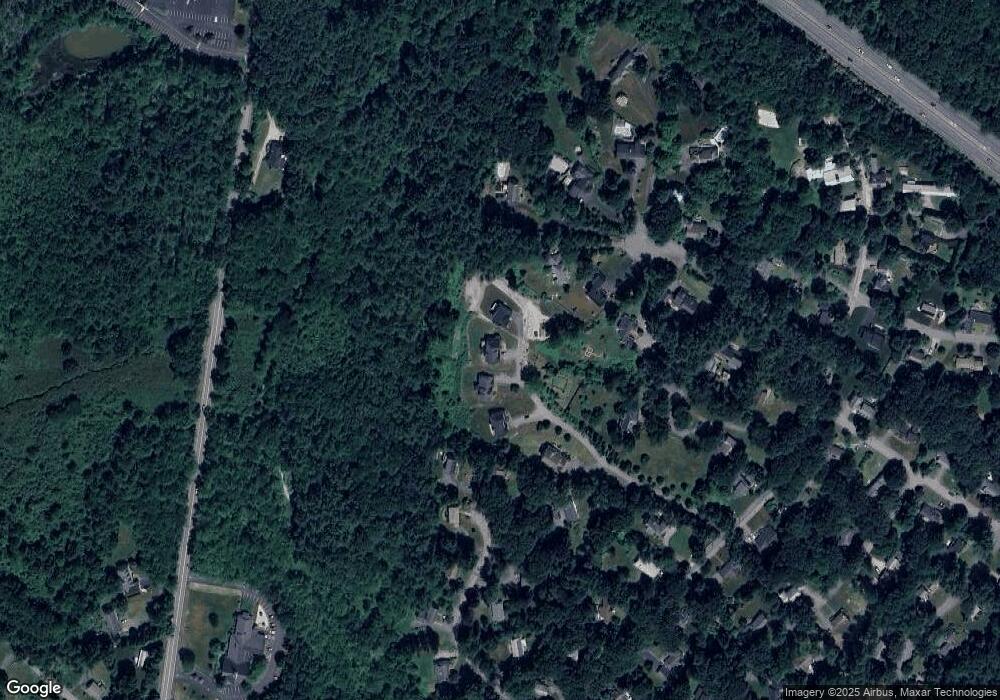
Map
Nearby Homes
- 60 Nashoba Rd
- 4 Littlefield Rd
- 5 Perkins Ln
- 79 Charter Rd
- 20 Joseph Reed Ln
- 4 Omega Way
- 235 Arlington St
- 285 Central St Unit 285
- 18 Hayward Rd
- 305 Harwood Ave
- 11 Braebrook
- 246 Main St Unit 2
- 92 Willow St Unit 3
- 92 Willow St Unit 2
- 90 Willow St Unit 1
- 33 Meadowbrook Rd
- 7 Kelley Rd
- 146 Tahattawan Rd
- 46 Taylor Rd
- 491 Main St
Your Personal Tour Guide
Ask me questions while you tour the home.