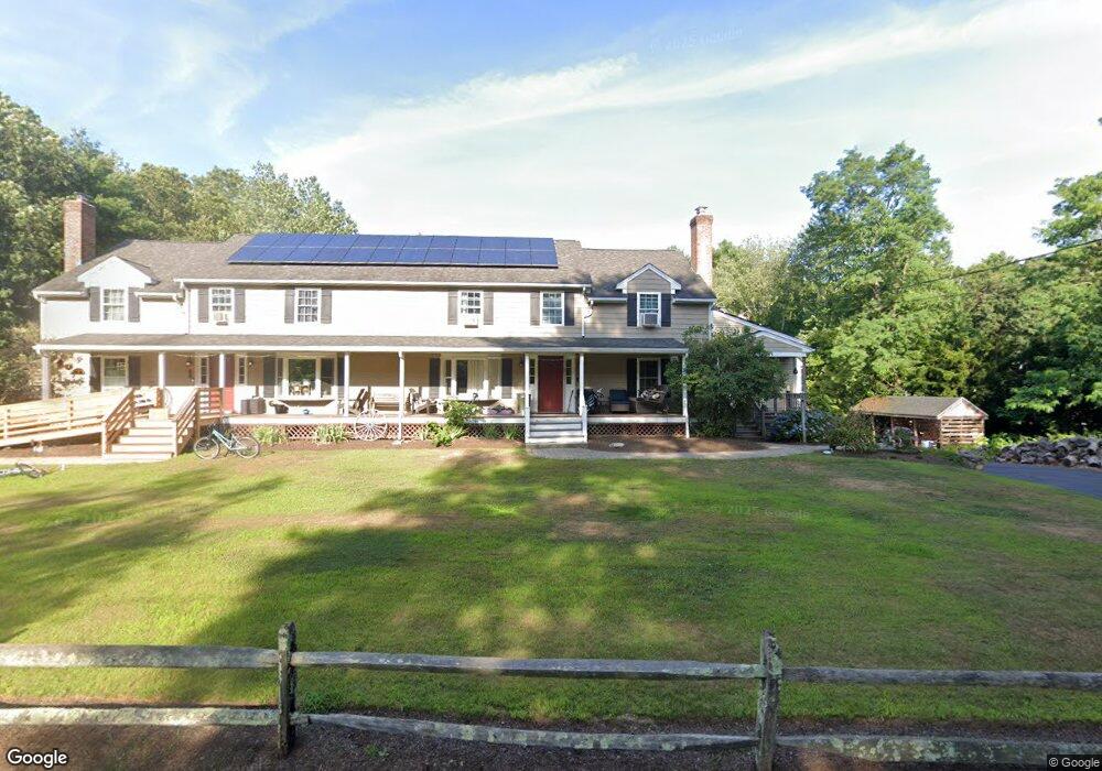
9 Mine Brook Rd Rehoboth, MA 02769
Estimated Value: $742,000 - $1,183,000
5
Beds
4
Baths
6,008
Sq Ft
$155/Sq Ft
Est. Value
About This Home
This home is located at 9 Mine Brook Rd, Rehoboth, MA 02769 and is currently estimated at $929,505, approximately $154 per square foot. 9 Mine Brook Rd is a home located in Bristol County with nearby schools including Dighton-Rehoboth Regional High School, Grace Baptist Christian Academy, and The Pinecroft School.
Ownership History
Date
Name
Owned For
Owner Type
Purchase Details
Closed on
Aug 30, 2024
Sold by
Warner Arthur D and Warner Deana J
Bought by
Arthur & Dean Warner Lt and Warner
Current Estimated Value
Purchase Details
Closed on
Feb 28, 2014
Sold by
Stebbings David A and Stebbings Ellen V
Bought by
Warner Arthur D and Warner Dean J
Home Financials for this Owner
Home Financials are based on the most recent Mortgage that was taken out on this home.
Original Mortgage
$290,000
Interest Rate
4.39%
Mortgage Type
New Conventional
Purchase Details
Closed on
Dec 21, 1989
Sold by
Gobin Rickey A
Bought by
Stebbing David
Create a Home Valuation Report for This Property
The Home Valuation Report is an in-depth analysis detailing your home's value as well as a comparison with similar homes in the area
Home Values in the Area
Average Home Value in this Area
Purchase History
| Date | Buyer | Sale Price | Title Company |
|---|---|---|---|
| Arthur & Dean Warner Lt | -- | None Available | |
| Arthur & Dean Warner Lt | -- | None Available | |
| Warner Arthur D | -- | -- | |
| Warner Arthur D | -- | -- | |
| Warner Arthur D | -- | -- | |
| Stebbing David | $162,800 | -- | |
| Stebbing David | $162,800 | -- |
Source: Public Records
Mortgage History
| Date | Status | Borrower | Loan Amount |
|---|---|---|---|
| Previous Owner | Warner Arthur D | $290,000 | |
| Previous Owner | Stebbing David | $150,000 |
Source: Public Records
Tax History
| Year | Tax Paid | Tax Assessment Tax Assessment Total Assessment is a certain percentage of the fair market value that is determined by local assessors to be the total taxable value of land and additions on the property. | Land | Improvement |
|---|---|---|---|---|
| 2025 | $94 | $845,600 | $191,100 | $654,500 |
| 2024 | $7,947 | $699,600 | $191,100 | $508,500 |
| 2023 | $7,971 | $692,800 | $187,100 | $505,700 |
| 2022 | $7,971 | $629,100 | $178,700 | $450,400 |
| 2021 | $7,715 | $582,700 | $162,400 | $420,300 |
| 2020 | $7,645 | $582,700 | $162,400 | $420,300 |
| 2018 | $5,513 | $460,600 | $154,600 | $306,000 |
| 2017 | $5,441 | $433,200 | $154,600 | $278,600 |
| 2016 | $5,263 | $433,200 | $154,600 | $278,600 |
| 2015 | $4,813 | $391,000 | $147,400 | $243,600 |
| 2014 | $4,612 | $370,700 | $140,200 | $230,500 |
Source: Public Records
Map
Nearby Homes
Your Personal Tour Guide
Ask me questions while you tour the home.