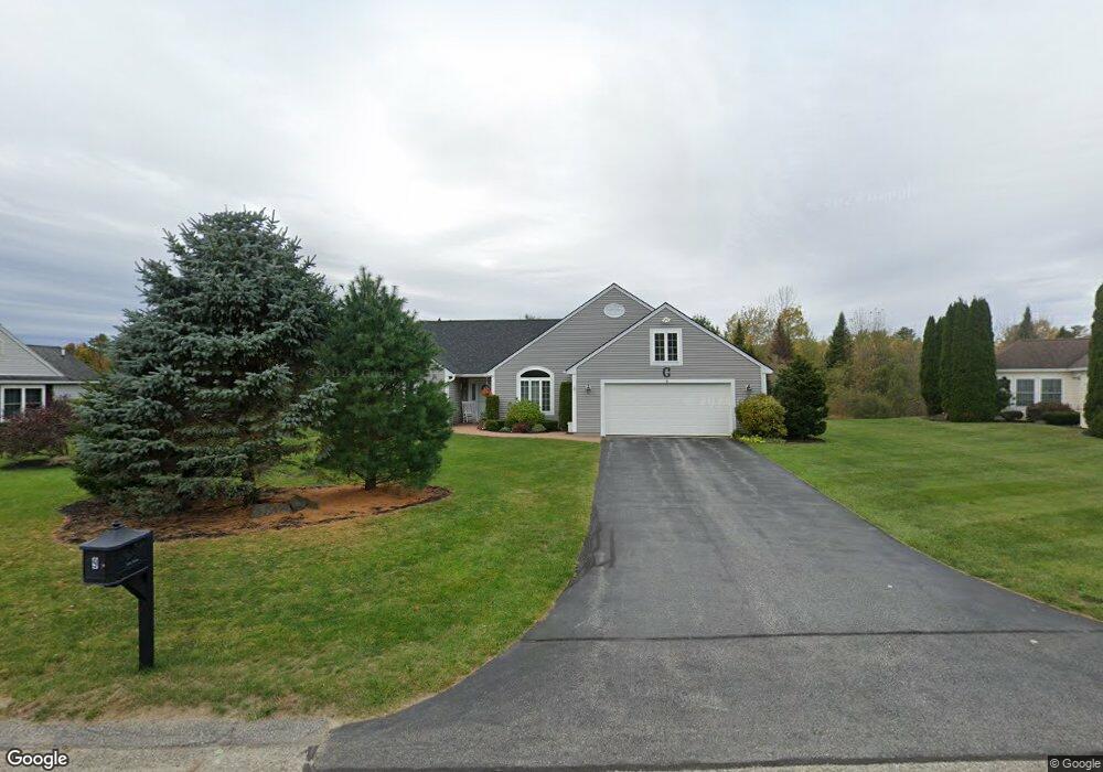
9 Mulberry Ln Scarborough, ME 04074
Estimated Value: $636,000 - $764,000
3
Beds
2
Baths
1,838
Sq Ft
$376/Sq Ft
Est. Value
About This Home
This home is located at 9 Mulberry Ln, Scarborough, ME 04074 and is currently estimated at $691,440, approximately $376 per square foot. 9 Mulberry Ln is a home located in Cumberland County with nearby schools including Scarborough High School and Cornerstone Baptist Academy.
Ownership History
Date
Name
Owned For
Owner Type
Purchase Details
Closed on
Feb 11, 2016
Sold by
Nichols Janice E
Bought by
Grotton Richard A and Grotton Barbara J
Current Estimated Value
Purchase Details
Closed on
Jan 10, 2011
Sold by
Nichols Norman E
Bought by
Nichols Janice E
Purchase Details
Closed on
Jun 25, 2007
Sold by
Seibel James E and Seibel Susan H
Bought by
Nichols Norman E and Nichols Janice E
Home Financials for this Owner
Home Financials are based on the most recent Mortgage that was taken out on this home.
Original Mortgage
$60,000
Interest Rate
6.14%
Mortgage Type
Commercial
Create a Home Valuation Report for This Property
The Home Valuation Report is an in-depth analysis detailing your home's value as well as a comparison with similar homes in the area
Home Values in the Area
Average Home Value in this Area
Purchase History
| Date | Buyer | Sale Price | Title Company |
|---|---|---|---|
| Grotton Richard A | -- | -- | |
| Nichols Janice E | -- | -- | |
| Nichols Norman E | -- | -- |
Source: Public Records
Mortgage History
| Date | Status | Borrower | Loan Amount |
|---|---|---|---|
| Previous Owner | Nichols Norman E | $25,000 | |
| Previous Owner | Nichols Norman E | $60,000 |
Source: Public Records
Tax History Compared to Growth
Tax History
| Year | Tax Paid | Tax Assessment Tax Assessment Total Assessment is a certain percentage of the fair market value that is determined by local assessors to be the total taxable value of land and additions on the property. | Land | Improvement |
|---|---|---|---|---|
| 2024 | $6,299 | $576,300 | $195,500 | $380,800 |
| 2023 | $6,471 | $405,200 | $143,600 | $261,600 |
| 2022 | $6,236 | $405,200 | $143,600 | $261,600 |
| 2021 | $6,086 | $405,200 | $143,600 | $261,600 |
| 2020 | $6,021 | $405,200 | $143,600 | $261,600 |
| 2019 | $5,956 | $405,200 | $143,600 | $261,600 |
| 2017 | $5,819 | $352,900 | $149,500 | $203,400 |
| 2016 | $5,590 | $351,100 | $149,500 | $201,600 |
| 2015 | $5,439 | $351,100 | $149,500 | $201,600 |
| 2014 | $5,151 | $351,100 | $149,500 | $201,600 |
| 2013 | -- | $351,100 | $149,500 | $201,600 |
Source: Public Records
Map
Nearby Homes
- 14 Herbert Dr
- 19 Millbrook Rd
- 14 Oakdale Dr Unit 14
- 8 Ballantyne Dr
- 11 Westwood Ave
- 5 Estate Dr
- 1 Cross St Unit 212
- 1 Cross St Unit 213
- 1 Cross St Unit 220
- 1 Cross St Unit 437
- 1 Cross St Unit 445
- 1 Cross St Unit 110
- 1 Cross St Unit 108
- 1 Cross St Unit 106
- 1 Cross St Unit 105
- 1 Cross St Unit 103
- 1 Cross St Unit 107
- 1 Cross St Unit 325
- 1 Cross St Unit 214
- 1 Cross St Unit 211