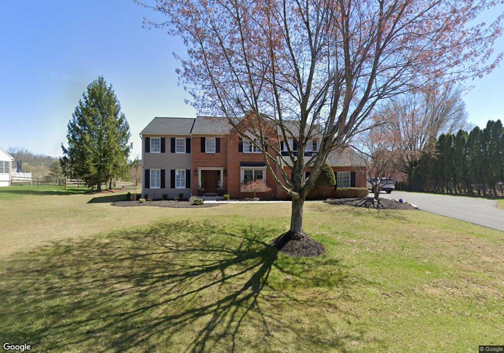
9 Mulligan Dr Reading, PA 19606
Estimated Value: $551,951 - $691,000
4
Beds
3
Baths
3,234
Sq Ft
$184/Sq Ft
Est. Value
About This Home
This home is located at 9 Mulligan Dr, Reading, PA 19606 and is currently estimated at $596,238, approximately $184 per square foot. 9 Mulligan Dr is a home located in Berks County with nearby schools including Owatin Creek Elementary School, Exeter Township Junior High School, and Exeter Township Senior High School.
Ownership History
Date
Name
Owned For
Owner Type
Purchase Details
Closed on
Sep 30, 2003
Sold by
Breeze John H and Breeze Carol A
Bought by
Knabb Paul H and Knabb Therese
Current Estimated Value
Home Financials for this Owner
Home Financials are based on the most recent Mortgage that was taken out on this home.
Original Mortgage
$240,000
Outstanding Balance
$111,537
Interest Rate
6.15%
Mortgage Type
Purchase Money Mortgage
Estimated Equity
$484,701
Create a Home Valuation Report for This Property
The Home Valuation Report is an in-depth analysis detailing your home's value as well as a comparison with similar homes in the area
Home Values in the Area
Average Home Value in this Area
Purchase History
| Date | Buyer | Sale Price | Title Company |
|---|---|---|---|
| Knabb Paul H | $351,000 | -- |
Source: Public Records
Mortgage History
| Date | Status | Borrower | Loan Amount |
|---|---|---|---|
| Open | Knabb Paul H | $240,000 |
Source: Public Records
Tax History
| Year | Tax Paid | Tax Assessment Tax Assessment Total Assessment is a certain percentage of the fair market value that is determined by local assessors to be the total taxable value of land and additions on the property. | Land | Improvement |
|---|---|---|---|---|
| 2025 | $3,890 | $265,700 | $53,600 | $212,100 |
| 2024 | $12,618 | $265,700 | $53,600 | $212,100 |
| 2023 | $12,205 | $265,700 | $53,600 | $212,100 |
| 2022 | $12,069 | $265,700 | $53,600 | $212,100 |
| 2021 | $11,886 | $265,700 | $53,600 | $212,100 |
| 2020 | $11,754 | $265,700 | $53,600 | $212,100 |
| 2019 | $11,624 | $265,700 | $53,600 | $212,100 |
| 2018 | $11,589 | $265,700 | $53,600 | $212,100 |
| 2017 | $11,423 | $265,700 | $53,600 | $212,100 |
| 2016 | $2,848 | $265,700 | $53,600 | $212,100 |
| 2015 | $2,848 | $265,700 | $53,600 | $212,100 |
| 2014 | $2,749 | $265,700 | $53,600 | $212,100 |
Source: Public Records
Map
Nearby Homes
- 840 Shelbourne Rd
- 99 Constitution Ave
- 71 Winchester Ct
- 200 Walton Ct
- 113 Wood Ln
- 4910 Dunham Dr
- 390 Wingspread Dr
- 30 Estates Dr
- 211 Poplar Dr
- 36 Pickwick Place
- 39 Fox Glove Ln
- 29 Ladderback Ln
- 222 Poplar Dr
- 3804 Saint Lawrence Ave
- 17 Hawley Ct
- 11 Valley Dr
- 4020 Grant St
- 5005 Farming Ridge Blvd
- 132 Rugby Rd
- 0 S Fairway Dr Unit PABK2068302
Your Personal Tour Guide
Ask me questions while you tour the home.