9 Munsee Trail Branchburg, NJ 08876
Branchburg Township NeighborhoodEstimated Value: $553,380 - $629,000
--
Bed
--
Bath
1,720
Sq Ft
$342/Sq Ft
Est. Value
About This Home
This home is located at 9 Munsee Trail, Branchburg, NJ 08876 and is currently estimated at $589,095, approximately $342 per square foot. 9 Munsee Trail is a home located in Somerset County with nearby schools including Whiton Elementary School, Stony Brook School, and Branchburg Central Middle School.
Ownership History
Date
Name
Owned For
Owner Type
Purchase Details
Closed on
Aug 29, 2000
Sold by
Buckwald Andrew
Bought by
Willensky Violet
Current Estimated Value
Home Financials for this Owner
Home Financials are based on the most recent Mortgage that was taken out on this home.
Original Mortgage
$217,550
Outstanding Balance
$79,626
Interest Rate
8.16%
Estimated Equity
$509,469
Purchase Details
Closed on
May 30, 1996
Sold by
Briggs Ken
Bought by
Buckwald Andrew
Home Financials for this Owner
Home Financials are based on the most recent Mortgage that was taken out on this home.
Original Mortgage
$174,000
Interest Rate
8.05%
Purchase Details
Closed on
Sep 28, 1992
Sold by
Stewart Richard A and Mary Ellen
Bought by
Briggs Kenneth C and Briggs Carol M
Purchase Details
Closed on
Dec 20, 1988
Sold by
Stewart Richard A and Stewart Donovan M
Bought by
Stewart Richard A and Mary Ellen
Create a Home Valuation Report for This Property
The Home Valuation Report is an in-depth analysis detailing your home's value as well as a comparison with similar homes in the area
Home Values in the Area
Average Home Value in this Area
Purchase History
| Date | Buyer | Sale Price | Title Company |
|---|---|---|---|
| Willensky Violet | $229,000 | -- | |
| Buckwald Andrew | $183,000 | -- | |
| Briggs Kenneth C | $168,000 | -- | |
| Stewart Richard A | -- | -- |
Source: Public Records
Mortgage History
| Date | Status | Borrower | Loan Amount |
|---|---|---|---|
| Open | Willensky Violet | $217,550 | |
| Previous Owner | Buckwald Andrew | $174,000 |
Source: Public Records
Tax History Compared to Growth
Tax History
| Year | Tax Paid | Tax Assessment Tax Assessment Total Assessment is a certain percentage of the fair market value that is determined by local assessors to be the total taxable value of land and additions on the property. | Land | Improvement |
|---|---|---|---|---|
| 2025 | $7,903 | $478,400 | $113,200 | $365,200 |
| 2024 | $7,903 | $438,100 | $113,200 | $324,900 |
| 2023 | $7,570 | $404,600 | $113,200 | $291,400 |
| 2022 | $7,431 | $377,400 | $113,200 | $264,200 |
| 2021 | $7,429 | $351,400 | $113,200 | $238,200 |
| 2020 | $7,248 | $338,200 | $113,200 | $225,000 |
| 2019 | $7,271 | $337,400 | $113,200 | $224,200 |
| 2018 | $7,250 | $335,500 | $108,200 | $227,300 |
| 2017 | $7,196 | $330,700 | $104,200 | $226,500 |
| 2016 | $7,155 | $326,700 | $97,200 | $229,500 |
| 2015 | $6,986 | $319,600 | $97,200 | $222,400 |
| 2014 | $6,858 | $317,500 | $92,200 | $225,300 |
Source: Public Records
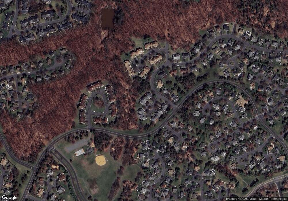
Map
Nearby Homes
- 33 Iroquois Trail
- 404 Azalea Terrace
- 23 Buffalo Hollow Rd
- 6 Heritage Ct
- 82 Vollers Dr
- 414 W County Dr
- 5 Walnut Dr
- 3366 Us Highway 22
- 1304 Churchill Cir
- 20 Oriole Ln
- 11 Forty Oaks Rd
- 46 Strawberry Hill Rd
- 103 Red Crest Ln Unit 1C
- 203 Red Crest Ln
- 12 Winthrop Dr
- 3366 Round Hill Rd
- 192 Carol Jean Way
- 1509 Longley Ct Ondo
- 1114 State Route 28
- 1135 State Route 28
- 7 Munsee Trail
- 11 Munsee Trail
- 5 Munsee Trail
- 3 Munsee Trail
- 13 Munsee Trail
- 15 Munsee Trail
- 17 Munsee Trail
- 19 Munsee Trail
- 8 Munsee Trail
- 10 Munsee Trail
- 6 Munsee Trail
- 12 Munsee Trail
- 4 Munsee Trail
- 14 Munsee Trail
- 9 Choctaw Ridge Rd
- 2 Munsee Trail
- 7 Choctaw Ridge Rd
- 11 Choctaw Ridge Rd
- 20 Watchung Trail
- 5 Choctaw Ridge Rd