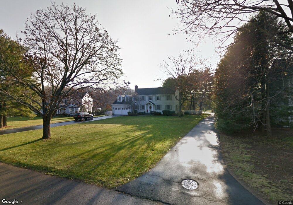
9 Musket Ln Darien, CT 06820
Estimated Value: $1,902,000 - $2,841,000
6
Beds
4
Baths
3,564
Sq Ft
$708/Sq Ft
Est. Value
About This Home
This home is located at 9 Musket Ln, Darien, CT 06820 and is currently estimated at $2,524,824, approximately $708 per square foot. 9 Musket Ln is a home located in Fairfield County with nearby schools including Tokeneke Elementary School, Middlesex Middle School, and Darien High School.
Ownership History
Date
Name
Owned For
Owner Type
Purchase Details
Closed on
May 17, 1993
Sold by
Dunn Edmund and Dunn Justine
Bought by
Sutton Brian and Sutton Sally
Current Estimated Value
Home Financials for this Owner
Home Financials are based on the most recent Mortgage that was taken out on this home.
Original Mortgage
$352,000
Interest Rate
7.47%
Mortgage Type
Unknown
Purchase Details
Closed on
Aug 2, 1991
Sold by
Linskey John and Linskey Beverly
Bought by
Dunn Edmund and Dunn Justine
Create a Home Valuation Report for This Property
The Home Valuation Report is an in-depth analysis detailing your home's value as well as a comparison with similar homes in the area
Home Values in the Area
Average Home Value in this Area
Purchase History
| Date | Buyer | Sale Price | Title Company |
|---|---|---|---|
| Sutton Brian | $504,000 | -- | |
| Dunn Edmund | $460,000 | -- |
Source: Public Records
Mortgage History
| Date | Status | Borrower | Loan Amount |
|---|---|---|---|
| Open | Dunn Edmund | $500,000 | |
| Closed | Dunn Edmund | $292,500 | |
| Closed | Dunn Edmund | $300,000 | |
| Closed | Dunn Edmund | $352,000 |
Source: Public Records
Tax History Compared to Growth
Tax History
| Year | Tax Paid | Tax Assessment Tax Assessment Total Assessment is a certain percentage of the fair market value that is determined by local assessors to be the total taxable value of land and additions on the property. | Land | Improvement |
|---|---|---|---|---|
| 2025 | $20,974 | $1,354,920 | $703,500 | $651,420 |
| 2024 | $19,904 | $1,354,920 | $703,500 | $651,420 |
| 2023 | $18,574 | $1,054,760 | $541,170 | $513,590 |
| 2022 | $16,404 | $952,070 | $541,170 | $410,900 |
| 2021 | $14,505 | $861,350 | $541,170 | $320,180 |
| 2020 | $14,092 | $861,350 | $541,170 | $320,180 |
| 2019 | $14,186 | $861,350 | $541,170 | $320,180 |
| 2018 | $14,416 | $896,490 | $568,400 | $328,090 |
| 2017 | $14,487 | $896,490 | $568,400 | $328,090 |
| 2016 | $14,138 | $896,490 | $568,400 | $328,090 |
| 2015 | $13,761 | $896,490 | $568,400 | $328,090 |
| 2014 | $13,456 | $896,490 | $568,400 | $328,090 |
Source: Public Records
Map
Nearby Homes
- 5 Wakeman Rd
- 73 Devils Garden Rd
- 19 Littlebrook Rd
- 19 Woodchuck Ct
- 40 Arnold Ln
- 9 Hollow Spring Rd
- 97 Richards Ave Unit B10
- 97 Richards Ave Unit E12
- 105 Richards Ave Unit 2305
- 10 Pine Brook Ln
- 17 Pine Brook Ln Unit 17
- 133 Rowayton Woods Dr
- 171 Rowayton Woods Dr Unit 171
- 8 Sedgewick Village Ln
- 7 Hadik Pkwy
- 13 Joemar Rd
- 209 Rowayton Ave
- 181 Highland Ave
- 10 Prospect Ave
- 47 Glasser St