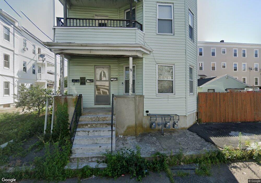
9 N Manchester St Brockton, MA 02302
Estimated Value: $798,000 - $865,000
6
Beds
3
Baths
3,510
Sq Ft
$240/Sq Ft
Est. Value
About This Home
This home is located at 9 N Manchester St, Brockton, MA 02302 and is currently estimated at $841,667, approximately $239 per square foot. 9 N Manchester St is a home located in Plymouth County with nearby schools including Arnone Elementary School, Joseph F. Plouffe Middle School, and Brockton Area Seventh-Day Adventist Academy.
Ownership History
Date
Name
Owned For
Owner Type
Purchase Details
Closed on
Apr 11, 1997
Sold by
Lopes Joaquin and Lopes Estela
Bought by
Lopes Antonio P
Current Estimated Value
Home Financials for this Owner
Home Financials are based on the most recent Mortgage that was taken out on this home.
Original Mortgage
$84,600
Interest Rate
7.55%
Mortgage Type
Purchase Money Mortgage
Create a Home Valuation Report for This Property
The Home Valuation Report is an in-depth analysis detailing your home's value as well as a comparison with similar homes in the area
Home Values in the Area
Average Home Value in this Area
Purchase History
| Date | Buyer | Sale Price | Title Company |
|---|---|---|---|
| Lopes Antonio P | $85,000 | -- |
Source: Public Records
Mortgage History
| Date | Status | Borrower | Loan Amount |
|---|---|---|---|
| Open | Lopes Antonio P | $310,000 | |
| Closed | Lopes Antonio P | $180,000 | |
| Closed | Lopes Antonio P | $84,600 | |
| Previous Owner | Lopes Antonio P | $42,729 |
Source: Public Records
Tax History Compared to Growth
Tax History
| Year | Tax Paid | Tax Assessment Tax Assessment Total Assessment is a certain percentage of the fair market value that is determined by local assessors to be the total taxable value of land and additions on the property. | Land | Improvement |
|---|---|---|---|---|
| 2025 | $8,058 | $665,400 | $131,900 | $533,500 |
| 2024 | $8,001 | $665,600 | $131,900 | $533,700 |
| 2023 | $7,400 | $570,100 | $99,600 | $470,500 |
| 2022 | $6,872 | $491,900 | $90,200 | $401,700 |
| 2021 | $6,747 | $465,300 | $74,200 | $391,100 |
| 2020 | $6,395 | $422,100 | $70,500 | $351,600 |
| 2019 | $6,162 | $396,500 | $67,300 | $329,200 |
| 2018 | $5,613 | $349,500 | $67,300 | $282,200 |
| 2017 | $5,060 | $314,300 | $67,300 | $247,000 |
| 2016 | $4,217 | $242,900 | $65,200 | $177,700 |
| 2015 | $3,042 | $167,600 | $65,200 | $102,400 |
| 2014 | $3,088 | $170,300 | $65,200 | $105,100 |
Source: Public Records
Map
Nearby Homes
- 250 Court St
- 256 Court St
- 256 Court St Unit 1
- 13 N Manchester St
- 246 Court St
- 8 N Manchester St
- 14 N Manchester St
- 19 N Manchester St
- 242 Court St
- 242 Court St Unit 2
- 242 Court St Unit 3
- 14 Taber Ave
- 255 Court St
- 268 Court St
- 268 Court St Unit 2
- 268 Court St Unit 3
- 8 Taber Ave Unit 2ndFl Front
- 8 Taber Ave Unit 3Flr Front
- 8 Taber Ave Unit 1st Flr Frt
- 8 Taber Ave