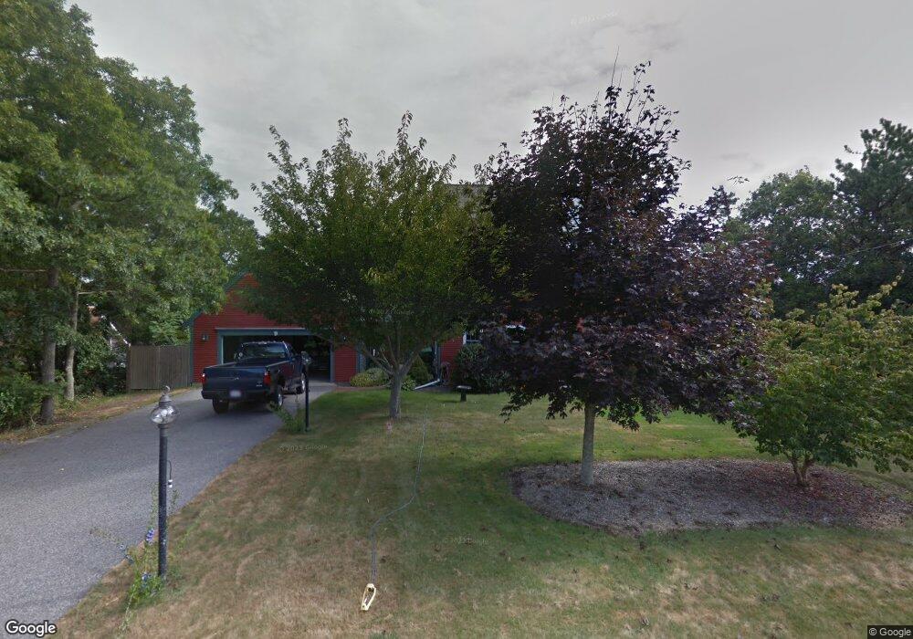
9 Nauset Rd Sagamore Beach, MA 02562
Estimated Value: $806,000 - $972,000
4
Beds
2
Baths
1,501
Sq Ft
$606/Sq Ft
Est. Value
About This Home
This home is located at 9 Nauset Rd, Sagamore Beach, MA 02562 and is currently estimated at $909,378, approximately $605 per square foot. 9 Nauset Rd is a home located in Barnstable County with nearby schools including Bourne High School, New Testament Christian School, and Bridgeview Montessori School.
Ownership History
Date
Name
Owned For
Owner Type
Purchase Details
Closed on
Jul 19, 1996
Sold by
White James B and White Jennifer S
Bought by
Traverso Robert J
Current Estimated Value
Purchase Details
Closed on
Jul 27, 1994
Sold by
Mckenna Michael
Bought by
White James B and Ricci Jennifer S
Purchase Details
Closed on
Feb 1, 1993
Sold by
Angus Nancy C and Nuovo Teresa
Bought by
Mckenna Linda Marie
Purchase Details
Closed on
Jan 10, 1991
Sold by
Astro Energy Corp
Bought by
Patterson Thomas and Matthews Edward F
Create a Home Valuation Report for This Property
The Home Valuation Report is an in-depth analysis detailing your home's value as well as a comparison with similar homes in the area
Home Values in the Area
Average Home Value in this Area
Purchase History
| Date | Buyer | Sale Price | Title Company |
|---|---|---|---|
| Traverso Robert J | $168,500 | -- | |
| Traverso Robert J | $168,500 | -- | |
| White James B | $50,000 | -- | |
| Mckenna Linda Marie | $26,667 | -- | |
| Mckenna Michael | $26,667 | -- | |
| Patterson Thomas | $30,000 | -- | |
| Patterson Thomas | $30,000 | -- | |
| Patterson Thomas | $30,000 | -- |
Source: Public Records
Mortgage History
| Date | Status | Borrower | Loan Amount |
|---|---|---|---|
| Open | Patterson Thomas | $290,750 | |
| Closed | Patterson Thomas | $251,300 |
Source: Public Records
Tax History Compared to Growth
Tax History
| Year | Tax Paid | Tax Assessment Tax Assessment Total Assessment is a certain percentage of the fair market value that is determined by local assessors to be the total taxable value of land and additions on the property. | Land | Improvement |
|---|---|---|---|---|
| 2025 | $6,549 | $838,500 | $221,500 | $617,000 |
| 2024 | $6,404 | $798,500 | $211,000 | $587,500 |
| 2023 | $5,189 | $589,000 | $186,700 | $402,300 |
| 2022 | $4,889 | $484,500 | $165,200 | $319,300 |
| 2021 | $4,778 | $443,600 | $150,400 | $293,200 |
| 2020 | $4,439 | $413,300 | $148,900 | $264,400 |
| 2019 | $4,186 | $398,300 | $148,900 | $249,400 |
| 2018 | $3,831 | $363,500 | $141,900 | $221,600 |
| 2017 | $3,680 | $357,300 | $140,500 | $216,800 |
| 2016 | $3,577 | $352,100 | $140,500 | $211,600 |
| 2015 | $3,418 | $339,400 | $127,800 | $211,600 |
Source: Public Records
Map
Nearby Homes
- 20 Brady Rd
- 5 Oakwood Dr
- 10 Tecumseh Rd
- 5 Pocasset Rd
- 368 Old Plymouth Rd
- 133 Phillips Rd
- 0 State Rd
- 67 Phillips Rd
- 67 Phillips Rd
- 11 Village Green Dr Unit B
- 18 Ocean Pines Dr Unit A
- 16 Ocean Pines Dr Unit B
- 19 Oak Bluff Rd
- 29 Sheppard Rd
- 4 Fieldwood Dr
- 4 Fieldwood Dr
- 42 Siasconset Dr
- 38 Siasconset Dr
- 48 Menotomy Rd
- 1 Kara's Way