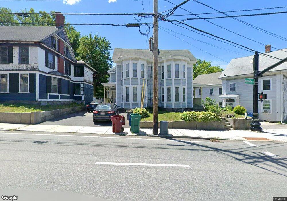
9 Nesmith St Lowell, MA 01852
Lower Belvidere NeighborhoodEstimated Value: $171,000 - $462,000
2
Beds
2
Baths
1,216
Sq Ft
$274/Sq Ft
Est. Value
About This Home
This home is located at 9 Nesmith St, Lowell, MA 01852 and is currently estimated at $333,187, approximately $274 per square foot. 9 Nesmith St is a home located in Middlesex County with nearby schools including Moody Elementary School, Greenhalge Elementary School, and S. Christa McAuliffe Elementary School.
Ownership History
Date
Name
Owned For
Owner Type
Purchase Details
Closed on
Mar 14, 2016
Sold by
Hd Industrial Way Llc
Bought by
Lerow Kevin E and Lerow Karen L
Current Estimated Value
Home Financials for this Owner
Home Financials are based on the most recent Mortgage that was taken out on this home.
Original Mortgage
$150,000
Outstanding Balance
$119,274
Interest Rate
3.79%
Mortgage Type
New Conventional
Estimated Equity
$213,913
Purchase Details
Closed on
Oct 14, 2011
Sold by
Beati Stephen A
Bought by
Hdd Industrial Way Llc
Purchase Details
Closed on
Nov 10, 2004
Sold by
B&M Rt and Mcmahon Brian
Bought by
Beati Stephen A
Create a Home Valuation Report for This Property
The Home Valuation Report is an in-depth analysis detailing your home's value as well as a comparison with similar homes in the area
Home Values in the Area
Average Home Value in this Area
Purchase History
| Date | Buyer | Sale Price | Title Company |
|---|---|---|---|
| Lerow Kevin E | $100,000 | -- | |
| Hdd Industrial Way Llc | $200,000 | -- | |
| Beati Stephen A | -- | -- |
Source: Public Records
Mortgage History
| Date | Status | Borrower | Loan Amount |
|---|---|---|---|
| Open | Lerow Kevin E | $150,000 |
Source: Public Records
Tax History
| Year | Tax Paid | Tax Assessment Tax Assessment Total Assessment is a certain percentage of the fair market value that is determined by local assessors to be the total taxable value of land and additions on the property. | Land | Improvement |
|---|---|---|---|---|
| 2025 | $3,437 | $299,400 | $0 | $299,400 |
| 2024 | $3,237 | $271,800 | $0 | $271,800 |
| 2023 | $2,981 | $240,000 | $0 | $240,000 |
| 2022 | $2,830 | $223,000 | $0 | $223,000 |
| 2021 | $2,687 | $199,600 | $0 | $199,600 |
| 2020 | $2,582 | $193,300 | $0 | $193,300 |
| 2019 | $2,502 | $178,200 | $0 | $178,200 |
| 2018 | $2,351 | $163,400 | $0 | $163,400 |
| 2017 | $2,295 | $153,800 | $0 | $153,800 |
| 2016 | $2,171 | $143,200 | $0 | $143,200 |
| 2015 | $2,085 | $134,700 | $0 | $134,700 |
| 2013 | $2,106 | $140,300 | $0 | $140,300 |
Source: Public Records
Map
Nearby Homes
- 158 Concord St
- 88 Perry St
- 192 1st St
- 3 Vernon St
- 94 1st St Unit 10
- 105 3rd St
- 189 Charles St
- 10 Kearney Square Unit 407
- 25 Read St
- 234 Nesmith St Unit 8
- 39 Groves Ave
- 325 1st St Unit 209
- 44 Hanks St
- 8 Cady St
- 9 Central St Unit 601
- 9 Central St Unit 602
- 200 Rogers St Unit 6
- 27-29 Fifth St
- 42 Christian St
- 23-33 Middle St Unit 6
- 11 Nesmith St Unit 3
- 11 Nesmith St
- 11 Nesmith St Unit 11
- 7 Nesmith St
- 20 Willow St
- 341 E Merrimack St
- 19 Nesmith St
- 327 E Merrimack St
- 98 Chestnut St
- 12 Nesmith St
- 12 Nesmith St Unit 12
- 12 Nesmith St
- 20 Nesmith St
- 20 Nesmith St Unit 1
- 106 Chestnut St
- 25 Nesmith St
- 19 Willow St
- 19 Willow St Unit 2
- 24 Nesmith St
- 90 Chestnut St
Your Personal Tour Guide
Ask me questions while you tour the home.