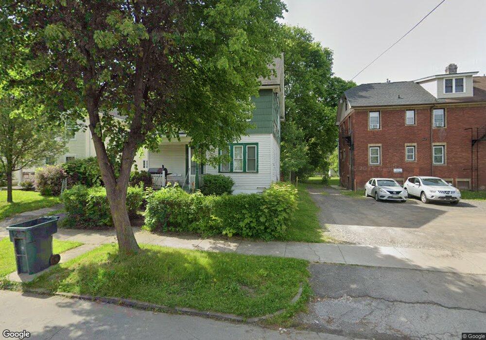
9 Nielson St Rochester, NY 14621
Northeast Rochester NeighborhoodEstimated Value: $64,000 - $93,133
4
Beds
1
Bath
1,378
Sq Ft
$56/Sq Ft
Est. Value
About This Home
This home is located at 9 Nielson St, Rochester, NY 14621 and is currently estimated at $77,033, approximately $55 per square foot. 9 Nielson St is a home located in Monroe County with nearby schools including School 8-Roberto Clemente, School 9-DR Martin Luther King Jr, and School 50-Helen Barrett Montgomery.
Ownership History
Date
Name
Owned For
Owner Type
Purchase Details
Closed on
Jun 30, 2021
Sold by
Walatta Gilchrist
Bought by
County Of Monroe
Current Estimated Value
Purchase Details
Closed on
Jun 16, 2008
Sold by
Judkins Delores Ann
Bought by
Judkins William Anthony
Purchase Details
Closed on
Dec 2, 2004
Sold by
Weiss Leo and Weiss Nancy Susan
Bought by
Judkins Delores Ann
Purchase Details
Closed on
Jun 4, 2002
Create a Home Valuation Report for This Property
The Home Valuation Report is an in-depth analysis detailing your home's value as well as a comparison with similar homes in the area
Home Values in the Area
Average Home Value in this Area
Purchase History
| Date | Buyer | Sale Price | Title Company |
|---|---|---|---|
| County Of Monroe | -- | -- | |
| Judkins William Anthony | -- | -- | |
| Judkins Delores Ann | -- | -- | |
| -- | -- | -- |
Source: Public Records
Tax History
| Year | Tax Paid | Tax Assessment Tax Assessment Total Assessment is a certain percentage of the fair market value that is determined by local assessors to be the total taxable value of land and additions on the property. | Land | Improvement |
|---|---|---|---|---|
| 2024 | $638 | $68,500 | $5,500 | $63,000 |
| 2023 | $327 | $28,800 | $2,800 | $26,000 |
| 2022 | $538 | $28,800 | $2,800 | $26,000 |
| 2021 | $521 | $28,800 | $2,800 | $26,000 |
| 2020 | $365 | $28,800 | $2,800 | $26,000 |
| 2019 | $408 | $25,400 | $2,800 | $22,600 |
| 2018 | $0 | $25,400 | $2,800 | $22,600 |
| 2017 | $0 | $25,400 | $2,800 | $22,600 |
| 2016 | $408 | $25,400 | $2,800 | $22,600 |
| 2015 | $1,478 | $24,000 | $2,800 | $21,200 |
| 2014 | $1,478 | $24,000 | $2,800 | $21,200 |
Source: Public Records
Map
Nearby Homes
- 127 Conkey Ave
- 128 Clifford Ave
- 24 Conkey Ave
- 14 Durgin St
- 285 Avenue B
- 17 Lill St
- 58 Scrantom St
- 79 Avenue B
- 68 Lill St
- 1139 Saint Paul St
- 1085 Saint Paul St
- 300 Conkey Ave
- 62 Scrantom St Unit 60
- 84 Avenue B
- 7 Riverbank Place
- 1239 Saint Paul St
- 80 Flower St
- 147 Avenue D
- 156 Avenue D Unit 154
- 323 Clifford Ave
Your Personal Tour Guide
Ask me questions while you tour the home.