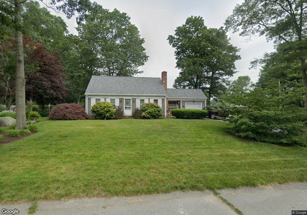
9 Norman St Acushnet, MA 02743
Sherwood Forest NeighborhoodEstimated Value: $530,194 - $627,000
3
Beds
2
Baths
1,591
Sq Ft
$350/Sq Ft
Est. Value
About This Home
This home is located at 9 Norman St, Acushnet, MA 02743 and is currently estimated at $557,049, approximately $350 per square foot. 9 Norman St is a home located in Bristol County with nearby schools including Acushnet Elementary School, Albert F Ford Middle School, and All Saints Catholic School.
Ownership History
Date
Name
Owned For
Owner Type
Purchase Details
Closed on
Jun 30, 1994
Sold by
Gordon Rolande C
Bought by
Lamothe Donald M and Lamothe Cheryl
Current Estimated Value
Home Financials for this Owner
Home Financials are based on the most recent Mortgage that was taken out on this home.
Original Mortgage
$125,900
Interest Rate
8.55%
Mortgage Type
Purchase Money Mortgage
Create a Home Valuation Report for This Property
The Home Valuation Report is an in-depth analysis detailing your home's value as well as a comparison with similar homes in the area
Home Values in the Area
Average Home Value in this Area
Purchase History
| Date | Buyer | Sale Price | Title Company |
|---|---|---|---|
| Lamothe Donald M | $139,900 | -- |
Source: Public Records
Mortgage History
| Date | Status | Borrower | Loan Amount |
|---|---|---|---|
| Open | Lamothe Donald M | $114,000 | |
| Closed | Lamothe Donald M | $125,900 |
Source: Public Records
Tax History
| Year | Tax Paid | Tax Assessment Tax Assessment Total Assessment is a certain percentage of the fair market value that is determined by local assessors to be the total taxable value of land and additions on the property. | Land | Improvement |
|---|---|---|---|---|
| 2025 | $50 | $462,300 | $141,800 | $320,500 |
| 2024 | $4,645 | $407,100 | $124,100 | $283,000 |
| 2023 | $4,699 | $391,600 | $113,000 | $278,600 |
| 2022 | $4,666 | $351,600 | $106,400 | $245,200 |
| 2021 | $4,337 | $313,600 | $106,400 | $207,200 |
| 2020 | $4,372 | $313,600 | $106,400 | $207,200 |
| 2019 | $4,233 | $298,500 | $106,400 | $192,100 |
| 2018 | $4,111 | $285,100 | $106,400 | $178,700 |
| 2017 | $3,990 | $276,300 | $106,400 | $169,900 |
| 2016 | $4,039 | $278,000 | $106,400 | $171,600 |
| 2015 | $3,730 | $261,200 | $106,400 | $154,800 |
Source: Public Records
Map
Nearby Homes
- 329 Middle Rd
- 134 Nyes Ln
- 1015 Forbes St
- 40 Foley Dr
- ES Acushnet Ave
- 7 Hamlin St
- 23 Coury Dr
- 1044 Phillips Rd Unit 25
- 1044 Phillips Rd Unit 20
- 2800 Acushnet Ave
- SS Charbonneau Ln
- 765 Pine Hill Dr
- 1056 Victoria St Unit A-13
- 0 Church Dutton & Chaffee Unit 73371719
- 9 Monmouth St
- 1251 Church St Unit 10
- 363 Main St
- 1027 Kenmore St
- 1261 Church St Unit 70
- 1261 Church St Unit 53
Your Personal Tour Guide
Ask me questions while you tour the home.