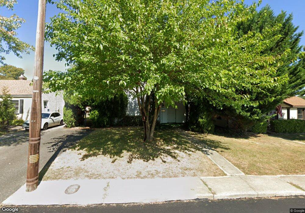
9 Norman St Aston, PA 19014
Estimated Value: $269,560 - $292,000
3
Beds
1
Bath
952
Sq Ft
$293/Sq Ft
Est. Value
About This Home
This home is located at 9 Norman St, Aston, PA 19014 and is currently estimated at $279,390, approximately $293 per square foot. 9 Norman St is a home located in Delaware County with nearby schools including The Christian Academy.
Ownership History
Date
Name
Owned For
Owner Type
Purchase Details
Closed on
Jul 24, 2008
Sold by
Bakey Martin T
Bought by
Bakey Martin T
Current Estimated Value
Purchase Details
Closed on
Jun 19, 2006
Sold by
Bush Elizabeth and Estate Of Ruth A Mullen
Bought by
Bakey Martin T
Home Financials for this Owner
Home Financials are based on the most recent Mortgage that was taken out on this home.
Original Mortgage
$167,325
Outstanding Balance
$98,428
Interest Rate
6.58%
Mortgage Type
Purchase Money Mortgage
Estimated Equity
$180,962
Create a Home Valuation Report for This Property
The Home Valuation Report is an in-depth analysis detailing your home's value as well as a comparison with similar homes in the area
Home Values in the Area
Average Home Value in this Area
Purchase History
| Date | Buyer | Sale Price | Title Company |
|---|---|---|---|
| Bakey Martin T | -- | None Available | |
| Bakey Martin T | $172,500 | None Available |
Source: Public Records
Mortgage History
| Date | Status | Borrower | Loan Amount |
|---|---|---|---|
| Open | Bakey Martin T | $167,325 |
Source: Public Records
Tax History
| Year | Tax Paid | Tax Assessment Tax Assessment Total Assessment is a certain percentage of the fair market value that is determined by local assessors to be the total taxable value of land and additions on the property. | Land | Improvement |
|---|---|---|---|---|
| 2025 | $3,932 | $151,530 | $50,620 | $100,910 |
| 2024 | $3,932 | $151,530 | $50,620 | $100,910 |
| 2023 | $3,756 | $151,530 | $50,620 | $100,910 |
| 2022 | $3,622 | $151,530 | $50,620 | $100,910 |
| 2021 | $5,589 | $151,530 | $50,620 | $100,910 |
| 2020 | $3,286 | $80,460 | $31,960 | $48,500 |
| 2019 | $3,223 | $80,460 | $31,960 | $48,500 |
| 2018 | $3,086 | $80,460 | $0 | $0 |
| 2017 | $3,021 | $80,460 | $0 | $0 |
| 2016 | $442 | $80,460 | $0 | $0 |
| 2015 | $442 | $80,460 | $0 | $0 |
| 2014 | $442 | $80,460 | $0 | $0 |
Source: Public Records
Map
Nearby Homes
- 1825 Dutton Mill Rd
- 20 Neeld Ln
- 10 Sheridan Ln
- 84 Mildred Ln
- 92 Florence Ave
- 929 Crystle Rd
- 103 Bonsall Ave
- 211 Scheivert Ave
- 2112 N Lee Ln
- 113 W Knowlton Rd
- 213 Beatrice Ln
- 112 Butt Ln
- 4948 Greenwood St
- 00 S Springhouse Ln
- 0 Brookhaven & Creek Rd Unit PADE2084418
- 4701 Pennell Rd Unit A12
- 4701 Pennell Rd Unit G11
- 4701 Pennell Rd Unit J11
- 4701 Pennell Rd Unit F7
- 4701 Pennell Rd Unit H3
- 7 Norman St
- 11 Norman St
- 5 Norman St
- 1935 Dutton Mill Rd
- 13 Norman St
- 1945 Dutton Mill Rd
- 1925 Dutton Mill Rd
- 1955 Dutton Mill Rd
- 1905 Dutton Mill Rd
- 3 Norman St
- 15 Norman St
- 8 Norman St
- 12 Norman St
- 1965 Dutton Mill Rd
- 1855 Dutton Mill Rd
- 1963 Dutton Mill Rd
- 6 Norman St
- 1 Norman St
- 17 Norman St
- 14 Norman St
Your Personal Tour Guide
Ask me questions while you tour the home.