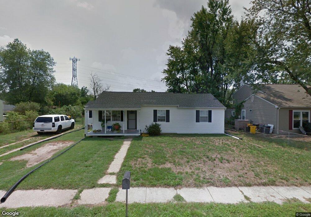
9 Normandy Dr Glen Burnie, MD 21060
Estimated Value: $353,371 - $385,000
--
Bed
1
Bath
1,196
Sq Ft
$305/Sq Ft
Est. Value
About This Home
This home is located at 9 Normandy Dr, Glen Burnie, MD 21060 and is currently estimated at $365,343, approximately $305 per square foot. 9 Normandy Dr is a home located in Anne Arundel County with nearby schools including Marley Elementary School, Marley Middle School, and Glen Burnie High School.
Ownership History
Date
Name
Owned For
Owner Type
Purchase Details
Closed on
Aug 1, 2005
Sold by
Pridgeon James A
Bought by
Swain Mary H
Current Estimated Value
Home Financials for this Owner
Home Financials are based on the most recent Mortgage that was taken out on this home.
Original Mortgage
$193,600
Outstanding Balance
$101,766
Interest Rate
5.67%
Mortgage Type
New Conventional
Estimated Equity
$263,577
Purchase Details
Closed on
Jan 24, 2002
Sold by
Pridgeon James A
Bought by
Pridgeon James A and Pridgeon Juanita
Purchase Details
Closed on
Apr 16, 1997
Sold by
Secretary Of The United States
Bought by
Pridgeon James A
Purchase Details
Closed on
Dec 19, 1996
Sold by
Middlebrooks C Edward
Bought by
Secretary Of The United States and Dept Of Housing & Urban Dev
Create a Home Valuation Report for This Property
The Home Valuation Report is an in-depth analysis detailing your home's value as well as a comparison with similar homes in the area
Home Values in the Area
Average Home Value in this Area
Purchase History
| Date | Buyer | Sale Price | Title Company |
|---|---|---|---|
| Swain Mary H | $242,000 | -- | |
| Pridgeon James A | -- | -- | |
| Pridgeon James A | $73,624 | -- | |
| Secretary Of The United States | $63,560 | -- |
Source: Public Records
Mortgage History
| Date | Status | Borrower | Loan Amount |
|---|---|---|---|
| Open | Swain Mary H | $193,600 | |
| Closed | Pridgeon James A | -- |
Source: Public Records
Tax History Compared to Growth
Tax History
| Year | Tax Paid | Tax Assessment Tax Assessment Total Assessment is a certain percentage of the fair market value that is determined by local assessors to be the total taxable value of land and additions on the property. | Land | Improvement |
|---|---|---|---|---|
| 2025 | $2,615 | $266,600 | $166,300 | $100,300 |
| 2024 | $2,615 | $252,933 | $0 | $0 |
| 2023 | $2,529 | $239,267 | $0 | $0 |
| 2022 | $2,351 | $225,600 | $137,600 | $88,000 |
| 2021 | $4,629 | $221,700 | $0 | $0 |
| 2020 | $2,237 | $217,800 | $0 | $0 |
| 2019 | $2,202 | $213,900 | $132,600 | $81,300 |
| 2018 | $2,036 | $200,800 | $0 | $0 |
| 2017 | $2,062 | $187,700 | $0 | $0 |
| 2016 | -- | $174,600 | $0 | $0 |
| 2015 | -- | $170,567 | $0 | $0 |
| 2014 | -- | $166,533 | $0 | $0 |
Source: Public Records
Map
Nearby Homes
- 0 Bertram Ave Unit MDAA2112598
- 103 Henson Rd
- 818 Barbara Ct
- 7739 Overhill Rd
- 7834 Shellye Rd
- 32 1st Ave
- 7703 Meath Ct
- 376 Jamie Ct
- 7851 Shellye Rd
- 7644 Spencer Rd
- 7626 3rd Ave
- 8 Marley Neck Rd
- 905 Blakistone Rd
- 7677 Mueller Dr
- 24 Mcguirk Dr
- 101 Herbert Ct
- 206 Sandsbury Ave
- 335 Addison Dr
- 307 Norman Ave
- 1113 Castle Harbour Way Unit 1B