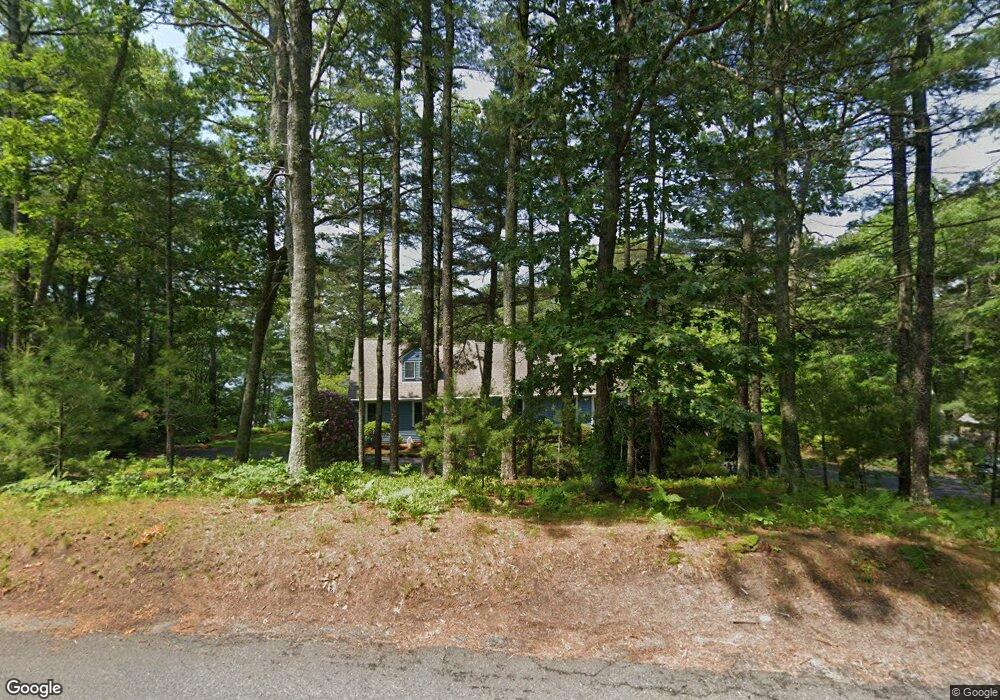
9 Oar And Line Rd Plymouth, MA 02360
Estimated Value: $705,000 - $1,046,000
3
Beds
2
Baths
2,636
Sq Ft
$343/Sq Ft
Est. Value
About This Home
This home is located at 9 Oar And Line Rd, Plymouth, MA 02360 and is currently estimated at $903,078, approximately $342 per square foot. 9 Oar And Line Rd is a home located in Plymouth County with nearby schools including South Elementary School, Plymouth South Middle School, and Plymouth South High School.
Ownership History
Date
Name
Owned For
Owner Type
Purchase Details
Closed on
May 16, 2002
Sold by
Vallier Marie V Est and Mcgee
Bought by
Foster Edward L
Current Estimated Value
Home Financials for this Owner
Home Financials are based on the most recent Mortgage that was taken out on this home.
Original Mortgage
$200,000
Interest Rate
7.15%
Mortgage Type
Purchase Money Mortgage
Create a Home Valuation Report for This Property
The Home Valuation Report is an in-depth analysis detailing your home's value as well as a comparison with similar homes in the area
Home Values in the Area
Average Home Value in this Area
Purchase History
| Date | Buyer | Sale Price | Title Company |
|---|---|---|---|
| Foster Edward L | $390,000 | -- |
Source: Public Records
Mortgage History
| Date | Status | Borrower | Loan Amount |
|---|---|---|---|
| Open | Foster Edward L | $100,000 | |
| Open | Foster Edward L | $260,000 | |
| Closed | Foster Edward L | $200,000 |
Source: Public Records
Tax History Compared to Growth
Tax History
| Year | Tax Paid | Tax Assessment Tax Assessment Total Assessment is a certain percentage of the fair market value that is determined by local assessors to be the total taxable value of land and additions on the property. | Land | Improvement |
|---|---|---|---|---|
| 2025 | $11,123 | $876,500 | $454,100 | $422,400 |
| 2024 | $10,878 | $845,200 | $432,500 | $412,700 |
| 2023 | $10,631 | $775,400 | $393,600 | $381,800 |
| 2022 | $10,352 | $670,900 | $371,500 | $299,400 |
| 2021 | $10,171 | $629,400 | $371,500 | $257,900 |
| 2020 | $9,884 | $604,500 | $349,900 | $254,600 |
| 2019 | $9,501 | $574,400 | $317,500 | $256,900 |
| 2018 | $9,280 | $563,800 | $306,700 | $257,100 |
| 2017 | $8,913 | $537,600 | $306,700 | $230,900 |
| 2016 | $8,429 | $518,100 | $285,100 | $233,000 |
| 2015 | $7,579 | $487,700 | $252,700 | $235,000 |
| 2014 | $7,276 | $480,900 | $252,700 | $228,200 |
Source: Public Records
Map
Nearby Homes
- 11 Oar And Line Rd
- 14 Anchor Dr
- 48 Haven Rd
- 7 Broadleaf Unit 3
- Hager Plan at Broadleaf - The Pinehills
- Davis Plan at Broadleaf - The Pinehills
- David Plan at Broadleaf - The Pinehills
- 11 Station Dr Unit 33
- 12 Birdsong
- 5 Juneberry
- 4 Cranberry Farm Rd
- 3 Heartwood
- 26 Portico Way Unit 26
- 11 Cobblestone
- 14 Dorset Ln Unit 14
- 9 Dorset Ln Unit 9
- 54 Bowsprit Ln
- 68 Bentgrass Mist Unit 68
- 55 Bentgrass Mist Unit 55
- 154 Fairview Ln
- 7 Oar And Line Rd
- 7 Oar And Line Rd
- 10 Oar And Line Rd
- 6 Oar And Line Rd
- 12 Oar And Line Rd
- 5 Oar & Line Rd
- 13 Oar And Line Rd
- 5 Oar And Line Rd
- 5 Oar And Line Rd Unit B
- 14 Oar And Line Rd
- 575 Long Pond Rd
- 2 Oar And Line Rd
- 1 Oar And Line Rd
- 579 Long Pond Rd
- 16 Oar And Line Rd
- 15 Oar And Line Rd
- 583 Long Pond Rd
- 565 Long Pond Rd
- 18 Oar And Line Rd
- 585 Long Pond Rd