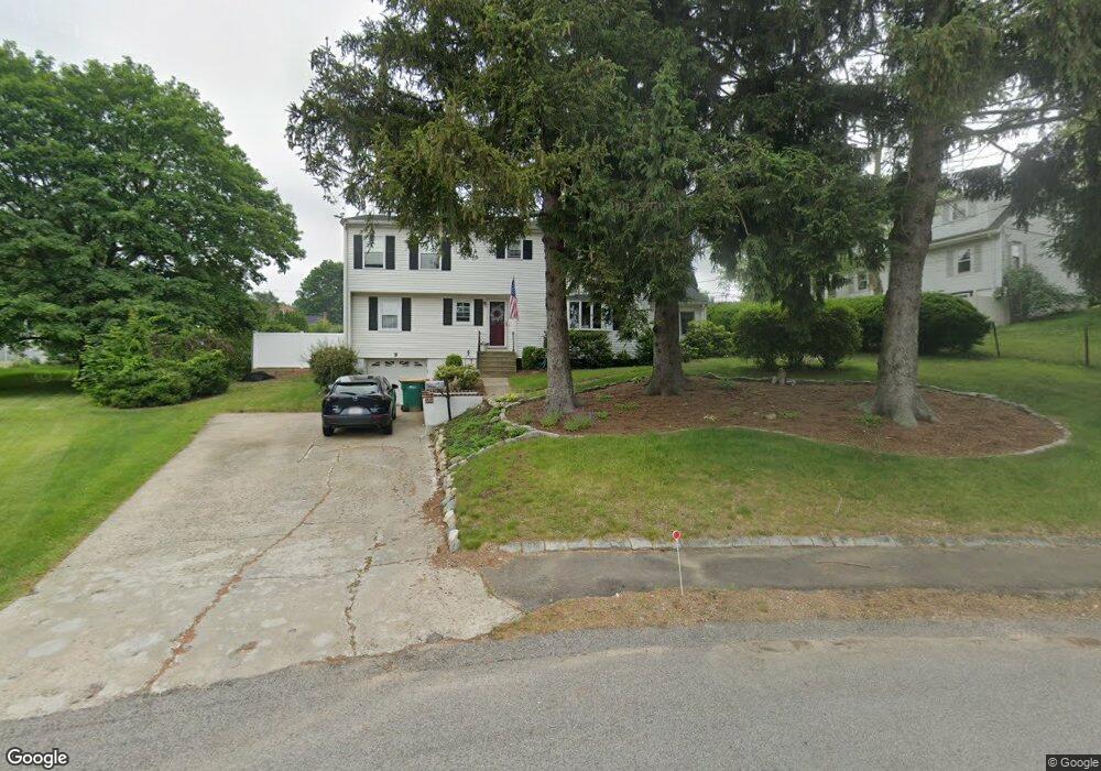
9 Orchard Ln Norwood, MA 02062
Estimated Value: $894,000 - $1,103,000
5
Beds
3
Baths
2,409
Sq Ft
$396/Sq Ft
Est. Value
About This Home
This home is located at 9 Orchard Ln, Norwood, MA 02062 and is currently estimated at $953,248, approximately $395 per square foot. 9 Orchard Ln is a home located in Norfolk County with nearby schools including Norwood High School, St Catherine Of Siena School, and Norwood Montessori School.
Ownership History
Date
Name
Owned For
Owner Type
Purchase Details
Closed on
Sep 29, 1995
Sold by
Fanandakis George and Fanandakis Helen
Bought by
Murphy Paul E and Murphy Celeste P
Current Estimated Value
Home Financials for this Owner
Home Financials are based on the most recent Mortgage that was taken out on this home.
Original Mortgage
$161,500
Outstanding Balance
$1,165
Interest Rate
7.89%
Mortgage Type
Purchase Money Mortgage
Estimated Equity
$952,083
Create a Home Valuation Report for This Property
The Home Valuation Report is an in-depth analysis detailing your home's value as well as a comparison with similar homes in the area
Home Values in the Area
Average Home Value in this Area
Purchase History
| Date | Buyer | Sale Price | Title Company |
|---|---|---|---|
| Murphy Paul E | $170,000 | -- |
Source: Public Records
Mortgage History
| Date | Status | Borrower | Loan Amount |
|---|---|---|---|
| Open | Murphy Paul E | $161,500 |
Source: Public Records
Tax History Compared to Growth
Tax History
| Year | Tax Paid | Tax Assessment Tax Assessment Total Assessment is a certain percentage of the fair market value that is determined by local assessors to be the total taxable value of land and additions on the property. | Land | Improvement |
|---|---|---|---|---|
| 2025 | $86 | $817,900 | $305,900 | $512,000 |
| 2024 | $8,257 | $788,600 | $305,900 | $482,700 |
| 2023 | $7,470 | $723,800 | $256,300 | $467,500 |
| 2022 | $6,874 | $639,400 | $224,300 | $415,100 |
| 2021 | $6,702 | $591,000 | $226,700 | $364,300 |
| 2020 | $6,612 | $593,000 | $218,200 | $374,800 |
| 2019 | $5,823 | $534,700 | $211,900 | $322,800 |
| 2018 | $5,677 | $511,900 | $201,800 | $310,100 |
| 2017 | $5,708 | $511,900 | $201,800 | $310,100 |
| 2016 | $5,365 | $482,500 | $201,800 | $280,700 |
| 2015 | $5,359 | $467,200 | $183,500 | $283,700 |
| 2014 | $5,181 | $447,400 | $183,000 | $264,400 |
Source: Public Records
Map
Nearby Homes
- 136 Azalea Dr
- 124 Juniper Dr
- 53-55 Whitewood Cir
- 105 E Cross St
- 794 Neponset St
- 188 Richland Rd
- 0 Deerfield Rd
- 816 Neponset St
- 558 Pleasant St
- 22 Hillside Ave
- 28 Shaw St
- 0 Quail Run
- 19-21
- 909 Washington St Unit 14
- 909 Washington St
- 49 Railroad Ave
- 15-17 Heaton Ave
- 1086 Washington St
- 25-29 Chapel St
- 1 Lenox St Unit 115
- 5 Orchard Ln
- 15 Orchard Ln
- 28 Longwood Terrace
- 20 Longwood Terrace
- 6 Orchard Ln
- 34 Longwood Terrace
- 19 Orchard Ln
- 59 Westview Dr
- 51 Westview Dr
- 12 Longwood Terrace
- 20 Orchard Ln
- 69 Westview Dr
- 39 Westview Dr
- 31 Longwood Terrace
- 17 Longwood Terrace
- 23 Orchard Ln
- 42 Longwood Terrace
- 6 Longwood Terrace
- 11 Longwood Terrace
- 75 Westview Dr