9 Osborne Dr Basking Ridge, NJ 07920
Estimated Value: $1,528,942 - $1,628,000
--
Bed
--
Bath
3,099
Sq Ft
$508/Sq Ft
Est. Value
About This Home
This home is located at 9 Osborne Dr, Basking Ridge, NJ 07920 and is currently estimated at $1,574,986, approximately $508 per square foot. 9 Osborne Dr is a home located in Somerset County with nearby schools including Cedar Hill Elementary School, William Annin Middle School, and Ridge High School.
Ownership History
Date
Name
Owned For
Owner Type
Purchase Details
Closed on
Jul 16, 2001
Sold by
Kececki Kathleen
Bought by
Weil Leonards and Weil Maureen
Current Estimated Value
Home Financials for this Owner
Home Financials are based on the most recent Mortgage that was taken out on this home.
Original Mortgage
$600,000
Outstanding Balance
$232,233
Interest Rate
7.2%
Estimated Equity
$1,342,753
Purchase Details
Closed on
Sep 21, 1999
Sold by
Boyd William
Bought by
Kececi Erol and Kececi Kathleen
Home Financials for this Owner
Home Financials are based on the most recent Mortgage that was taken out on this home.
Original Mortgage
$492,000
Interest Rate
8.1%
Create a Home Valuation Report for This Property
The Home Valuation Report is an in-depth analysis detailing your home's value as well as a comparison with similar homes in the area
Home Values in the Area
Average Home Value in this Area
Purchase History
| Date | Buyer | Sale Price | Title Company |
|---|---|---|---|
| Weil Leonards | $790,000 | -- | |
| Kececi Erol | $615,000 | -- |
Source: Public Records
Mortgage History
| Date | Status | Borrower | Loan Amount |
|---|---|---|---|
| Open | Weil Leonards | $600,000 | |
| Previous Owner | Kececi Erol | $492,000 |
Source: Public Records
Tax History Compared to Growth
Tax History
| Year | Tax Paid | Tax Assessment Tax Assessment Total Assessment is a certain percentage of the fair market value that is determined by local assessors to be the total taxable value of land and additions on the property. | Land | Improvement |
|---|---|---|---|---|
| 2025 | $22,254 | $1,335,900 | $472,000 | $863,900 |
| 2024 | $22,254 | $1,250,900 | $422,000 | $828,900 |
| 2023 | $19,841 | $1,052,000 | $422,000 | $630,000 |
| 2022 | $19,460 | $967,700 | $417,000 | $550,700 |
| 2021 | $19,024 | $901,600 | $417,000 | $484,600 |
| 2020 | $18,875 | $901,400 | $417,000 | $484,400 |
| 2019 | $19,400 | $953,800 | $433,000 | $520,800 |
| 2018 | $18,123 | $903,900 | $433,000 | $470,900 |
| 2017 | $19,309 | $970,800 | $433,000 | $537,800 |
| 2016 | $19,656 | $1,007,500 | $433,000 | $574,500 |
| 2015 | $19,514 | $1,018,500 | $436,000 | $582,500 |
| 2014 | $19,120 | $988,600 | $424,000 | $564,600 |
Source: Public Records
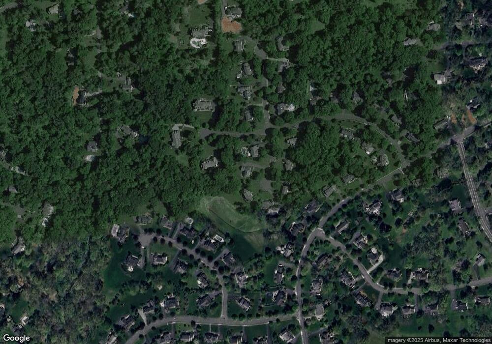
Map
Nearby Homes
- 135 Woods End Dr
- 12 Tamarisk Ct
- 209 Lake Rd
- 247 Lyons Rd
- 12 Wayne Terrace
- 117 W Oak St
- 92 Whitenack Rd
- 44 Manor Dr
- 19 Juniper Way
- 374 S Maple Ave
- 22 Dayton St
- 16 Dayton Crescent
- 7 Chestnut Ct
- 10 Tysley St
- 227 Arrowood Way
- 23 Charlotte Hill Dr
- 23 Hampton Ct
- 49 Alexandria Way Unit 5
- 280 Alexandria Way
- 2305 Privet Way