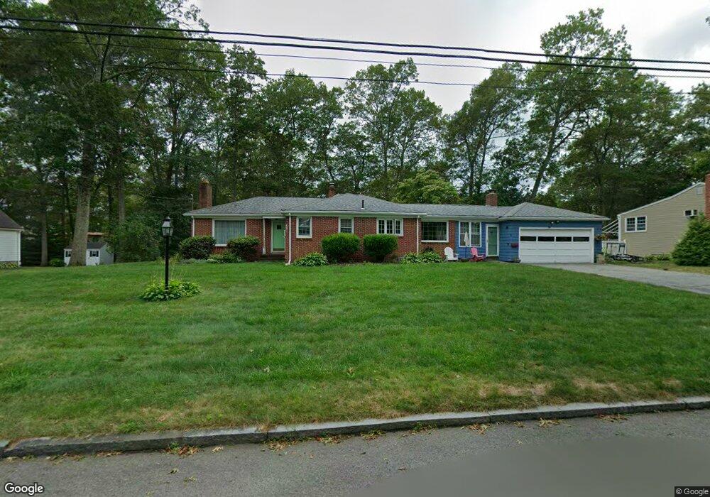
9 Page Rd Unit AL North Attleboro, MA 02760
North Attleboro NeighborhoodEstimated Value: $310,534 - $330,000
2
Beds
2
Baths
927
Sq Ft
$346/Sq Ft
Est. Value
About This Home
This home is located at 9 Page Rd Unit AL, North Attleboro, MA 02760 and is currently estimated at $320,884, approximately $346 per square foot. 9 Page Rd Unit AL is a home located in Bristol County with nearby schools including North Attleboro High School.
Ownership History
Date
Name
Owned For
Owner Type
Purchase Details
Closed on
Sep 22, 2016
Sold by
Cronin 3Rd Christopher F
Bought by
Carvalho Lisa B
Current Estimated Value
Purchase Details
Closed on
Dec 7, 2001
Sold by
Smith Brooke A and Marston Kerry M
Bought by
Briscoe Karen
Home Financials for this Owner
Home Financials are based on the most recent Mortgage that was taken out on this home.
Original Mortgage
$111,600
Interest Rate
6.67%
Mortgage Type
Purchase Money Mortgage
Purchase Details
Closed on
Jun 30, 2000
Sold by
Ohalloran Robert T and Ohalloran Helen M
Bought by
Smith Brooke A and Marston Kerry M
Home Financials for this Owner
Home Financials are based on the most recent Mortgage that was taken out on this home.
Original Mortgage
$80,200
Interest Rate
8.59%
Mortgage Type
Purchase Money Mortgage
Create a Home Valuation Report for This Property
The Home Valuation Report is an in-depth analysis detailing your home's value as well as a comparison with similar homes in the area
Home Values in the Area
Average Home Value in this Area
Purchase History
| Date | Buyer | Sale Price | Title Company |
|---|---|---|---|
| Carvalho Lisa B | -- | -- | |
| Briscoe Karen | $124,000 | -- | |
| Smith Brooke A | $84,500 | -- |
Source: Public Records
Mortgage History
| Date | Status | Borrower | Loan Amount |
|---|---|---|---|
| Previous Owner | Smith Brooke A | $111,600 | |
| Previous Owner | Smith Brooke A | $80,200 |
Source: Public Records
Tax History Compared to Growth
Tax History
| Year | Tax Paid | Tax Assessment Tax Assessment Total Assessment is a certain percentage of the fair market value that is determined by local assessors to be the total taxable value of land and additions on the property. | Land | Improvement |
|---|---|---|---|---|
| 2025 | $2,942 | $249,500 | $0 | $249,500 |
| 2024 | $2,857 | $247,600 | $0 | $247,600 |
| 2023 | $3,040 | $237,700 | $0 | $237,700 |
| 2022 | $2,722 | $195,400 | $0 | $195,400 |
| 2021 | $2,633 | $184,500 | $0 | $184,500 |
| 2020 | $2,414 | $168,200 | $0 | $168,200 |
| 2019 | $2,321 | $163,000 | $0 | $163,000 |
| 2018 | $1,972 | $147,800 | $0 | $147,800 |
| 2017 | $1,954 | $147,800 | $0 | $147,800 |
| 2016 | $1,695 | $128,200 | $0 | $128,200 |
| 2015 | $1,811 | $137,800 | $0 | $137,800 |
| 2014 | $1,814 | $137,000 | $0 | $137,000 |
Source: Public Records
Map
Nearby Homes
- 0 Anawan Rd
- 49 Hoppin Hill Ave
- 25 Gregory Way
- 40 Sperry Ln
- 30 Sperry Ln Unit Lot 15
- 50 Metcalf Rd
- 334 S Washington St
- 19 Metcalf Cir
- 130 E Washington St Unit 84
- 130 E Washington St Unit 71
- 80 Broadway Unit 9
- 160 Crescent Ave
- 121 E Washington St Unit 13
- 121 E Washington St Unit 11
- 121 E Washington St Unit 12
- 121 E Washington St Unit 8
- 121 E Washington St Unit 6
- 33 Ash St
- 11 Primrose Terrace
- 151 Roosevelt Ave Unit A