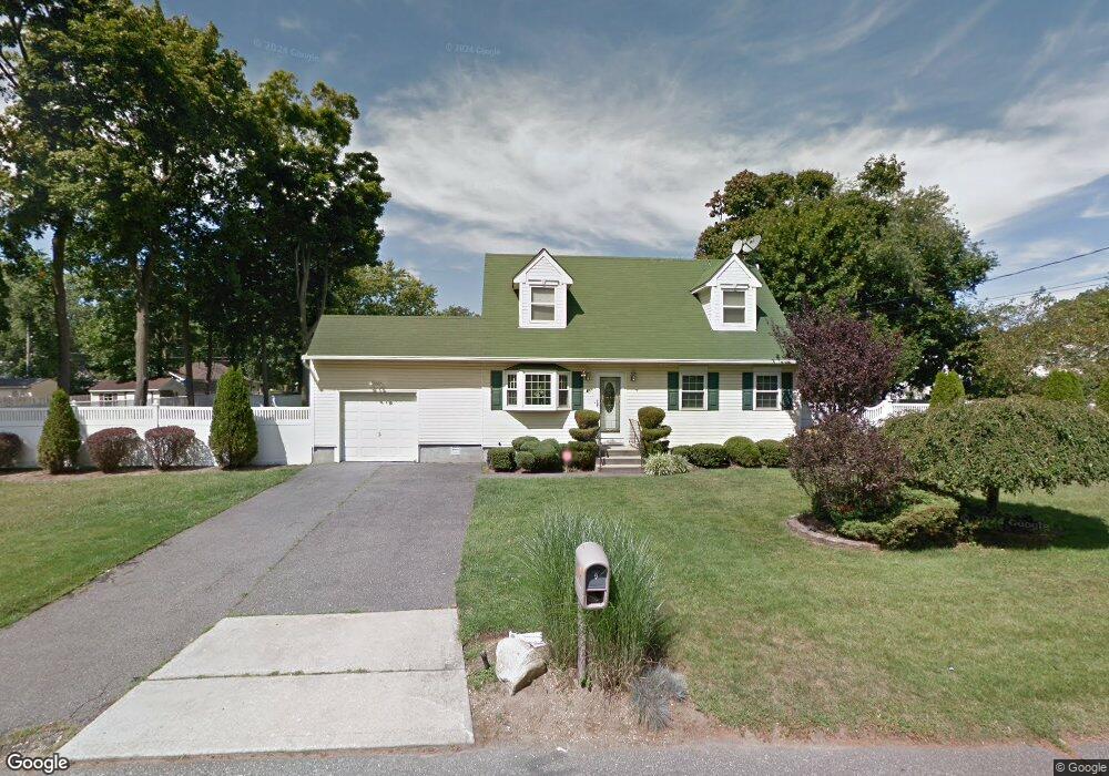
9 Palm Place West Babylon, NY 11704
Estimated Value: $581,000 - $711,000
4
Beds
2
Baths
1,475
Sq Ft
$435/Sq Ft
Est. Value
About This Home
This home is located at 9 Palm Place, West Babylon, NY 11704 and is currently estimated at $641,650, approximately $435 per square foot. 9 Palm Place is a home located in Suffolk County with nearby schools including Robert Moses Middle School and North Babylon High School.
Ownership History
Date
Name
Owned For
Owner Type
Purchase Details
Closed on
Sep 18, 2019
Sold by
Nprp Llc
Bought by
Joseph Guina
Current Estimated Value
Home Financials for this Owner
Home Financials are based on the most recent Mortgage that was taken out on this home.
Original Mortgage
$444,647
Interest Rate
3.5%
Mortgage Type
FHA
Purchase Details
Closed on
May 13, 2019
Sold by
Watson Mark and Cromwell-Watson Cathy
Bought by
Nprp Llc
Purchase Details
Closed on
Dec 31, 1998
Sold by
Easy Home Program Corp
Bought by
Watson Mark and Watson Cathy Cromwell
Create a Home Valuation Report for This Property
The Home Valuation Report is an in-depth analysis detailing your home's value as well as a comparison with similar homes in the area
Home Values in the Area
Average Home Value in this Area
Purchase History
| Date | Buyer | Sale Price | Title Company |
|---|---|---|---|
| Joseph Guina | $460,000 | None Available | |
| Nprp Llc | $246,000 | -- | |
| Watson Mark | $163,000 | -- | |
| Easy Home Program Corp | -- | -- |
Source: Public Records
Mortgage History
| Date | Status | Borrower | Loan Amount |
|---|---|---|---|
| Previous Owner | Joseph Guina | $444,647 |
Source: Public Records
Tax History Compared to Growth
Tax History
| Year | Tax Paid | Tax Assessment Tax Assessment Total Assessment is a certain percentage of the fair market value that is determined by local assessors to be the total taxable value of land and additions on the property. | Land | Improvement |
|---|---|---|---|---|
| 2024 | $10,334 | $3,070 | $450 | $2,620 |
| 2023 | $10,334 | $3,070 | $450 | $2,620 |
| 2022 | $8,992 | $3,070 | $450 | $2,620 |
| 2021 | $8,992 | $3,070 | $450 | $2,620 |
| 2020 | $8,274 | $3,070 | $450 | $2,620 |
| 2019 | $8,274 | $0 | $0 | $0 |
| 2018 | $7,908 | $3,070 | $450 | $2,620 |
| 2017 | $7,908 | $3,070 | $450 | $2,620 |
| 2016 | $7,801 | $3,070 | $450 | $2,620 |
| 2015 | -- | $3,070 | $450 | $2,620 |
| 2014 | -- | $3,070 | $450 | $2,620 |
Source: Public Records
Map
Nearby Homes
- 104 Essex St
- 135 Westchester Ave
- 270 Fulton St
- 1203 Little East Neck Rd
- 665 Commander Ave
- 23 Fulton St
- 56 Suffolk Ave
- 652 Empire Ave
- 21 Fulton St
- 340 Westchester Ave
- 82 Schenectady Ave
- 1569 11th St
- 21 Silver St
- 1227 Little East Neck Rd
- 1558 9th St
- 155 Throop St
- 545 Mount Ave
- 17 Wright St
- 51 Columbia St
- 37 Seward St