9 Pebble Path Ln West Springfield, MA 01089
West Springfield AreaEstimated Value: $453,905 - $497,000
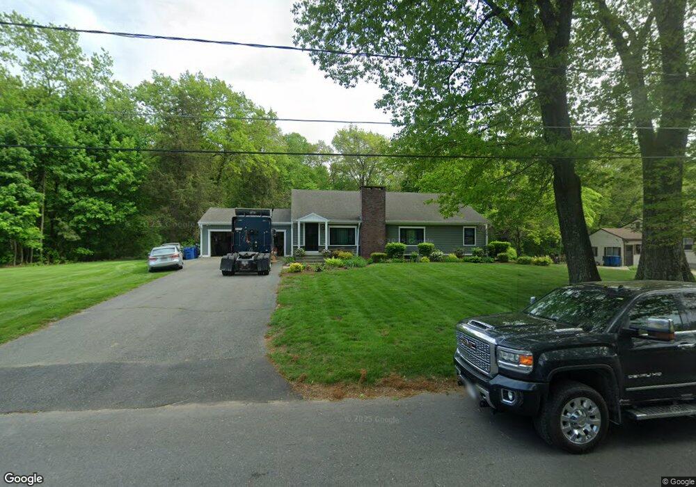
About This Home
This home is located at 9 Pebble Path Ln, West Springfield, MA 01089 and is currently estimated at $475,726, approximately $232 per square foot. 9 Pebble Path Ln is a home located in Hampden County with nearby schools including West Springfield High School and St Thomas The Apostle School.
Ownership History
We collect this data history from publicly available records. To have your information removed, we recommend requesting removal directly through your county’s website.
Purchase Details
Home Values in the Area
Average Home Value in this Area
Purchase History
We collect this data history from publicly available records. To have your information removed, we recommend requesting removal directly through your county’s website.
| Date | Buyer | Sale Price | Title Company |
|---|---|---|---|
| $180,000 | -- |
Mortgage History
We collect this data history from publicly available records. To have your information removed, we recommend requesting removal directly through your county’s website.
| Date | Status | Borrower | Loan Amount |
|---|---|---|---|
| Open | $163,000 | ||
| Closed | $25,000 | ||
| Closed | $19,000 | ||
| Closed | $192,000 | ||
| Closed | $175,000 | ||
| Closed | $15,000 |
Tax History
We collect this data history from publicly available records. To have your information removed, we recommend requesting removal directly through your county’s website.
| Year | Tax Paid | Tax Assessment Tax Assessment Total Assessment is a certain percentage of the fair market value that is determined by local assessors to be the total taxable value of land and additions on the property. | Land | Improvement |
|---|---|---|---|---|
| 2025 | $5,517 | $371,000 | $137,900 | $233,100 |
| 2024 | $5,441 | $367,400 | $137,900 | $229,500 |
| 2023 | $5,176 | $333,100 | $137,900 | $195,200 |
| 2022 | $4,682 | $297,100 | $125,300 | $171,800 |
| 2021 | $4,634 | $274,200 | $119,100 | $155,100 |
| 2020 | $4,648 | $273,600 | $119,100 | $154,500 |
| 2019 | $4,640 | $273,600 | $119,100 | $154,500 |
| 2018 | $4,665 | $273,600 | $119,100 | $154,500 |
| 2017 | $4,665 | $273,600 | $119,100 | $154,500 |
| 2016 | $4,608 | $271,200 | $114,600 | $156,600 |
| 2015 | $4,516 | $265,800 | $112,300 | $153,500 |
| 2014 | $1,097 | $265,800 | $112,300 | $153,500 |
Map
- 514 Dewey St
- 291 Forest Glen
- 326 Dewey St
- 231 Edgewood Rd
- 42 Allison Ln
- 264 Greystone Ave
- 125 Lennys Way
- 72 Paulson Dr
- 244 Belmont Ave
- 123 Greystone Ave
- 75 Greystone Ave
- 0 Ahiska Rd Unit 73477754
- 42 Ohio Ave
- 20 Sherwood Ave
- 20 Exeter St
- 24 Circle Dr
- 618 Morgan Rd
- 44 Woodmont St
- 80 Morton St
- 45-47 Janet St
- 23 Pebble Path Ln
- 56 Stone Path Ln
- 33 Pebble Path Ln
- 67 Stone Path Ln
- 24 Pebble Path Ln
- 57 Stone Path Ln
- 44 Stone Path Ln
- 43 Pebble Path Ln
- 44 Pebble Path Ln
- 41 Stone Path Ln
- 102 Westwood Dr
- 92 Westwood Dr
- 55 Pebble Path Ln
- 114 Westwood Dr
- 616 Dewey St
- 606 Dewey St
- 82 Westwood Dr
- 122 Westwood Dr
- 594 Dewey St
- 54 Pebble Path Ln
Ask me questions while you tour the home.