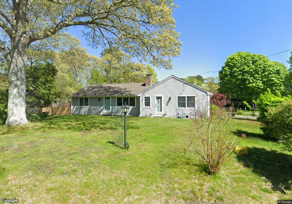
9 Pequod Cir Yarmouth Port, MA 02675
Yarmouth Port NeighborhoodEstimated Value: $536,000 - $642,000
3
Beds
2
Baths
1,440
Sq Ft
$402/Sq Ft
Est. Value
About This Home
This home is located at 9 Pequod Cir, Yarmouth Port, MA 02675 and is currently estimated at $578,478, approximately $401 per square foot. 9 Pequod Cir is a home located in Barnstable County with nearby schools including Dennis-Yarmouth Regional High School, St. Pius X. School, and Trinity Christian Academy of Cape Cod.
Ownership History
Date
Name
Owned For
Owner Type
Purchase Details
Closed on
Oct 23, 2008
Sold by
Carlson John A
Bought by
Worrall Andrea J
Current Estimated Value
Home Financials for this Owner
Home Financials are based on the most recent Mortgage that was taken out on this home.
Original Mortgage
$192,800
Interest Rate
5.94%
Mortgage Type
Purchase Money Mortgage
Purchase Details
Closed on
Oct 16, 1998
Sold by
Mossey Edmund D
Bought by
Carlson John A and Carlson Lois P
Create a Home Valuation Report for This Property
The Home Valuation Report is an in-depth analysis detailing your home's value as well as a comparison with similar homes in the area
Home Values in the Area
Average Home Value in this Area
Purchase History
| Date | Buyer | Sale Price | Title Company |
|---|---|---|---|
| Worrall Andrea J | $241,000 | -- | |
| Carlson John A | $122,000 | -- |
Source: Public Records
Mortgage History
| Date | Status | Borrower | Loan Amount |
|---|---|---|---|
| Open | Carlson John A | $192,000 | |
| Closed | Worrall Andrea J | $192,800 |
Source: Public Records
Tax History Compared to Growth
Tax History
| Year | Tax Paid | Tax Assessment Tax Assessment Total Assessment is a certain percentage of the fair market value that is determined by local assessors to be the total taxable value of land and additions on the property. | Land | Improvement |
|---|---|---|---|---|
| 2025 | $3,355 | $473,800 | $140,500 | $333,300 |
| 2024 | $3,177 | $430,500 | $148,100 | $282,400 |
| 2023 | $3,100 | $382,300 | $132,000 | $250,300 |
| 2022 | $2,923 | $318,400 | $118,800 | $199,600 |
| 2021 | $2,754 | $288,100 | $118,800 | $169,300 |
| 2020 | $2,700 | $270,000 | $118,800 | $151,200 |
| 2019 | $2,507 | $248,200 | $118,800 | $129,400 |
| 2018 | $2,328 | $226,200 | $96,800 | $129,400 |
| 2017 | $2,267 | $226,200 | $96,800 | $129,400 |
| 2016 | $2,170 | $217,400 | $88,000 | $129,400 |
| 2015 | $2,069 | $206,100 | $88,000 | $118,100 |
Source: Public Records
Map
Nearby Homes
- 209 Union St
- 68 Seminole Dr
- 32 Deveau Ln
- 882 W Yarmouth Rd
- 32 Deveau Ln
- 40 Deveau Ln
- 1 Hamblin Hill
- 8 Rowley Ln
- 170 Pine St
- 1016 W West Yarmouth Rd
- 463 Route 6a
- 24 Minnetuxet Way
- 50 Cottonwood St
- 16 Warren Rd Unit 16
- 16 Warren Rd
- 14 Many Oaks Cir
- 404 Route 6a
- 23 Dauphine Dr
- 21 Boxwood Cir
- 17 Trowbridge Path