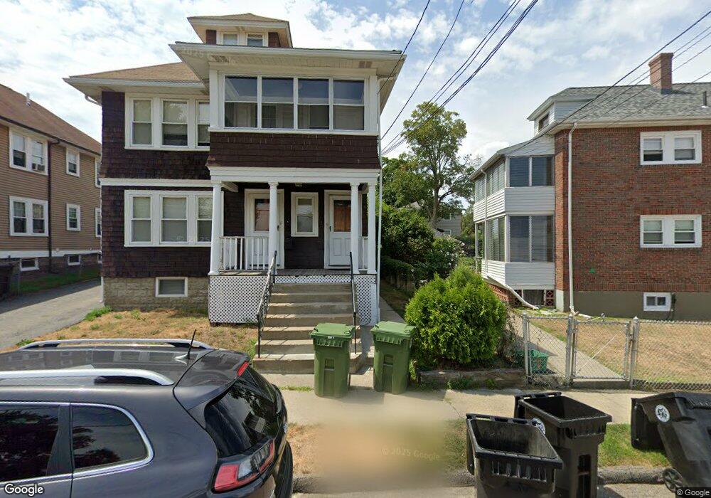
9 Pequossette St Unit 11 Watertown, MA 02472
East Watertown NeighborhoodEstimated Value: $988,000 - $1,202,269
4
Beds
2
Baths
2,531
Sq Ft
$431/Sq Ft
Est. Value
About This Home
This home is located at 9 Pequossette St Unit 11, Watertown, MA 02472 and is currently estimated at $1,089,817, approximately $430 per square foot. 9 Pequossette St Unit 11 is a home located in Middlesex County with nearby schools including St. Stephen's Armenian Elementary School, St Columbkille Partnership School, and The Kendall School.
Ownership History
Date
Name
Owned For
Owner Type
Purchase Details
Closed on
Dec 28, 2016
Sold by
Alfonso Michael J and Alfonso Maria
Bought by
Alfonso Michael J
Current Estimated Value
Create a Home Valuation Report for This Property
The Home Valuation Report is an in-depth analysis detailing your home's value as well as a comparison with similar homes in the area
Home Values in the Area
Average Home Value in this Area
Purchase History
| Date | Buyer | Sale Price | Title Company |
|---|---|---|---|
| Alfonso Michael J | -- | -- | |
| Alfonso Michael J | -- | -- |
Source: Public Records
Tax History Compared to Growth
Tax History
| Year | Tax Paid | Tax Assessment Tax Assessment Total Assessment is a certain percentage of the fair market value that is determined by local assessors to be the total taxable value of land and additions on the property. | Land | Improvement |
|---|---|---|---|---|
| 2025 | $11,361 | $972,700 | $515,900 | $456,800 |
| 2024 | $10,252 | $876,200 | $502,100 | $374,100 |
| 2023 | $11,546 | $850,200 | $480,300 | $369,900 |
| 2022 | $10,689 | $806,700 | $436,600 | $370,100 |
| 2021 | $9,550 | $779,600 | $422,000 | $357,600 |
| 2020 | $9,200 | $757,800 | $407,500 | $350,300 |
| 2019 | $8,990 | $698,000 | $407,500 | $290,500 |
| 2018 | $8,656 | $642,600 | $378,400 | $264,200 |
| 2017 | $8,631 | $621,400 | $331,100 | $290,300 |
| 2016 | $8,252 | $603,200 | $312,900 | $290,300 |
| 2015 | $7,468 | $496,900 | $276,500 | $220,400 |
| 2014 | $7,161 | $478,700 | $258,300 | $220,400 |
Source: Public Records
Map
Nearby Homes
- 194 N Beacon St
- 24-26 Louise St
- 14 Royal St
- 180-182 Walnut St
- 84 Boylston St
- 235 Mount Auburn St
- 27 Ladd St Unit 27
- 25 Ladd St Unit 25
- 25 Ladd St
- 14 N Beacon Ct
- 4 Remick Terrace
- 4 Remick Terrace Unit 4
- 11 Broadway Unit 11
- 154 Cypress St
- 93 Spring St Unit 29
- 69 Presentation Rd
- 180 Hunnewell Ave Unit 180
- 159 Washington St Unit 4
- 57 Quimby St
- 85 Dexter Ave Unit 87
- 9 Pequossette St Unit 2
- 13 Pequossette St
- 217 N Beacon St
- 217 North Beacon St Unit 219
- 19 Pequossette St Unit 1
- 19 Pequossette St
- 213 North Beacon St Unit 215
- 17 Pequossette St Unit 2
- 17 Pequossette St
- 17 Pequossette St Unit 17A
- 17 Pequossette St Unit 17T
- 17 Pequossette St
- 50 Beechwood Ave Unit 52
- 50 Beechwood Ave Unit 2
- 50 Beechwood Ave Unit 1
- 213 N Beacon St Unit 213
- 213 N Beacon St Unit 215
- 54 Beechwood Ave Unit 56
- 54 Beechwood Ave Unit 1
- 46 Beechwood Ave