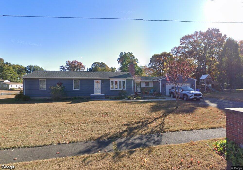
9 Pheasant Run Rd Southington, CT 06489
West Southington NeighborhoodEstimated Value: $389,050 - $431,000
3
Beds
1
Bath
1,425
Sq Ft
$292/Sq Ft
Est. Value
About This Home
This home is located at 9 Pheasant Run Rd, Southington, CT 06489 and is currently estimated at $415,513, approximately $291 per square foot. 9 Pheasant Run Rd is a home located in Hartford County with nearby schools including Urbin T. Kelley Elementary School, John F. Kennedy Middle School, and Southington High School.
Ownership History
Date
Name
Owned For
Owner Type
Purchase Details
Closed on
May 1, 2002
Sold by
Banks Harold H
Bought by
Thompson Patricia A
Current Estimated Value
Home Financials for this Owner
Home Financials are based on the most recent Mortgage that was taken out on this home.
Original Mortgage
$90,000
Interest Rate
7.13%
Purchase Details
Closed on
Jul 31, 1997
Sold by
Gagnon Roy
Bought by
Banks Harold H
Create a Home Valuation Report for This Property
The Home Valuation Report is an in-depth analysis detailing your home's value as well as a comparison with similar homes in the area
Home Values in the Area
Average Home Value in this Area
Purchase History
| Date | Buyer | Sale Price | Title Company |
|---|---|---|---|
| Thompson Patricia A | $171,900 | -- | |
| Banks Harold H | $157,500 | -- |
Source: Public Records
Mortgage History
| Date | Status | Borrower | Loan Amount |
|---|---|---|---|
| Open | Banks Harold H | $29,000 | |
| Open | Banks Harold H | $91,880 | |
| Closed | Banks Harold H | $90,000 |
Source: Public Records
Tax History Compared to Growth
Tax History
| Year | Tax Paid | Tax Assessment Tax Assessment Total Assessment is a certain percentage of the fair market value that is determined by local assessors to be the total taxable value of land and additions on the property. | Land | Improvement |
|---|---|---|---|---|
| 2025 | $5,127 | $154,370 | $61,870 | $92,500 |
| 2024 | $4,853 | $154,370 | $61,870 | $92,500 |
| 2023 | $4,687 | $154,370 | $61,870 | $92,500 |
| 2022 | $4,497 | $154,370 | $61,870 | $92,500 |
| 2021 | $4,481 | $154,370 | $61,870 | $92,500 |
| 2020 | $4,529 | $147,850 | $63,130 | $84,720 |
| 2019 | $4,530 | $147,850 | $63,130 | $84,720 |
| 2018 | $4,506 | $147,850 | $63,130 | $84,720 |
| 2017 | $4,506 | $147,850 | $63,130 | $84,720 |
| 2016 | $4,382 | $147,850 | $63,130 | $84,720 |
| 2015 | $4,433 | $152,130 | $56,950 | $95,180 |
| 2014 | $4,314 | $152,130 | $56,950 | $95,180 |
Source: Public Records
Map
Nearby Homes
- 452 Jude Ln
- 484 Jude Ln
- 132 Walkley Dr
- 1452 Mount Vernon Rd
- 154 Cascade Ridge
- 84 Empress Dr
- 39 Morningside Ln
- 140 Edgewood Cir
- 0 Winchester Estates Lot 17
- 943 Mount Vernon Rd
- 500 Mill St Unit 3
- 159 Sunnyslope Dr
- 206 Mountain Pond Rd
- 356 W Center St
- 103 Mountain Pond Rd
- 61 Pine Hollow Dr
- 47 Gannet Dr
- 363 Winding Ridge
- 110 W Pines Dr
- 73 Kathryn Ln
- 44 Winter Park Rd
- 10 Pheasant Run Rd
- 25 Pheasant Run Rd
- 34 Winter Park Rd
- 80 Winter Park Rd
- 26 Pheasant Run Rd
- 51 Winter Park Rd
- 37 Pheasant Run Rd
- 41 Winter Park Rd
- 71 Winter Park Rd
- 24 Winter Park Rd
- 66 Autumn Dr
- 36 Pheasant Run Rd
- 54 Autumn Dr
- 31 Winter Park Rd
- 90 Winter Park Rd
- 81 Winter Park Rd
- 47 Pheasant Run Rd
- 74 Autumn Dr
- 40 Autumn Dr