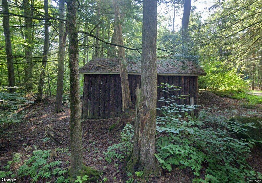
9 Pine Rd Northfield, MA 01360
Estimated Value: $310,000 - $380,387
2
Beds
2
Baths
1,086
Sq Ft
$310/Sq Ft
Est. Value
About This Home
This home is located at 9 Pine Rd, Northfield, MA 01360 and is currently estimated at $336,847, approximately $310 per square foot. 9 Pine Rd is a home located in Franklin County with nearby schools including Pioneer Valley Regional.
Ownership History
Date
Name
Owned For
Owner Type
Purchase Details
Closed on
Dec 26, 2014
Sold by
Stinson Martha
Bought by
Brouillette Meredith
Current Estimated Value
Home Financials for this Owner
Home Financials are based on the most recent Mortgage that was taken out on this home.
Original Mortgage
$180,000
Outstanding Balance
$135,979
Interest Rate
4.02%
Mortgage Type
New Conventional
Estimated Equity
$200,868
Purchase Details
Closed on
Feb 28, 2007
Sold by
Sommers Christina and Sommers Frederick T
Bought by
Stintson Martha
Create a Home Valuation Report for This Property
The Home Valuation Report is an in-depth analysis detailing your home's value as well as a comparison with similar homes in the area
Home Values in the Area
Average Home Value in this Area
Purchase History
| Date | Buyer | Sale Price | Title Company |
|---|---|---|---|
| Brouillette Meredith | $180,000 | -- | |
| Brouillette Meredith | $180,000 | -- | |
| Stintson Martha | $85,000 | -- | |
| Stintson Martha | $85,000 | -- |
Source: Public Records
Mortgage History
| Date | Status | Borrower | Loan Amount |
|---|---|---|---|
| Open | Brouillette Meredith | $180,000 | |
| Closed | Stintson Martha | $180,000 |
Source: Public Records
Tax History
| Year | Tax Paid | Tax Assessment Tax Assessment Total Assessment is a certain percentage of the fair market value that is determined by local assessors to be the total taxable value of land and additions on the property. | Land | Improvement |
|---|---|---|---|---|
| 2025 | $4,336 | $313,300 | $37,700 | $275,600 |
| 2024 | $4,142 | $305,000 | $35,500 | $269,500 |
| 2023 | $3,720 | $273,900 | $35,100 | $238,800 |
| 2022 | $3,313 | $239,200 | $35,100 | $204,100 |
| 2021 | $3,587 | $222,500 | $36,600 | $185,900 |
| 2020 | $3,468 | $208,800 | $36,600 | $172,200 |
| 2019 | $3,490 | $200,600 | $36,600 | $164,000 |
| 2018 | $3,484 | $195,100 | $36,600 | $158,500 |
| 2017 | $3,209 | $195,100 | $36,600 | $158,500 |
| 2016 | $3,100 | $195,100 | $36,600 | $158,500 |
| 2015 | $3,248 | $195,100 | $36,600 | $158,500 |
Source: Public Records
Map
Nearby Homes
- 64 East St
- 16 Harbourt Dr
- 83 Capt Beers Plain Rd
- 0 Tipping Rock Rd Unit 32
- 259 Bolton Rd
- 0 Sears St Unit 23759828
- 258 Bolton Rd
- 56 Whitetail Dr
- 0, Lot 1 Flower Hill Rd
- 464 Main Rd
- 119 Warwick Rd
- 406 Back Ashuelot Rd
- 290 Scotland Rd
- 90 Hemlock Rd
- 0 Meadowview Ln & Pine Meadow Rd
- 7 Purcell Rd
- 31 Poplar Ln
- 946 Huckle Hill Rd
- 69 Plumb Pak Dr
- 12 Pudding Hill Rd
Your Personal Tour Guide
Ask me questions while you tour the home.