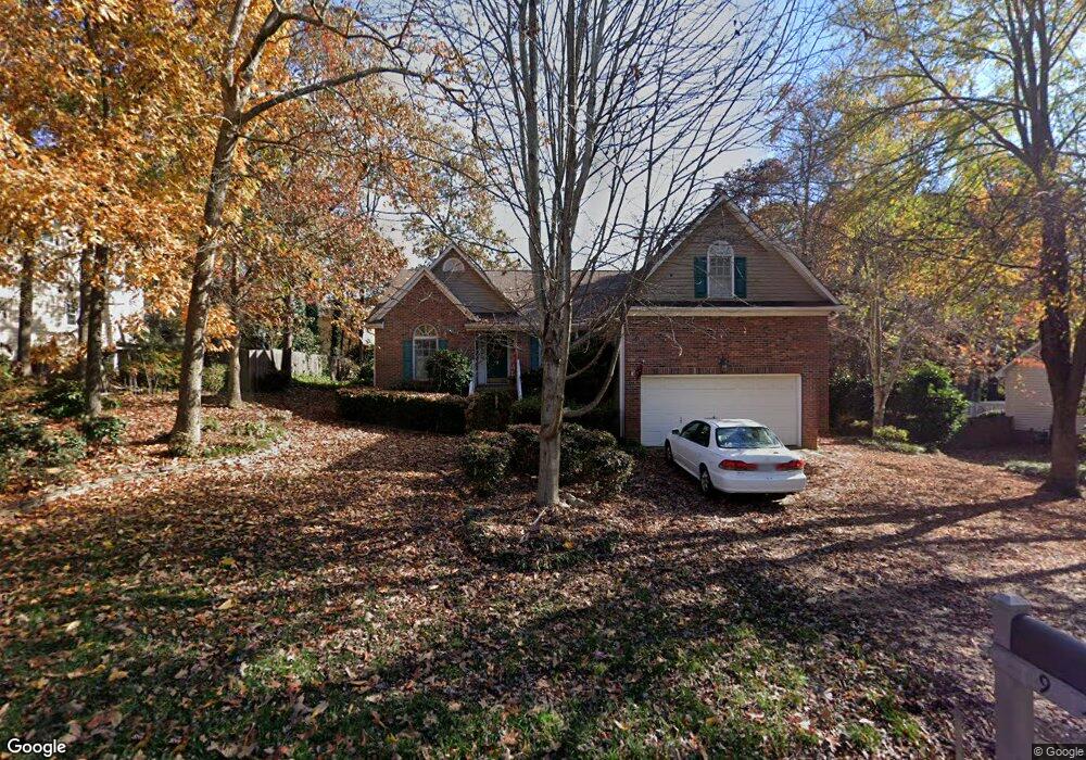
9 Planters Row Dr Mauldin, SC 29662
Estimated Value: $309,562 - $361,000
4
Beds
2
Baths
1,991
Sq Ft
$168/Sq Ft
Est. Value
About This Home
This home is located at 9 Planters Row Dr, Mauldin, SC 29662 and is currently estimated at $334,391, approximately $167 per square foot. 9 Planters Row Dr is a home located in Greenville County with nearby schools including Greenbrier Elementary School, Hillcrest Middle School, and Mauldin High School.
Ownership History
Date
Name
Owned For
Owner Type
Purchase Details
Closed on
Jul 14, 2010
Sold by
Burgan John S and Burgan Heidi K
Bought by
Martin Randall K and Martin Simmone M
Current Estimated Value
Home Financials for this Owner
Home Financials are based on the most recent Mortgage that was taken out on this home.
Original Mortgage
$30,000
Interest Rate
4.79%
Mortgage Type
New Conventional
Purchase Details
Closed on
Jan 22, 2003
Sold by
Shipley Gale
Bought by
Burgan Heidi K
Create a Home Valuation Report for This Property
The Home Valuation Report is an in-depth analysis detailing your home's value as well as a comparison with similar homes in the area
Home Values in the Area
Average Home Value in this Area
Purchase History
| Date | Buyer | Sale Price | Title Company |
|---|---|---|---|
| Martin Randall K | $175,000 | -- | |
| Burgan Heidi K | $155,000 | -- |
Source: Public Records
Mortgage History
| Date | Status | Borrower | Loan Amount |
|---|---|---|---|
| Closed | Martin Randall K | $30,000 |
Source: Public Records
Tax History
| Year | Tax Paid | Tax Assessment Tax Assessment Total Assessment is a certain percentage of the fair market value that is determined by local assessors to be the total taxable value of land and additions on the property. | Land | Improvement |
|---|---|---|---|---|
| 2025 | $1,416 | $8,550 | $2,090 | $6,460 |
| 2024 | $1,416 | $7,430 | $1,240 | $6,190 |
| 2023 | $1,356 | $7,430 | $1,240 | $6,190 |
| 2022 | $1,278 | $7,430 | $1,240 | $6,190 |
| 2021 | $1,278 | $7,430 | $1,240 | $6,190 |
| 2020 | $1,178 | $6,460 | $1,080 | $5,380 |
| 2019 | $1,179 | $6,460 | $1,080 | $5,380 |
| 2018 | $1,176 | $6,460 | $1,080 | $5,380 |
| 2017 | $1,176 | $6,460 | $1,080 | $5,380 |
| 2016 | $1,132 | $161,590 | $27,000 | $134,590 |
| 2015 | $1,132 | $161,590 | $27,000 | $134,590 |
| 2014 | $1,257 | $181,060 | $30,000 | $151,060 |
Source: Public Records
Map
Nearby Homes
- 3 Old Hastings Ct
- 101 Laport Dr
- 108 Sea Oats Inlet
- 2 Knollvine Cove
- 15 Sea Oats Inlet
- 104 Fawn Ridge Way
- 106 Whitestone Ave
- 105 Poplar Springs Dr
- 222 Horse Tack Trail
- 464 Bishop Dr
- 103 Ridan Rd
- 407 Bel Arbor Ln
- 9 Colombard Ct
- 12 Harrow Ct
- 10 Croftstone Ct
- 2 Trailstream Dr
- 8 Chelseabrook Ct
- 4 Woodbend Ct
- 1 Tideland Ct
- 508 Fieldgate Ct
- 5 Planters Row Dr
- 101 Planters Row Dr
- 5 Old Hastings Ct
- 1 Planters Row Dr
- 201 Planters Row Dr
- 6 Planters Row Dr
- 2 Cade Ct
- 2 Old Hastings Ct
- 1 Cade Ct
- 203 Planters Row Dr
- 2 Planters Row Dr
- 100 Edmondston Ct
- 314 Hyde Park Ln
- 2 Oyster Bay Ct
- 1 Old Hastings Ct
- 1 Sickle Ct
- 3 Cade Ct
- 4 Cade Ct
- 102 Edmondston Ct
- 9 Natchez Dr
Your Personal Tour Guide
Ask me questions while you tour the home.