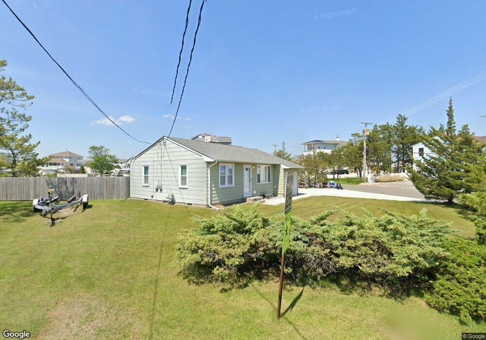
9 Point Rd Waretown, NJ 08758
Estimated Value: $429,000 - $557,000
2
Beds
1
Bath
1,008
Sq Ft
$486/Sq Ft
Est. Value
About This Home
This home is located at 9 Point Rd, Waretown, NJ 08758 and is currently estimated at $489,579, approximately $485 per square foot. 9 Point Rd is a home located in Ocean County with nearby schools including Waretown Elementary School and Frederic A. Priff Elementary School.
Ownership History
Date
Name
Owned For
Owner Type
Purchase Details
Closed on
Apr 21, 1998
Sold by
Maleck Walter and Maleck Irene
Bought by
Luskin John J
Current Estimated Value
Home Financials for this Owner
Home Financials are based on the most recent Mortgage that was taken out on this home.
Original Mortgage
$40,000
Interest Rate
7%
Mortgage Type
Purchase Money Mortgage
Purchase Details
Closed on
Mar 31, 1998
Sold by
Maleck Walter and Maleck Irene
Bought by
Township Of Ocean
Home Financials for this Owner
Home Financials are based on the most recent Mortgage that was taken out on this home.
Original Mortgage
$40,000
Interest Rate
7%
Mortgage Type
Purchase Money Mortgage
Create a Home Valuation Report for This Property
The Home Valuation Report is an in-depth analysis detailing your home's value as well as a comparison with similar homes in the area
Home Values in the Area
Average Home Value in this Area
Purchase History
| Date | Buyer | Sale Price | Title Company |
|---|---|---|---|
| Luskin John J | $84,500 | -- | |
| Township Of Ocean | -- | -- | |
| Maleck Walter | -- | -- |
Source: Public Records
Mortgage History
| Date | Status | Borrower | Loan Amount |
|---|---|---|---|
| Closed | Luskin John J | $40,000 |
Source: Public Records
Tax History
| Year | Tax Paid | Tax Assessment Tax Assessment Total Assessment is a certain percentage of the fair market value that is determined by local assessors to be the total taxable value of land and additions on the property. | Land | Improvement |
|---|---|---|---|---|
| 2025 | $6,801 | $450,700 | $310,200 | $140,500 |
| 2024 | $6,309 | $450,700 | $310,200 | $140,500 |
Source: Public Records
Map
Nearby Homes
- 18 High Tide Dr
- 115 Bonita Rd
- 25 Forest Park Dr
- 27 Forest Park Dr
- 29 Forest Park Dr
- 31 Forest Park Dr
- 33 Forest Park Dr
- 125 Clifton Rd
- 46 Baybreeze Dr
- 104 Clearwater Dr
- 309 5th St
- 306 4th St
- 105 Atlantic Ave Unit 4
- 66 Clearwater Dr
- 34 Forest Park Dr
- 38 Baybreeze Dr
- 35 Forest Park Dr
- 22 Forest Park Dr
- 44 Baybreeze Dr
- 40 Baybreeze Dr
Your Personal Tour Guide
Ask me questions while you tour the home.