Estimated Value: $427,000 - $478,000
3
Beds
2
Baths
1,811
Sq Ft
$248/Sq Ft
Est. Value
About This Home
This home is located at 9 Pondview Rd, Weare, NH 03281 and is currently estimated at $448,827, approximately $247 per square foot. 9 Pondview Rd is a home with nearby schools including Center Woods Elementary School, Weare Middle School, and John Stark Regional High School.
Ownership History
Date
Name
Owned For
Owner Type
Purchase Details
Closed on
Aug 29, 2024
Sold by
Lonas Larry L and Lonas Susan L
Bought by
Matras Nicholas and Matras Rebecca
Current Estimated Value
Home Financials for this Owner
Home Financials are based on the most recent Mortgage that was taken out on this home.
Original Mortgage
$402,300
Outstanding Balance
$397,289
Interest Rate
6.77%
Mortgage Type
Purchase Money Mortgage
Estimated Equity
$51,538
Create a Home Valuation Report for This Property
The Home Valuation Report is an in-depth analysis detailing your home's value as well as a comparison with similar homes in the area
Home Values in the Area
Average Home Value in this Area
Purchase History
| Date | Buyer | Sale Price | Title Company |
|---|---|---|---|
| Matras Nicholas | $447,000 | None Available | |
| Matras Nicholas | $447,000 | None Available |
Source: Public Records
Mortgage History
| Date | Status | Borrower | Loan Amount |
|---|---|---|---|
| Open | Matras Nicholas | $402,300 | |
| Closed | Matras Nicholas | $402,300 |
Source: Public Records
Tax History
| Year | Tax Paid | Tax Assessment Tax Assessment Total Assessment is a certain percentage of the fair market value that is determined by local assessors to be the total taxable value of land and additions on the property. | Land | Improvement |
|---|---|---|---|---|
| 2025 | $6,799 | $314,200 | $112,500 | $201,700 |
| 2024 | $6,201 | $304,100 | $112,500 | $191,600 |
| 2023 | $5,729 | $304,100 | $112,500 | $191,600 |
| 2022 | $5,291 | $304,100 | $112,500 | $191,600 |
| 2021 | $5,231 | $304,100 | $112,500 | $191,600 |
| 2020 | $5,053 | $211,000 | $79,300 | $131,700 |
| 2019 | $4,882 | $205,900 | $75,300 | $130,600 |
| 2018 | $4,742 | $205,900 | $75,300 | $130,600 |
| 2016 | $4,606 | $205,900 | $75,300 | $130,600 |
| 2015 | $4,677 | $208,700 | $79,100 | $129,600 |
| 2014 | $4,524 | $203,700 | $79,100 | $124,600 |
| 2013 | $4,430 | $203,700 | $79,100 | $124,600 |
Source: Public Records
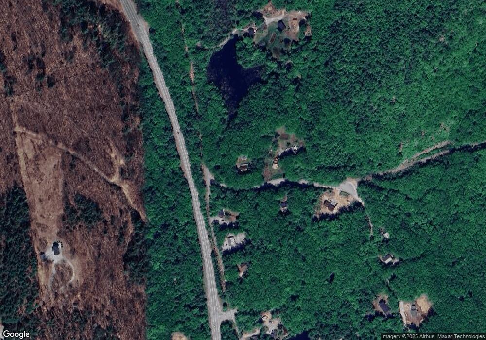
Map
Nearby Homes
- 25 Mount Dearborn Rd
- 415 Flanders Memorial Rd
- 69 Peaslee Hill Rd
- 34 New Rd
- 624 S Stark Hwy
- 75 Clark Mill Rd
- 0 Huntington Hill Rd Unit 69
- 1583 River Rd
- 236 Buckley Rd
- 194 Buckley Rd Unit 2
- Map 201 Lot 114 Thorndike Rd
- 15 Chevey Hill Rd
- 0 Eastman Way
- 103 Renshaw Rd
- 916 River Rd
- 22 Abijah Bridge Rd
- 00 Wildwood Unit 19
- 352 S Sugar Hill Rd
- 24 Etta Ln Unit 3
- 311 S Sugar Hill Rd
- 9 Pond View Rd
- 17 Pondview Rd
- 66 Mount William Pond Rd
- 18 Pondview Rd
- 58 Mount William Pond Rd
- 46 Mount William Pond Rd
- 43 Pondview Rd
- 106 Mount William Pond Rd
- 0 Barnard Hill and Eastman Way Unit 4919624
- 637 Ab River Rd
- 47 Pondview Rd
- 34 Mount William Pond Rd
- 25 Pondside Rd
- 62 Pond View Rd
- 26 Pondside Rd
- 108 Orchard Path Rd
- 21 Pondside Rd
- 24 Mount William Pond Rd
- 1111 S Stark Hwy
- 1111 S Stark Hwy
Your Personal Tour Guide
Ask me questions while you tour the home.