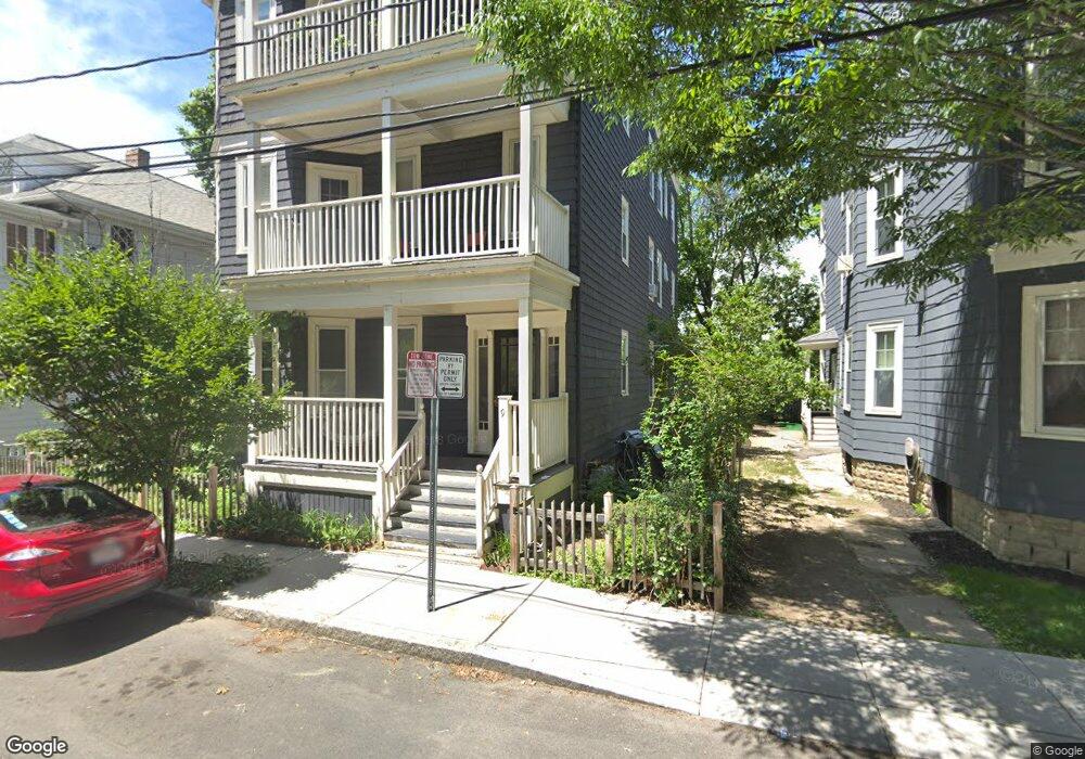
9 Poplar Rd Unit 2 Cambridge, MA 02138
West Cambridge NeighborhoodEstimated Value: $814,000 - $1,321,000
3
Beds
1
Bath
1,200
Sq Ft
$836/Sq Ft
Est. Value
About This Home
This home is located at 9 Poplar Rd Unit 2, Cambridge, MA 02138 and is currently estimated at $1,003,397, approximately $836 per square foot. 9 Poplar Rd Unit 2 is a home located in Middlesex County with nearby schools including Cambridge Montessori School, St Peter School, and Cambridge Friends School.
Ownership History
Date
Name
Owned For
Owner Type
Purchase Details
Closed on
Feb 5, 2024
Sold by
Arthur Joseph F
Bought by
Gokhale Manjusha
Current Estimated Value
Purchase Details
Closed on
Jun 26, 1997
Sold by
Toomey Danielp and Scanlon Stephen
Bought by
Arthur Joseph F and Gokhale Manjusha
Home Financials for this Owner
Home Financials are based on the most recent Mortgage that was taken out on this home.
Original Mortgage
$152,950
Interest Rate
7.81%
Mortgage Type
Purchase Money Mortgage
Create a Home Valuation Report for This Property
The Home Valuation Report is an in-depth analysis detailing your home's value as well as a comparison with similar homes in the area
Home Values in the Area
Average Home Value in this Area
Purchase History
| Date | Buyer | Sale Price | Title Company |
|---|---|---|---|
| Gokhale Manjusha | -- | None Available | |
| Arthur Joseph F | $161,000 | -- |
Source: Public Records
Mortgage History
| Date | Status | Borrower | Loan Amount |
|---|---|---|---|
| Previous Owner | Arthur Joseph F | $152,950 |
Source: Public Records
Tax History Compared to Growth
Tax History
| Year | Tax Paid | Tax Assessment Tax Assessment Total Assessment is a certain percentage of the fair market value that is determined by local assessors to be the total taxable value of land and additions on the property. | Land | Improvement |
|---|---|---|---|---|
| 2025 | $4,780 | $752,800 | $0 | $752,800 |
| 2024 | $4,460 | $753,300 | $0 | $753,300 |
| 2023 | $4,220 | $720,200 | $0 | $720,200 |
| 2022 | $4,203 | $710,000 | $0 | $710,000 |
| 2021 | $4,114 | $703,300 | $0 | $703,300 |
| 2020 | $3,945 | $686,000 | $0 | $686,000 |
| 2019 | $3,811 | $641,500 | $0 | $641,500 |
| 2018 | $3,732 | $593,300 | $0 | $593,300 |
| 2017 | $3,636 | $560,200 | $0 | $560,200 |
| 2016 | $3,555 | $508,600 | $0 | $508,600 |
| 2015 | $3,515 | $449,500 | $0 | $449,500 |
| 2014 | $3,456 | $412,400 | $0 | $412,400 |
Source: Public Records
Map
Nearby Homes
- 243 Lexington Ave
- 107 Grozier Rd Unit 1
- 465 Huron Ave Unit 1
- 182 Larch Rd
- 382 Huron Ave
- 31 Chilton St Unit 1
- 134 Lexington Ave Unit 2
- 92 Fayerweather St Unit 2
- 24 Bay State Rd Unit 7
- 71-73 Reservoir St
- 422-424 Walden St
- 43 Larch Rd
- 156 Fayerweather St Unit 156
- 14-16 Field St
- 32 Copley St Unit 2
- 1 Aberdeen Way Unit 113
- 5 Field St
- 234 Huron Ave
- 29 Wheeler St Unit 108
- 47 Homer Ave Unit 5-3
- 9 Poplar Rd Unit 3
- 9 Poplar Rd Unit 1
- 7 Poplar Rd Unit 3
- 5 Poplar Rd
- 5 Poplar Rd Unit 3
- 11 Poplar Rd
- 8 Poplar Rd
- 8 Poplar Rd Unit A
- 8 Poplar Rd Unit C
- 8 Poplar Rd Unit B
- 252 Lexington Ave
- 256 Lexington Ave
- 6 Poplar Rd
- 6 Poplar Rd
- 6 Poplar Rd Unit 3
- 10 Poplar Rd Unit 3
- 10 Poplar Rd Unit 2
- 10 Poplar Rd Unit 1
- 244 Lexington Ave Unit 3
- 244 Lexington Ave Unit 2