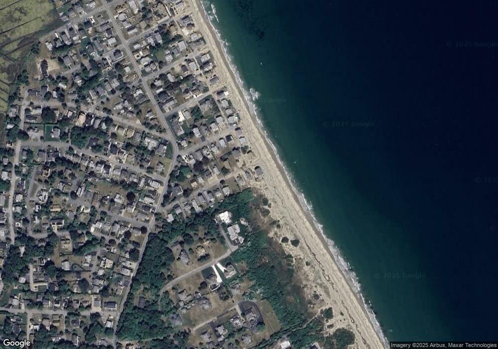
9 Porter St Marshfield, MA 02050
Ocean Bluff-Brant Rock NeighborhoodEstimated Value: $737,872 - $841,000
2
Beds
2
Baths
1,138
Sq Ft
$692/Sq Ft
Est. Value
About This Home
This home is located at 9 Porter St, Marshfield, MA 02050 and is currently estimated at $787,968, approximately $692 per square foot. 9 Porter St is a home with nearby schools including Daniel Webster, Furnace Brook Middle School, and Marshfield High School.
Create a Home Valuation Report for This Property
The Home Valuation Report is an in-depth analysis detailing your home's value as well as a comparison with similar homes in the area
Home Values in the Area
Average Home Value in this Area
Tax History Compared to Growth
Tax History
| Year | Tax Paid | Tax Assessment Tax Assessment Total Assessment is a certain percentage of the fair market value that is determined by local assessors to be the total taxable value of land and additions on the property. | Land | Improvement |
|---|---|---|---|---|
| 2025 | $6,409 | $647,400 | $499,600 | $147,800 |
| 2024 | $6,295 | $605,900 | $475,800 | $130,100 |
| 2023 | $6,488 | $549,100 | $436,200 | $112,900 |
| 2022 | $6,488 | $501,000 | $396,500 | $104,500 |
| 2021 | $6,108 | $463,100 | $370,800 | $92,300 |
| 2020 | $5,988 | $449,200 | $356,900 | $92,300 |
| 2019 | $5,941 | $444,000 | $356,900 | $87,100 |
| 2018 | $5,459 | $408,300 | $321,200 | $87,100 |
| 2017 | $5,506 | $401,300 | $321,200 | $80,100 |
| 2016 | $5,240 | $377,500 | $297,400 | $80,100 |
| 2015 | $5,218 | $392,600 | $321,200 | $71,400 |
| 2014 | $5,164 | $388,600 | $317,200 | $71,400 |
Source: Public Records
Map
Nearby Homes