9 Powerline Way Orrington, ME 04474
Estimated Value: $188,000 - $454,000
--
Bed
--
Bath
--
Sq Ft
2.18
Acres
About This Home
This home is located at 9 Powerline Way, Orrington, ME 04474 and is currently estimated at $317,362. 9 Powerline Way is a home with nearby schools including Center Drive School.
Ownership History
Date
Name
Owned For
Owner Type
Purchase Details
Closed on
Apr 22, 2020
Sold by
Hubbard Leon W and Hubbard Sonja L
Bought by
Pacheco Eric M and Pacheco Leanne M
Current Estimated Value
Home Financials for this Owner
Home Financials are based on the most recent Mortgage that was taken out on this home.
Original Mortgage
$85,000
Outstanding Balance
$75,157
Interest Rate
3.3%
Mortgage Type
New Conventional
Estimated Equity
$242,205
Purchase Details
Closed on
Apr 18, 2008
Sold by
Thornton Matthew and Thornton Clare J
Bought by
Central Maine Power Co
Create a Home Valuation Report for This Property
The Home Valuation Report is an in-depth analysis detailing your home's value as well as a comparison with similar homes in the area
Home Values in the Area
Average Home Value in this Area
Purchase History
| Date | Buyer | Sale Price | Title Company |
|---|---|---|---|
| Pacheco Eric M | -- | None Available | |
| Central Maine Power Co | -- | -- |
Source: Public Records
Mortgage History
| Date | Status | Borrower | Loan Amount |
|---|---|---|---|
| Open | Pacheco Eric M | $85,000 |
Source: Public Records
Tax History Compared to Growth
Tax History
| Year | Tax Paid | Tax Assessment Tax Assessment Total Assessment is a certain percentage of the fair market value that is determined by local assessors to be the total taxable value of land and additions on the property. | Land | Improvement |
|---|---|---|---|---|
| 2024 | $2,849 | $261,400 | $50,300 | $211,100 |
| 2023 | $2,716 | $246,900 | $46,800 | $200,100 |
| 2022 | $2,828 | $221,800 | $46,800 | $175,000 |
| 2021 | $2,984 | $198,900 | $46,800 | $152,100 |
| 2020 | $2,991 | $188,100 | $46,800 | $141,300 |
| 2019 | $2,876 | $180,900 | $46,800 | $134,100 |
| 2018 | $2,515 | $180,900 | $46,800 | $134,100 |
| 2017 | $2,515 | $180,900 | $46,800 | $134,100 |
| 2016 | $2,909 | $202,700 | $44,300 | $158,400 |
| 2015 | $2,909 | $202,700 | $44,300 | $158,400 |
| 2014 | $2,772 | $193,200 | $44,300 | $148,900 |
| 2013 | $2,599 | $193,200 | $44,300 | $148,900 |
Source: Public Records
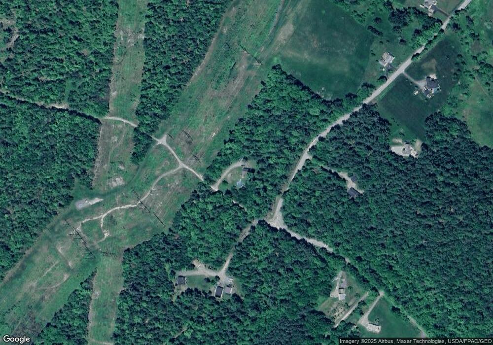
Map
Nearby Homes
- 518 Betts Rd
- 101 Oak Hill Rd
- 999 Brewer Lake Rd
- 900 Brewer Lake Rd
- 1, 23, 24 Cottage Shore Dr
- Lot 37 Cottage Shore Dr
- 23, 24 Cottage Shore Dr
- 1 Cottage Shore Dr
- 76 Cottage Shore Dr
- 92 Cottage Shore Dr
- 486 Johnson Mill Rd
- 04 Foss Farm Rd
- 05 Foss Farm Rd
- 03 Foss Farm Rd
- 24 Granite Ledge Ln
- 13 Ouellette Dr
- 1420 Bucksmills Rd
- 80 Settlers Way
- 290 Center Dr
- 487 Brewer Lake Rd
- 1044 Center Dr
- 21 Rokie Way
- 20 Rokie Way
- 696 Swetts Pond Rd
- 1081 Center Dr
- 1032 Center Dr
- 1001 Center Dr
- 1015 Center Dr
- 1091 Center Dr
- 1089 Center Dr
- 1016 Center Dr
- 663 Swetts Pond Rd
- 1105 Center Dr
- 1127 Center Dr
- 700 Swetts Pond Rd
- 645 Swetts Pond Rd
- 981 Center Dr
- 982 Center Dr
- 0 Perkins Rd Unit 1144191
- 640 Swetts Pond Rd