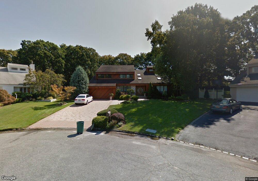
9 Presidential Dr S Plainview, NY 11803
Estimated Value: $1,949,000 - $2,173,809
--
Bed
4
Baths
3,977
Sq Ft
$518/Sq Ft
Est. Value
About This Home
This home is located at 9 Presidential Dr S, Plainview, NY 11803 and is currently estimated at $2,061,405, approximately $518 per square foot. 9 Presidential Dr S is a home located in Nassau County with nearby schools including H B Mattlin Middle School, Judy Jacobs Parkway Elementary School, and Plainview-Old Bethpage John F. Kennedy High School.
Ownership History
Date
Name
Owned For
Owner Type
Purchase Details
Closed on
Aug 4, 2022
Sold by
Musi Mark
Bought by
Cooperman Ira and Cooperman Shanna
Current Estimated Value
Home Financials for this Owner
Home Financials are based on the most recent Mortgage that was taken out on this home.
Original Mortgage
$1,350,000
Outstanding Balance
$1,292,591
Interest Rate
5.7%
Mortgage Type
New Conventional
Estimated Equity
$768,814
Purchase Details
Closed on
Jul 10, 2005
Sold by
Musi Mark
Purchase Details
Closed on
Dec 17, 1998
Sold by
Fede Anne
Bought by
Musi Mark and Musi Kim
Create a Home Valuation Report for This Property
The Home Valuation Report is an in-depth analysis detailing your home's value as well as a comparison with similar homes in the area
Home Values in the Area
Average Home Value in this Area
Purchase History
| Date | Buyer | Sale Price | Title Company |
|---|---|---|---|
| Cooperman Ira | $1,800,000 | Chicago Title Insurance Co | |
| Cooperman Ira | $1,800,000 | Chicago Title Insurance Co | |
| Cooperman Ira | $1,800,000 | Chicago Title Insurance Co | |
| -- | -- | -- | |
| -- | -- | -- | |
| Musi Mark | $682,500 | -- | |
| Musi Mark | $682,500 | -- |
Source: Public Records
Mortgage History
| Date | Status | Borrower | Loan Amount |
|---|---|---|---|
| Open | Cooperman Ira | $1,350,000 | |
| Closed | Cooperman Ira | $1,350,000 |
Source: Public Records
Tax History Compared to Growth
Tax History
| Year | Tax Paid | Tax Assessment Tax Assessment Total Assessment is a certain percentage of the fair market value that is determined by local assessors to be the total taxable value of land and additions on the property. | Land | Improvement |
|---|---|---|---|---|
| 2025 | $38,495 | $1,296 | $522 | $774 |
| 2024 | $11,616 | $1,309 | $527 | $782 |
| 2023 | $40,777 | $1,374 | $553 | $821 |
| 2022 | $40,777 | $1,374 | $553 | $821 |
| 2021 | $43,623 | $1,344 | $541 | $803 |
| 2020 | $15,903 | $2,399 | $1,024 | $1,375 |
| 2019 | $13,189 | $2,399 | $1,024 | $1,375 |
| 2018 | $26,890 | $2,399 | $0 | $0 |
| 2017 | $26,890 | $2,399 | $1,024 | $1,375 |
| 2016 | $38,834 | $2,399 | $1,024 | $1,375 |
| 2015 | $10,768 | $2,399 | $1,024 | $1,375 |
| 2014 | $10,768 | $2,399 | $1,024 | $1,375 |
| 2013 | $9,807 | $2,399 | $1,024 | $1,375 |
Source: Public Records
Map
Nearby Homes
- 15 Southwick Ct N
- 36 Southwick Ct S
- 17 Newport Dr
- 85 Roundtree Dr
- 8 Milford Ct
- 63 Ridge Dr
- 7 Ramsey Rd
- 4 Cranford Rd
- 31 Santa Barbara Dr
- 10 Linda Ln
- 6 Vegas Ct
- 85 Sagamore Dr
- 37 Santa Barbara Dr
- 30 Sagamore Dr
- 124 Santa Barbara Dr
- 93 Palo Alto Dr
- 17 Jody Ln
- 93 Carriage Ln Unit Avon Lower
- 67 Carriage Ln
- 64101 Red Cedar Rd
- 10 Presidential Dr S
- 7 Presidential Dr S
- 8 Presidential Dr S
- 5 Presidential Dr S
- 2 Presidential Dr E
- 6 Presidential Dr S
- 4 Presidential Dr E
- 4 Presidential Dr S
- 39 Kennedy Dr
- 1 Presidential Dr E
- 6 Presidential Dr E
- 1 Southwick Ct N
- 3 Presidential Dr E
- 2 Presidential Dr S
- 14 Southwick Ct N
- 35 Southwick Ct S
- 29 Kennedy Dr
- 8 Presidential Dr E
- 17 Ann Ct
- 5 Presidential Dr E