9 Puritan Dr Oak Bluffs, MA 02557
Oak Bluffs NeighborhoodEstimated Value: $1,834,000 - $2,479,000
4
Beds
4
Baths
2,791
Sq Ft
$742/Sq Ft
Est. Value
About This Home
This home is located at 9 Puritan Dr, Oak Bluffs, MA 02557 and is currently estimated at $2,069,989, approximately $741 per square foot. 9 Puritan Dr is a home with nearby schools including Oak Bluffs Elementary School and Martha's Vineyard Regional High School.
Ownership History
Date
Name
Owned For
Owner Type
Purchase Details
Closed on
Sep 20, 2023
Sold by
Ebeling Beth A and Butler Eric E
Bought by
Beth Ann Butler Lt and Butler
Current Estimated Value
Purchase Details
Closed on
Jun 11, 1999
Sold by
Messina Diego
Bought by
Ebeling Beth A
Create a Home Valuation Report for This Property
The Home Valuation Report is an in-depth analysis detailing your home's value as well as a comparison with similar homes in the area
Home Values in the Area
Average Home Value in this Area
Purchase History
| Date | Buyer | Sale Price | Title Company |
|---|---|---|---|
| Beth Ann Butler Lt | -- | None Available | |
| Ebeling Beth A | $85,000 | -- |
Source: Public Records
Mortgage History
| Date | Status | Borrower | Loan Amount |
|---|---|---|---|
| Previous Owner | Ebeling Beth A | $265,000 | |
| Previous Owner | Ebeling Beth A | $265,000 | |
| Previous Owner | Ebeling Beth A | $270,000 | |
| Previous Owner | Ebeling Beth A | $209,400 |
Source: Public Records
Tax History Compared to Growth
Tax History
| Year | Tax Paid | Tax Assessment Tax Assessment Total Assessment is a certain percentage of the fair market value that is determined by local assessors to be the total taxable value of land and additions on the property. | Land | Improvement |
|---|---|---|---|---|
| 2025 | $8,028 | $1,589,800 | $630,100 | $959,700 |
| 2024 | $8,034 | $1,536,100 | $572,600 | $963,500 |
| 2023 | $7,375 | $1,396,700 | $510,000 | $886,700 |
| 2022 | $6,994 | $1,030,000 | $366,700 | $663,300 |
| 2021 | $7,047 | $956,200 | $346,300 | $609,900 |
| 2020 | $2,356 | $895,500 | $329,800 | $565,700 |
| 2019 | $6,712 | $872,800 | $318,200 | $554,600 |
| 2018 | $2,692 | $830,900 | $275,800 | $555,100 |
| 2017 | $6,079 | $745,900 | $261,400 | $484,500 |
| 2016 | $5,447 | $671,700 | $269,500 | $402,200 |
| 2015 | $5,108 | $641,700 | $270,400 | $371,300 |
| 2014 | $4,920 | $630,000 | $257,800 | $372,200 |
Source: Public Records
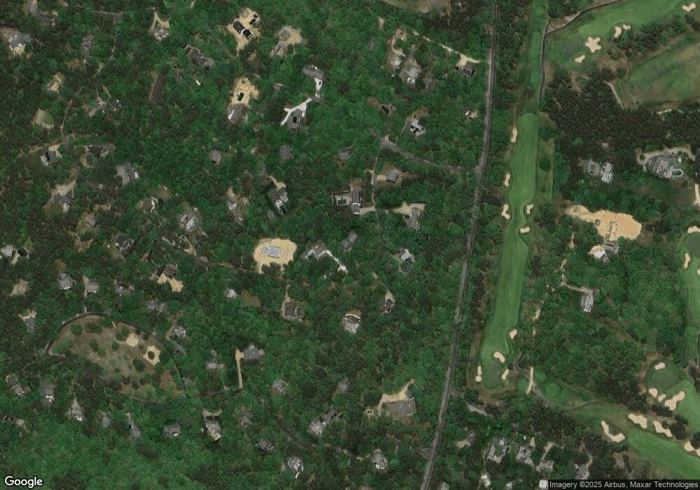
Map
Nearby Homes
- 7 Upper Meadow Ln
- 2 Hope's Way Unit 31
- 2 Hope's Way
- 63 Bayes Hill Rd
- 7 S Meadow Ln
- 7 Overview Ln Unit 47
- 7 Overview Ln
- 37 Double Ox Rd
- 4 High Meadow Ln
- 35 Double Ox Rd
- 35 Double Ox Rd Unit 42
- 0 Pennsylvania Ave Unit 43914
- 8 Paddock Rd
- 96 Manchester Ave
- 5 Bayes Hill Cir
- 28 Barling Ave
- 22 Paddock Rd Unit 85
- 1 Jessie Leigh Mitchell Way
- 69 Summit Ave
- 72 Washington Ave