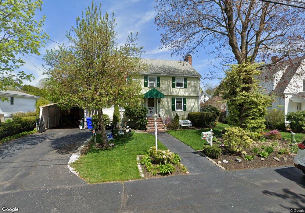
9 Randall Rd Maynard, MA 01754
Estimated Value: $616,000 - $693,000
3
Beds
2
Baths
1,828
Sq Ft
$355/Sq Ft
Est. Value
About This Home
This home is located at 9 Randall Rd, Maynard, MA 01754 and is currently estimated at $648,230, approximately $354 per square foot. 9 Randall Rd is a home located in Middlesex County with nearby schools including Green Meadow School, Fowler School, and Maynard High School.
Create a Home Valuation Report for This Property
The Home Valuation Report is an in-depth analysis detailing your home's value as well as a comparison with similar homes in the area
Home Values in the Area
Average Home Value in this Area
Tax History
| Year | Tax Paid | Tax Assessment Tax Assessment Total Assessment is a certain percentage of the fair market value that is determined by local assessors to be the total taxable value of land and additions on the property. | Land | Improvement |
|---|---|---|---|---|
| 2025 | $9,659 | $541,700 | $272,800 | $268,900 |
| 2024 | $9,035 | $505,300 | $259,800 | $245,500 |
| 2023 | $8,988 | $473,800 | $247,400 | $226,400 |
| 2022 | $8,910 | $434,200 | $207,800 | $226,400 |
| 2021 | $8,693 | $431,400 | $207,800 | $223,600 |
| 2020 | $8,495 | $411,600 | $188,000 | $223,600 |
| 2019 | $8,124 | $386,100 | $179,600 | $206,500 |
| 2018 | $8,576 | $336,700 | $163,300 | $173,400 |
| 2017 | $7,510 | $341,200 | $163,300 | $177,900 |
| 2016 | $7,251 | $341,200 | $163,300 | $177,900 |
| 2015 | $7,173 | $321,500 | $155,900 | $165,600 |
| 2014 | $7,055 | $316,500 | $150,900 | $165,600 |
Source: Public Records
Map
Nearby Homes
- 12 Brown St
- 36 Brown St
- 153 Summer St
- 10 Mill St Unit B
- 22 Douglas Ave Unit 2
- 22 Douglas Ave Unit 1
- 38 Fairfield St
- 66 Powder Mill Rd
- 68 Powder Mill Rd
- 13 Arthur St Unit 15
- 70 Powder Mill Rd
- 63 Conant St
- 5 Hayes St Unit 5
- 31-33 Roosevelt St
- 41 Taylor Rd
- 23 Deer Path Unit 5
- 40 High St
- 30 Brewster Ln
- 1 Drummer Rd Unit A5
- 96 Forest Ridge Rd Unit 96
Your Personal Tour Guide
Ask me questions while you tour the home.