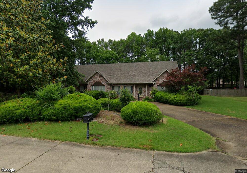
9 Red Fox Ln Jacksonville, AR 72076
Estimated Value: $390,000 - $551,000
Studio
3
Baths
3,665
Sq Ft
$119/Sq Ft
Est. Value
About This Home
This home is located at 9 Red Fox Ln, Jacksonville, AR 72076 and is currently estimated at $436,361, approximately $119 per square foot. 9 Red Fox Ln is a home located in Pulaski County with nearby schools including Jacksonville Elementary School, Jacksonville Middle School, and Jacksonville High School.
Ownership History
Date
Name
Owned For
Owner Type
Purchase Details
Closed on
Oct 25, 2015
Sold by
Long Matthew A and Long Mayola M
Bought by
Long Matthew A and Long Mayola M
Current Estimated Value
Purchase Details
Closed on
Oct 25, 2004
Sold by
Kennedy John A and Kennedy Helen
Bought by
Long Matthew A and Long Mayola M
Home Financials for this Owner
Home Financials are based on the most recent Mortgage that was taken out on this home.
Original Mortgage
$258,400
Outstanding Balance
$127,629
Interest Rate
5.73%
Mortgage Type
Purchase Money Mortgage
Estimated Equity
$308,732
Create a Home Valuation Report for This Property
The Home Valuation Report is an in-depth analysis detailing your home's value as well as a comparison with similar homes in the area
Home Values in the Area
Average Home Value in this Area
Purchase History
| Date | Buyer | Sale Price | Title Company |
|---|---|---|---|
| Long Matthew A | -- | Attorney | |
| Long Matthew A | $323,000 | Stewart Title Of Arkansas |
Source: Public Records
Mortgage History
| Date | Status | Borrower | Loan Amount |
|---|---|---|---|
| Open | Long Matthew A | $258,400 |
Source: Public Records
Tax History
| Year | Tax Paid | Tax Assessment Tax Assessment Total Assessment is a certain percentage of the fair market value that is determined by local assessors to be the total taxable value of land and additions on the property. | Land | Improvement |
|---|---|---|---|---|
| 2025 | $3,967 | $64,607 | $8,600 | $56,007 |
| 2024 | $3,237 | $64,607 | $8,600 | $56,007 |
| 2023 | $3,237 | $64,607 | $8,600 | $56,007 |
| 2022 | $3,386 | $64,607 | $8,600 | $56,007 |
| 2021 | $3,079 | $50,140 | $6,400 | $43,740 |
| 2020 | $3,079 | $50,140 | $6,400 | $43,740 |
| 2019 | $3,079 | $50,140 | $6,400 | $43,740 |
| 2018 | $3,079 | $50,140 | $6,400 | $43,740 |
| 2017 | $2,698 | $50,140 | $6,400 | $43,740 |
| 2016 | $2,531 | $47,040 | $1,200 | $45,840 |
| 2015 | $2,531 | $47,040 | $1,200 | $45,840 |
| 2014 | $2,531 | $47,040 | $1,200 | $45,840 |
Source: Public Records
Map
Nearby Homes
- 24 Woodland Dr
- 10 Woodland Dr
- 32 Woodland Ct
- 1 Woodland Dr
- 3005 T P White Dr
- 7824 T P White Dr
- 100 Foxwood Dr
- 2800 Gray Fox Ln
- 104 Foxdell Cir
- 104 Quapaw Place
- 000 T P White Dr
- 602 Foxwood Dr
- 1 Club Ct
- 1033 Ferrell Dr
- 1011 Ferrell Dr
- 108 Dale Dr
- 908 Quince Hill Rd
- 106 Foxrun Cove
- 1909 Madden Rd
- 104 Dale Dr
Your Personal Tour Guide
Ask me questions while you tour the home.