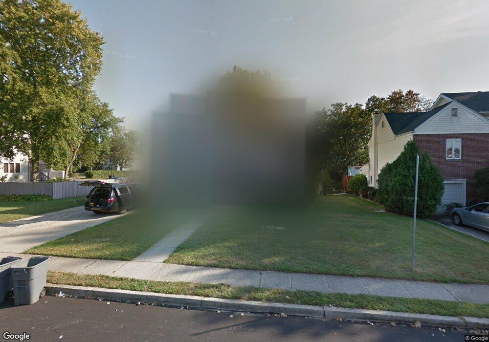
9 Reid St Long Branch, NJ 07740
Estimated Value: $1,155,000 - $1,493,000
5
Beds
4
Baths
2,438
Sq Ft
$545/Sq Ft
Est. Value
About This Home
This home is located at 9 Reid St, Long Branch, NJ 07740 and is currently estimated at $1,327,697, approximately $544 per square foot. 9 Reid St is a home with nearby schools including Long Branch High School, Bet Yaakov of the Jersey Shore, and Holy Trinity School.
Ownership History
Date
Name
Owned For
Owner Type
Purchase Details
Closed on
Jul 5, 2022
Sold by
Nahem Yitzhak N and Nahem Batya
Bought by
Mizrahi Morris
Current Estimated Value
Purchase Details
Closed on
Mar 22, 2021
Sold by
Nahem David M and Douek Mazal
Bought by
Nahem Yitzhak N
Home Financials for this Owner
Home Financials are based on the most recent Mortgage that was taken out on this home.
Original Mortgage
$400,000
Interest Rate
2.8%
Mortgage Type
New Conventional
Purchase Details
Closed on
Dec 21, 2020
Sold by
Sharre Ezra Congregation Inc
Bought by
Nahem David M
Purchase Details
Closed on
Sep 16, 2016
Sold by
Sephardic Torah Center
Bought by
Shaare Ezra Congregation Inc
Create a Home Valuation Report for This Property
The Home Valuation Report is an in-depth analysis detailing your home's value as well as a comparison with similar homes in the area
Home Values in the Area
Average Home Value in this Area
Purchase History
| Date | Buyer | Sale Price | Title Company |
|---|---|---|---|
| Mizrahi Morris | $500,000 | American Land Title | |
| Mizrahi Morris | $500,000 | American Land Title | |
| Nahem Yitzhak N | $500,000 | Riverside Abstract Llc | |
| Nahem David M | -- | Riverside Abstract Llc | |
| Nahem David M | -- | Old Republic Title | |
| Shaare Ezra Congregation Inc | -- | None Available |
Source: Public Records
Mortgage History
| Date | Status | Borrower | Loan Amount |
|---|---|---|---|
| Previous Owner | Nahem Yitzhak N | $400,000 |
Source: Public Records
Tax History Compared to Growth
Tax History
| Year | Tax Paid | Tax Assessment Tax Assessment Total Assessment is a certain percentage of the fair market value that is determined by local assessors to be the total taxable value of land and additions on the property. | Land | Improvement |
|---|---|---|---|---|
| 2025 | $15,050 | $1,305,000 | $845,400 | $459,600 |
| 2024 | $14,353 | $979,200 | $539,500 | $439,700 |
| 2023 | $14,353 | $924,200 | $504,500 | $419,700 |
| 2022 | $12,890 | $723,800 | $354,100 | $369,700 |
| 2021 | $10,360 | $644,200 | $294,100 | $350,100 |
| 2020 | $10,360 | $601,500 | $249,100 | $352,400 |
| 2019 | $0 | $529,300 | $189,100 | $340,200 |
| 2018 | $0 | $514,800 | $179,100 | $335,700 |
| 2017 | $0 | $505,400 | $172,100 | $333,300 |
| 2016 | $10,360 | $512,600 | $184,100 | $328,500 |
| 2015 | -- | $454,400 | $122,100 | $332,300 |
| 2014 | -- | $483,000 | $171,100 | $311,900 |
Source: Public Records
Map
Nearby Homes
- 3 Reid St
- 211 Cedar Ave
- 65 Cedar Ave Unit C11
- 266 Lenox Ave
- 68 Cedar Ave
- 735 Greens Ave Unit 18A
- 45 Cedar Ave
- 316 Oakley Ave
- 720 Ocean Ave Unit 8
- 329 Yorke Ave
- 595 Woodgate Ave
- 717 Ocean Ave Unit 705
- 717 Ocean Ave Unit 512
- 890 Woodgate Ave
- 280 Cummings Ave
- 807 Ocean Ave
- 251 Highland Ave
- 245 Brighton Ave
- 1 Clarence Ave
- 787 Ocean Ave Unit 1712