9 Riverside Dr New Cumberland, WV 26047
Estimated Value: $383,000
--
Bed
1
Bath
1,800
Sq Ft
$213/Sq Ft
Est. Value
About This Home
This home is located at 9 Riverside Dr, New Cumberland, WV 26047 and is currently priced at $383,000, approximately $212 per square foot. 9 Riverside Dr is a home located in Hancock County with nearby schools including St. Paul School.
Ownership History
Date
Name
Owned For
Owner Type
Purchase Details
Closed on
Nov 28, 2024
Sold by
Farnsworth Natalie R and Warner Zackary A
Bought by
Nagy Rudy S and Nagy Alexandra G
Current Estimated Value
Purchase Details
Closed on
Sep 7, 2021
Sold by
Arneault Edson R
Bought by
Warner Zackary A and Warner Natalie R
Home Financials for this Owner
Home Financials are based on the most recent Mortgage that was taken out on this home.
Original Mortgage
$329,000
Interest Rate
2.8%
Mortgage Type
New Conventional
Purchase Details
Closed on
Aug 12, 2021
Sold by
Arneault Edson R
Bought by
Kline Richard Paul and Kline Deborah A
Home Financials for this Owner
Home Financials are based on the most recent Mortgage that was taken out on this home.
Original Mortgage
$329,000
Interest Rate
2.8%
Mortgage Type
New Conventional
Create a Home Valuation Report for This Property
The Home Valuation Report is an in-depth analysis detailing your home's value as well as a comparison with similar homes in the area
Home Values in the Area
Average Home Value in this Area
Purchase History
| Date | Buyer | Sale Price | Title Company |
|---|---|---|---|
| Nagy Rudy S | -- | None Listed On Document | |
| Warner Zackary A | $27,000 | None Available | |
| Kline Richard Paul | $24,000 | None Available |
Source: Public Records
Mortgage History
| Date | Status | Borrower | Loan Amount |
|---|---|---|---|
| Previous Owner | Warner Zackary A | $329,000 | |
| Previous Owner | Kline Richard Paul | $439,232 |
Source: Public Records
Tax History Compared to Growth
Tax History
| Year | Tax Paid | Tax Assessment Tax Assessment Total Assessment is a certain percentage of the fair market value that is determined by local assessors to be the total taxable value of land and additions on the property. | Land | Improvement |
|---|---|---|---|---|
| 2024 | $2,711 | $189,750 | $153,870 | $35,880 |
| 2023 | $2,421 | $189,750 | $153,870 | $35,880 |
| 2022 | $2,546 | $196,230 | $159,930 | $36,300 |
| 2021 | $2,549 | $195,800 | $159,980 | $35,820 |
| 2020 | $2,526 | $194,810 | $160,010 | $34,800 |
| 2019 | $2,579 | $196,000 | $161,740 | $34,260 |
| 2018 | $2,583 | $195,400 | $161,740 | $33,660 |
| 2017 | $2,736 | $204,840 | $172,080 | $32,760 |
| 2016 | $2,736 | $204,060 | $170,940 | $33,120 |
| 2015 | $2,726 | $203,380 | $169,980 | $33,400 |
| 2014 | $2,726 | $202,510 | $169,980 | $32,530 |
Source: Public Records
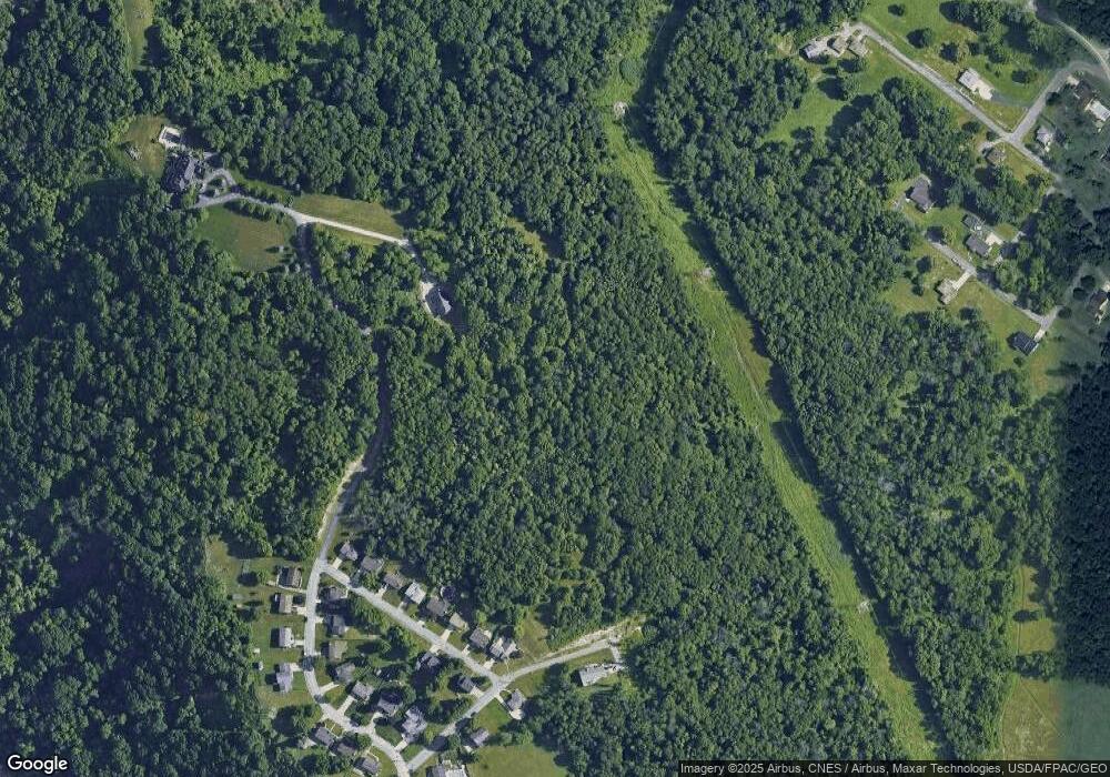
Map
Nearby Homes
- 1 Riverside Dr
- VL Eagle Mountain Estate
- 843 Rainey Hill Rd
- 0 Wylie Ridge Rd Unit 5134114
- 0 Ohio River Blvd Unit 5057024
- 1206 S River Ave
- 141 Cleveland Rd
- 608 Logan Ave
- 0 Kings Creek Rd Unit 5153364
- 713 Trenton St
- TBD Alta St
- 1384 Kings Creek Rd
- 128 Alta St
- 711 Euclid Ave
- 154 Alta St
- 0 Laura Ln Unit 5153409
- 214 Basil Dr
- 620 Mara Ln
- 618 Mara Ln
- 206 N 3rd St