Estimated Value: $642,000 - $786,860
Studio
--
Bath
1,890
Sq Ft
$377/Sq Ft
Est. Value
About This Home
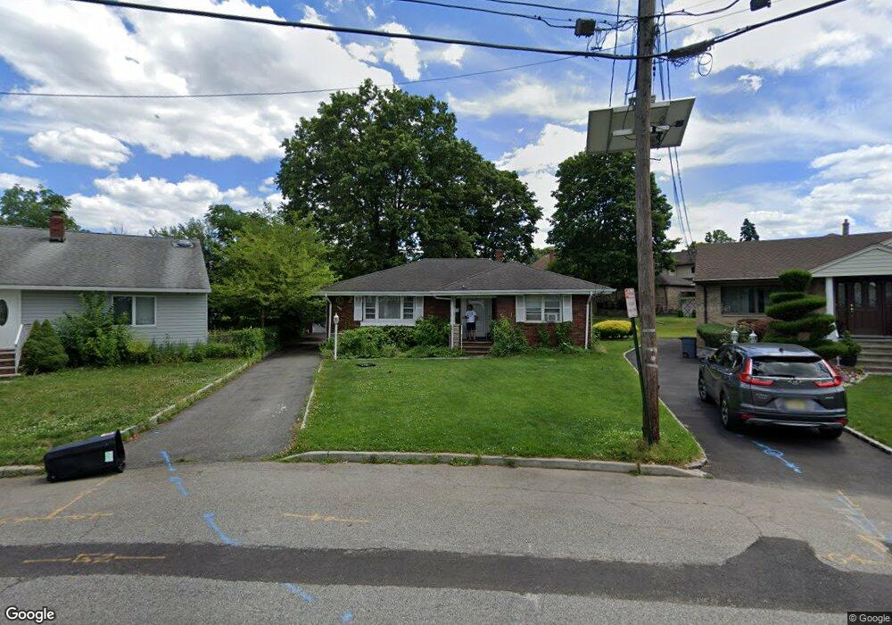
This home is located at 9 Robert Ct, Lodi, NJ 07644 and is currently estimated at $711,965, approximately $376 per square foot. 9 Robert Ct is a home located in Bergen County with nearby schools including Wilson Elementary School, Thomas Jefferson Middle School, and Lodi High School.
Ownership History
Date
Name
Owned For
Owner Type
Purchase Details
Closed on
Dec 14, 2016
Sold by
Bochynski Theodore and Bochynski Rosalind
Bought by
Mustafokulov Shoista and Mustafokulov Erkin
Current Estimated Value
Home Financials for this Owner
Home Financials are based on the most recent Mortgage that was taken out on this home.
Original Mortgage
$258,750
Outstanding Balance
$212,158
Interest Rate
4.03%
Mortgage Type
New Conventional
Estimated Equity
$499,807
Purchase Details
Closed on
May 26, 1983
Bought by
Bochynski Theodore and Bochynski Rosalind
Create a Home Valuation Report for This Property
The Home Valuation Report is an in-depth analysis detailing your home's value as well as a comparison with similar homes in the area
Home Values in the Area
Average Home Value in this Area
Purchase History
| Date | Buyer | Sale Price | Title Company |
|---|---|---|---|
| Mustafokulov Shoista | $345,000 | Title Resources Guaranty | |
| Bochynski Theodore | $131,000 | -- |
Source: Public Records
Mortgage History
| Date | Status | Borrower | Loan Amount |
|---|---|---|---|
| Open | Mustafokulov Shoista | $258,750 |
Source: Public Records
Tax History
| Year | Tax Paid | Tax Assessment Tax Assessment Total Assessment is a certain percentage of the fair market value that is determined by local assessors to be the total taxable value of land and additions on the property. | Land | Improvement |
|---|---|---|---|---|
| 2025 | $13,160 | $392,600 | $201,500 | $191,100 |
| 2024 | $12,862 | $392,600 | $201,500 | $191,100 |
| 2023 | $12,814 | $392,600 | $201,500 | $191,100 |
| 2022 | $12,814 | $392,600 | $201,500 | $191,100 |
| 2021 | $12,720 | $392,600 | $201,500 | $191,100 |
| 2020 | $12,897 | $392,600 | $201,500 | $191,100 |
| 2019 | $12,720 | $392,600 | $201,500 | $191,100 |
| 2018 | $12,744 | $392,600 | $201,500 | $191,100 |
| 2017 | $12,728 | $392,600 | $201,500 | $191,100 |
| 2016 | $12,728 | $392,600 | $201,500 | $191,100 |
| 2015 | $12,575 | $392,600 | $201,500 | $191,100 |
| 2014 | $12,536 | $392,600 | $201,500 | $191,100 |
Source: Public Records
Map
Nearby Homes
- 460 Boulevard
- 252 Church St
- 102 Charlton Ave
- 175 Union St
- 229 Baldwin Ave
- 225 Albert St
- 309 Ottawa Ave
- 8800 Boulevard Unit 4B
- 117 Central Ave
- 15 2nd St
- 140 Prospect St
- 212 Burton Ave
- 131 Elm St
- 74 Kipp Ave
- 63 Washington St
- 279 Clark St Unit A-7
- 61 Spring St
- 163 Grove St
- 14 Jefferson Ave Unit 16
- 35 Autumn St
Your Personal Tour Guide
Ask me questions while you tour the home.