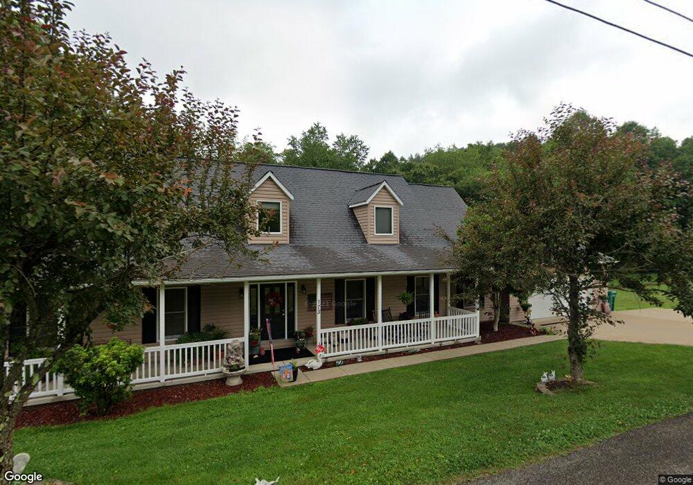
9 Robin Ln Mount Clare, WV 26408
Estimated Value: $335,000 - $436,356
3
Beds
3
Baths
2,996
Sq Ft
$135/Sq Ft
Est. Value
About This Home
This home is located at 9 Robin Ln, Mount Clare, WV 26408 and is currently estimated at $405,839, approximately $135 per square foot. 9 Robin Ln is a home located in Harrison County.
Create a Home Valuation Report for This Property
The Home Valuation Report is an in-depth analysis detailing your home's value as well as a comparison with similar homes in the area
Tax History
| Year | Tax Paid | Tax Assessment Tax Assessment Total Assessment is a certain percentage of the fair market value that is determined by local assessors to be the total taxable value of land and additions on the property. | Land | Improvement |
|---|---|---|---|---|
| 2025 | $2,135 | $203,280 | $28,920 | $174,360 |
| 2024 | $2,135 | $190,020 | $28,920 | $161,100 |
| 2023 | $1,950 | $176,760 | $28,920 | $147,840 |
| 2022 | $2,067 | $175,440 | $28,920 | $146,520 |
| 2021 | $2,020 | $173,460 | $28,920 | $144,540 |
| 2020 | $1,978 | $171,480 | $28,920 | $142,560 |
| 2019 | $1,970 | $170,760 | $28,920 | $141,840 |
| 2018 | $1,864 | $162,360 | $28,920 | $133,440 |
| 2017 | $1,827 | $159,840 | $28,920 | $130,920 |
| 2016 | $1,764 | $156,240 | $27,840 | $128,400 |
| 2015 | $1,706 | $150,240 | $25,020 | $125,220 |
| 2014 | $1,622 | $143,040 | $19,740 | $123,300 |
Source: Public Records
Map
Nearby Homes
Your Personal Tour Guide
Ask me questions while you tour the home.