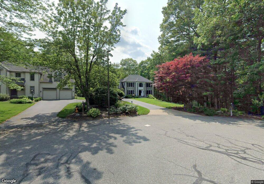
9 Robin Ln North Easton, MA 02356
Estimated Value: $945,000 - $1,211,000
4
Beds
3
Baths
2,641
Sq Ft
$392/Sq Ft
Est. Value
About This Home
This home is located at 9 Robin Ln, North Easton, MA 02356 and is currently estimated at $1,036,404, approximately $392 per square foot. 9 Robin Ln is a home located in Bristol County with nearby schools including Easton Middle School.
Ownership History
Date
Name
Owned For
Owner Type
Purchase Details
Closed on
Apr 24, 2012
Sold by
Pond Jill
Bought by
Damplo Paul A and Damplo Lauren M
Current Estimated Value
Purchase Details
Closed on
Jan 5, 2012
Sold by
Roche Kevin M and Roche Karen F
Bought by
Kevin M Roche Lt
Create a Home Valuation Report for This Property
The Home Valuation Report is an in-depth analysis detailing your home's value as well as a comparison with similar homes in the area
Home Values in the Area
Average Home Value in this Area
Purchase History
| Date | Buyer | Sale Price | Title Company |
|---|---|---|---|
| Damplo Paul A | $497,500 | -- | |
| Damplo Paul A | $497,500 | -- | |
| Kevin M Roche Lt | -- | -- | |
| Kevin M Roche Lt | -- | -- |
Source: Public Records
Mortgage History
| Date | Status | Borrower | Loan Amount |
|---|---|---|---|
| Previous Owner | Kevin M Roche Lt | $131,000 | |
| Previous Owner | Kevin M Roche Lt | $187,600 | |
| Previous Owner | Kevin M Roche Lt | $194,000 |
Source: Public Records
Tax History Compared to Growth
Tax History
| Year | Tax Paid | Tax Assessment Tax Assessment Total Assessment is a certain percentage of the fair market value that is determined by local assessors to be the total taxable value of land and additions on the property. | Land | Improvement |
|---|---|---|---|---|
| 2025 | $10,614 | $850,500 | $407,500 | $443,000 |
| 2024 | $9,932 | $744,000 | $314,600 | $429,400 |
| 2023 | $9,430 | $646,300 | $306,300 | $340,000 |
| 2022 | $9,214 | $598,700 | $271,100 | $327,600 |
| 2021 | $9,065 | $585,600 | $258,000 | $327,600 |
| 2020 | $8,791 | $571,600 | $253,200 | $318,400 |
| 2019 | $8,529 | $534,400 | $231,100 | $303,300 |
| 2018 | $8,358 | $515,600 | $231,100 | $284,500 |
| 2017 | $8,060 | $496,900 | $231,100 | $265,800 |
| 2016 | $7,842 | $484,400 | $231,100 | $253,300 |
| 2015 | $7,551 | $450,000 | $196,700 | $253,300 |
| 2014 | $7,439 | $446,800 | $196,700 | $250,100 |
Source: Public Records
Map
Nearby Homes
- Lot 8 Cooper Ln
- 14 Marshall Rd
- 96 Winterberry Ln
- 86 Union St
- 110 Union St
- Lot 1 Winterberry Ln
- Lot 2 Winterberry Ln
- LOT 4 Winterberry Ln
- 15 King Ave
- 12 Holmes St
- 95 Union St
- 280 Washington St
- 175 N Main St
- 334-336 Main St
- 224 Main St
- 98 Union St
- 225 Main St
- 8 Hobart Way
- 93 Palisades Cir
- 11 Olde Stable Ln
- 10 Robin Ln
- 5 Robin Ln
- 6 Robin Ln
- 2 Christina Dr
- 0 Robin Lane Lot 7 Unit 50353312
- 0 Robin Lane L-7 Unit 50359866
- 2 Robin Ln
- 6 Christina Dr
- 10 Harvestwood Ln
- 15 Stonemoor Dr
- 11 Stonemoor Dr
- 9 Woodledge Ln
- 3 Christina Dr
- 7 Christina Dr
- 6 Harvestwood Ln
- 6 Woodledge Ln
- 6 Woodledge Ln Unit 1
- 14 Christina Dr
- 9 Harvestwood Ln
- 5 Woodledge Ln