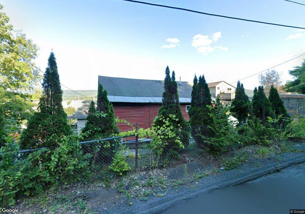
9 Robinson St North Adams, MA 01247
Estimated Value: $184,000 - $270,000
4
Beds
2
Baths
1,652
Sq Ft
$126/Sq Ft
Est. Value
About This Home
This home is located at 9 Robinson St, North Adams, MA 01247 and is currently estimated at $208,069, approximately $125 per square foot. 9 Robinson St is a home located in Berkshire County with nearby schools including Brayton Elementary School and Drury High School.
Ownership History
Date
Name
Owned For
Owner Type
Purchase Details
Closed on
Mar 24, 2016
Sold by
Bank New York Mellon T
Bought by
Lewis James
Current Estimated Value
Purchase Details
Closed on
Mar 11, 2016
Sold by
Walden Mark E and Bank New York Mellon T
Bought by
Bank New York Mellon T
Purchase Details
Closed on
Apr 28, 2005
Sold by
Haner Kimberly A
Bought by
Walden Mark E and Houghtling Jessica A
Home Financials for this Owner
Home Financials are based on the most recent Mortgage that was taken out on this home.
Original Mortgage
$78,500
Interest Rate
5.95%
Mortgage Type
Purchase Money Mortgage
Purchase Details
Closed on
May 3, 1996
Sold by
Coastal Area Re Inc
Bought by
Sumner Kim A and Darling Michelle M
Home Financials for this Owner
Home Financials are based on the most recent Mortgage that was taken out on this home.
Original Mortgage
$42,178
Interest Rate
7.82%
Mortgage Type
Purchase Money Mortgage
Purchase Details
Closed on
Sep 29, 1995
Sold by
Department Of Housing & Urban Dev
Bought by
Coastal Area Re Inc
Purchase Details
Closed on
Feb 5, 1992
Sold by
Digrenier Catherine E
Bought by
Sec Housing Urban Dev
Purchase Details
Closed on
Jun 1, 1989
Sold by
Torrey Bruce M
Bought by
Degrenier Catherine E
Create a Home Valuation Report for This Property
The Home Valuation Report is an in-depth analysis detailing your home's value as well as a comparison with similar homes in the area
Home Values in the Area
Average Home Value in this Area
Purchase History
| Date | Buyer | Sale Price | Title Company |
|---|---|---|---|
| Lewis James | $12,924 | -- | |
| Bank New York Mellon T | $68,500 | -- | |
| Walden Mark E | $78,750 | -- | |
| Sumner Kim A | $41,800 | -- | |
| Coastal Area Re Inc | $7,000 | -- | |
| Sec Housing Urban Dev | $72,383 | -- | |
| Degrenier Catherine E | $62,900 | -- | |
| Bank New York Mellon T | $68,500 | -- | |
| Walden Mark E | $78,750 | -- | |
| Sumner Kim A | $41,800 | -- | |
| Coastal Area Re Inc | $7,000 | -- | |
| Sec Housing Urban Dev | $72,383 | -- | |
| Degrenier Catherine E | $62,900 | -- |
Source: Public Records
Mortgage History
| Date | Status | Borrower | Loan Amount |
|---|---|---|---|
| Previous Owner | Walden Mark E | $78,500 | |
| Previous Owner | Degrenier Catherine E | $42,178 |
Source: Public Records
Tax History Compared to Growth
Tax History
| Year | Tax Paid | Tax Assessment Tax Assessment Total Assessment is a certain percentage of the fair market value that is determined by local assessors to be the total taxable value of land and additions on the property. | Land | Improvement |
|---|---|---|---|---|
| 2025 | $2,284 | $136,700 | $22,500 | $114,200 |
| 2024 | $2,144 | $125,100 | $20,600 | $104,500 |
| 2023 | $2,242 | $126,900 | $20,600 | $106,300 |
| 2022 | $2,023 | $109,200 | $20,600 | $88,600 |
| 2021 | $1,880 | $101,000 | $19,100 | $81,900 |
| 2020 | $3,816 | $100,500 | $20,200 | $80,300 |
| 2019 | $3,758 | $96,900 | $20,200 | $76,700 |
| 2018 | $1,715 | $96,500 | $21,300 | $75,200 |
| 2017 | $1,687 | $95,500 | $21,000 | $74,500 |
| 2016 | $1,635 | $94,000 | $21,000 | $73,000 |
| 2015 | $1,594 | $95,500 | $21,700 | $73,800 |
Source: Public Records
Map
Nearby Homes
- 85 Furnace St
- 16 Forrest St
- 0 Whitman St
- 5 Whitman St
- 84 W Main St
- 86 W Main St
- 152 Furnace St
- 0 River St
- 0 Church St
- 19 N Church St Unit 11
- 19 N Church St Unit 14
- 19 N Church St Unit 12
- 19 N Church St Unit 7
- 166 Houghton St
- 297 Walnut St
- 194 E Main St
- 32-38 Spring St
- 62-64 Chase Ave
- 66-68 Bracewell Ave
- 336 Walnut St