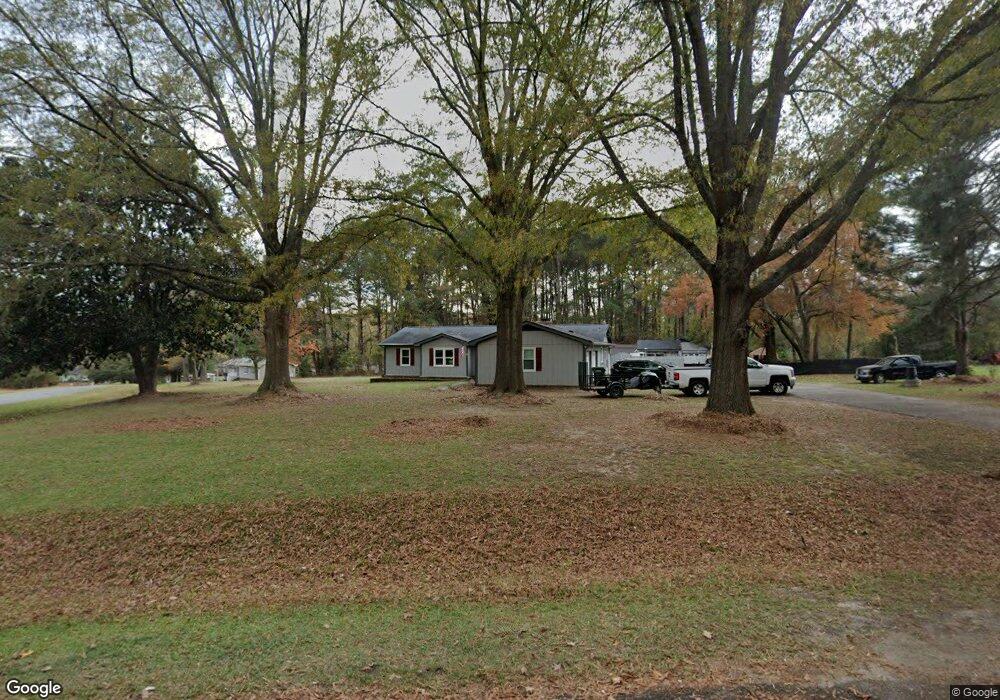
9 Rocky Branch Rd Clayton, NC 27520
Estimated Value: $360,000 - $418,000
3
Beds
2
Baths
1,679
Sq Ft
$233/Sq Ft
Est. Value
About This Home
This home is located at 9 Rocky Branch Rd, Clayton, NC 27520 and is currently estimated at $391,326, approximately $233 per square foot. 9 Rocky Branch Rd is a home located in Johnston County with nearby schools including West Clayton Elementary School, Clayton Middle School, and Clayton High.
Ownership History
Date
Name
Owned For
Owner Type
Purchase Details
Closed on
Jul 28, 2015
Sold by
Howington Jimmy Earl
Bought by
Mcneese Terence P and Mcneese Lyn M
Current Estimated Value
Home Financials for this Owner
Home Financials are based on the most recent Mortgage that was taken out on this home.
Original Mortgage
$193,171
Outstanding Balance
$152,186
Interest Rate
4.08%
Mortgage Type
VA
Estimated Equity
$239,140
Create a Home Valuation Report for This Property
The Home Valuation Report is an in-depth analysis detailing your home's value as well as a comparison with similar homes in the area
Home Values in the Area
Average Home Value in this Area
Purchase History
| Date | Buyer | Sale Price | Title Company |
|---|---|---|---|
| Mcneese Terence P | $187,000 | None Available |
Source: Public Records
Mortgage History
| Date | Status | Borrower | Loan Amount |
|---|---|---|---|
| Open | Mcneese Terence P | $193,171 |
Source: Public Records
Tax History Compared to Growth
Tax History
| Year | Tax Paid | Tax Assessment Tax Assessment Total Assessment is a certain percentage of the fair market value that is determined by local assessors to be the total taxable value of land and additions on the property. | Land | Improvement |
|---|---|---|---|---|
| 2025 | $2,469 | $388,750 | $132,770 | $255,980 |
| 2024 | $1,847 | $227,990 | $63,730 | $164,260 |
| 2023 | $1,915 | $227,990 | $63,730 | $164,260 |
| 2022 | $1,932 | $227,990 | $63,730 | $164,260 |
| 2021 | $1,932 | $227,990 | $63,730 | $164,260 |
| 2020 | $2,001 | $227,990 | $63,730 | $164,260 |
| 2019 | $2,001 | $227,990 | $63,730 | $164,260 |
| 2018 | $1,597 | $177,920 | $47,800 | $130,120 |
| 2017 | $1,570 | $174,930 | $47,800 | $127,130 |
| 2016 | $1,535 | $174,930 | $47,800 | $127,130 |
| 2015 | $1,535 | $174,930 | $47,800 | $127,130 |
| 2014 | $1,535 | $174,930 | $47,800 | $127,130 |
Source: Public Records
Map
Nearby Homes
- 2001 Mckinnon Dr
- 112 Kelly Ln
- 2008 Mckinnon Dr
- 1261 Grovewood Dr
- 1268 Grovewood Dr
- 200 Hunter Way
- 1029 Cove Cir
- 2857 Bennington Dr
- 1212 Woodbriar St
- 316 Waterford Dr
- 128 Glengariff Ln
- 37 W Cannalily Ln
- 200 Waterford Dr
- 265 Stone Valley Ln
- 212 Wexford Dr
- 507 Westminster Dr
- 25 W Fire Opal Ct
- 141 & 145 State Ave
- 128 Plymouth Dr
- 737 Lakemont Dr
- 10 Rocky Branch Rd
- 10 Rocky Branch Dr
- 1 Cabin Branch Rd
- 8 Cabin Branch Rd
- 11 Rocky Branch Rd
- 2 Cabin Branch Rd
- 7 Cabin Branch Rd
- 14 Rocky Branch Rd
- 13 Rocky Branch Rd
- 12 Rocky Branch Rd
- 12 Rocky Branch Dr
- 3 Cabin Branch Rd
- 20 Rocky Branch Rd
- 420 Hunter Way
- 6 Cabin Branch Rd
- 1157 Grovewood Dr
- 1161 Grovewood Dr
- 1153 Grovewood Dr
- 1165 Grovewood Dr
- 412 Hunter Way