Estimated Value: $754,663 - $879,000
3
Beds
--
Bath
2,280
Sq Ft
$362/Sq Ft
Est. Value
About This Home
This home is located at 9 Rogue Dr, Westport, MA 02790 and is currently estimated at $826,416, approximately $362 per square foot. 9 Rogue Dr is a home located in Bristol County with nearby schools including Alice A. Macomber Primary School, Westport Elementary School, and Westport Middle-High School.
Ownership History
Date
Name
Owned For
Owner Type
Purchase Details
Closed on
Jul 13, 2001
Sold by
190 Cw T
Bought by
Perry Christophe J and Perry Deborah A
Current Estimated Value
Home Financials for this Owner
Home Financials are based on the most recent Mortgage that was taken out on this home.
Original Mortgage
$250,000
Interest Rate
7.2%
Mortgage Type
Purchase Money Mortgage
Create a Home Valuation Report for This Property
The Home Valuation Report is an in-depth analysis detailing your home's value as well as a comparison with similar homes in the area
Home Values in the Area
Average Home Value in this Area
Purchase History
| Date | Buyer | Sale Price | Title Company |
|---|---|---|---|
| Perry Christophe J | $65,000 | -- |
Source: Public Records
Mortgage History
| Date | Status | Borrower | Loan Amount |
|---|---|---|---|
| Open | Perry Christophe J | $251,875 | |
| Closed | Perry Christophe J | $275,000 | |
| Closed | Perry Christophe J | $250,000 |
Source: Public Records
Tax History Compared to Growth
Tax History
| Year | Tax Paid | Tax Assessment Tax Assessment Total Assessment is a certain percentage of the fair market value that is determined by local assessors to be the total taxable value of land and additions on the property. | Land | Improvement |
|---|---|---|---|---|
| 2025 | $4,832 | $648,600 | $274,100 | $374,500 |
| 2024 | $4,799 | $620,800 | $254,600 | $366,200 |
| 2023 | $4,699 | $575,800 | $228,600 | $347,200 |
| 2022 | $4,339 | $535,200 | $228,600 | $306,600 |
| 2021 | $4,339 | $503,400 | $208,600 | $294,800 |
| 2020 | $4,154 | $492,800 | $200,600 | $292,200 |
| 2019 | $3,867 | $467,600 | $181,800 | $285,800 |
| 2018 | $3,369 | $412,400 | $135,600 | $276,800 |
| 2017 | $3,331 | $417,900 | $138,100 | $279,800 |
| 2016 | $3,117 | $394,000 | $143,100 | $250,900 |
| 2015 | $3,092 | $389,900 | $145,600 | $244,300 |
Source: Public Records
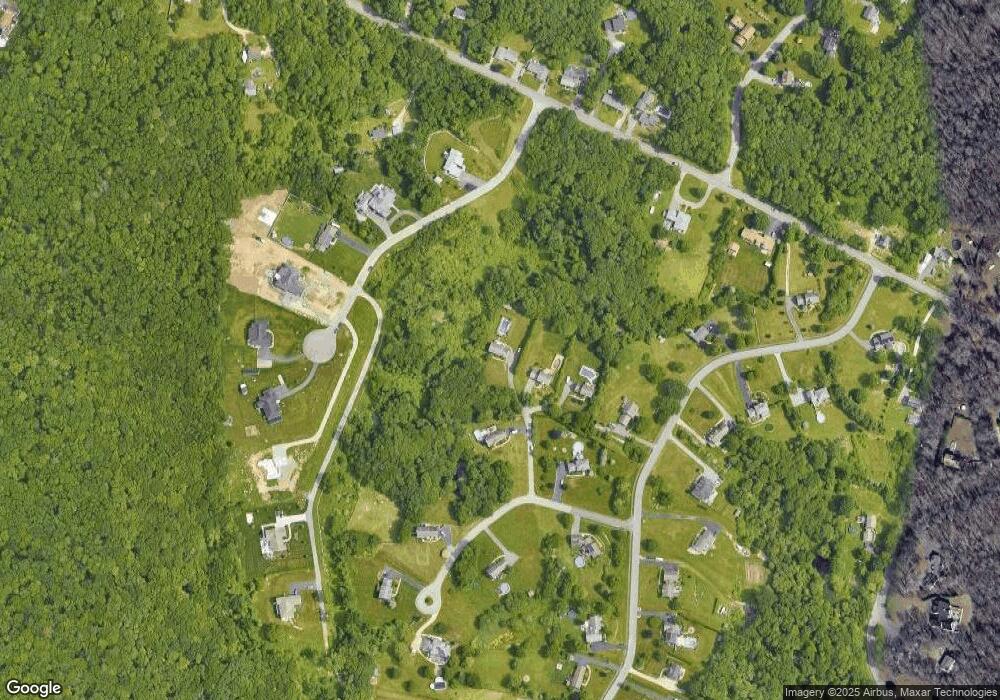
Map
Nearby Homes
- 118 Charlotte White Rd
- 978 Sodom Rd
- 8 Strawberry Ln
- 6 Angel Ct
- 118 Charlotte White Rd Extension
- 0 Hidden Glen Ln
- Lot 0 Marcotte
- 308 Robert St
- 4 Main Rd
- 218 American Legion Hwy
- 15 Village Way
- 7 Village Way
- 8 Village Way
- 47 Robert St
- 40 Robert St
- 47 Fallon Dr
- 837 Main Rd
- 837 Main Road & Lot 2
- 33 Moniz Dr
- 771 Sanford Rd
- 7 Rogue Dr
- 7 Rogue Dr Unit Lot 11
- 11 Rogue Dr
- 5 Rogue Dr
- 11 Rogue Dr
- 1 Old Pasture Ln
- 39 Maya Way
- 7 Meadowbrook Ln
- 0 Maya Way Unit 72310777
- 0 Maya Way Unit 72095394
- 0 Maya Way Unit 72097849
- Lot 5 Maya Way
- 7 Maya Way
- 19 Old Pasture Ln
- 19 Old Pasture Ln
- 1 Meadowbrook Ln
- 11 Maya Way
- 3 Maya Way
- 210 Charlotte White Rd
- 43 Maya Way