9 Roots Beach Ln Elysian, MN 56028
Estimated Value: $608,076 - $976,000
2
Beds
2
Baths
1,358
Sq Ft
$599/Sq Ft
Est. Value
About This Home
This home is located at 9 Roots Beach Ln, Elysian, MN 56028 and is currently estimated at $813,019, approximately $598 per square foot. 9 Roots Beach Ln is a home located in Le Sueur County with nearby schools including Waterville Elementary School, Morristown Elementary School, and Waterville-Elysian-Morristown Junior High School.
Ownership History
Date
Name
Owned For
Owner Type
Purchase Details
Closed on
Dec 29, 2017
Sold by
Frank Jackie J
Bought by
Salzle Brian and Salzle Susan
Current Estimated Value
Create a Home Valuation Report for This Property
The Home Valuation Report is an in-depth analysis detailing your home's value as well as a comparison with similar homes in the area
Purchase History
| Date | Buyer | Sale Price | Title Company |
|---|---|---|---|
| Salzle Brian | $425,000 | -- |
Source: Public Records
Tax History
| Year | Tax Paid | Tax Assessment Tax Assessment Total Assessment is a certain percentage of the fair market value that is determined by local assessors to be the total taxable value of land and additions on the property. | Land | Improvement |
|---|---|---|---|---|
| 2025 | $7,268 | $576,300 | $249,500 | $326,800 |
| 2024 | $6,584 | $541,000 | $242,500 | $298,500 |
| 2023 | $6,630 | $520,500 | $232,900 | $287,600 |
| 2022 | $6,368 | $511,200 | $225,000 | $286,200 |
| 2021 | $6,172 | $422,500 | $205,000 | $217,500 |
| 2020 | $6,090 | $399,000 | $195,000 | $204,000 |
| 2019 | $5,466 | $392,000 | $195,000 | $197,000 |
| 2018 | $5,451 | $345,000 | $170,000 | $175,000 |
| 2017 | $4,937 | $328,300 | $166,401 | $161,899 |
| 2016 | $4,854 | $321,300 | $161,187 | $160,113 |
| 2015 | $4,839 | $324,400 | $161,320 | $163,080 |
| 2014 | $4,441 | $332,100 | $168,599 | $163,501 |
| 2013 | $4,138 | $298,500 | $155,840 | $142,660 |
Source: Public Records
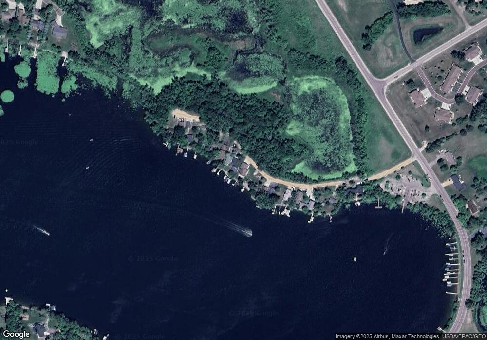
Map
Nearby Homes
- 13 Egret Ln
- 101 Shoreview Dr
- 2 Marie Cir
- 121 Willow Point Dr
- 125 Willow Point Dr
- 0 Xx Lewis Ln Unit 7025397
- 0 Xx Lewis Ln Unit 7025381
- 220 SW Maple Ave
- xx Lewis Ln
- 0 SW Maple Ave
- xxxxxx Lewis Ln
- -XX Jason Dr
- 14 Silver's Resort
- 11 Cedar Point Dr NW
- 49279 Sportsmans Ln
- 49189 Sportsmans Ln
- 49097 Sportsmans Ln
- 48901 N Shore Rd
- 48937 N Shore Rd
- 0 N Shore Rd
- 10 Roots Beach Ln
- 11 Roots Beach Ln
- 7 Roots Beach Ln
- 12 Roots Beach Ln
- 6 Roots Beach Ln
- 13 Roots Beach Ln
- 14 14 Roots Beach Ln
- 15 Roots Beach Ln
- 16 Roots Beach Ln
- 3 Roots Beach Ln
- 17 Roots Beach Ln
- 2 Roots Beach Ln
- 1 1 Roots Beach Ln
- 1 Roots Beach Ln
- 1 Roots Beach Ln Unit Lake Francis
- 3 Egret Ln
- 5 Egret Ln
- 3 3 Egret Ln
- 9 Egret Ln
- 11 11 Egret-Lane-
Your Personal Tour Guide
Ask me questions while you tour the home.