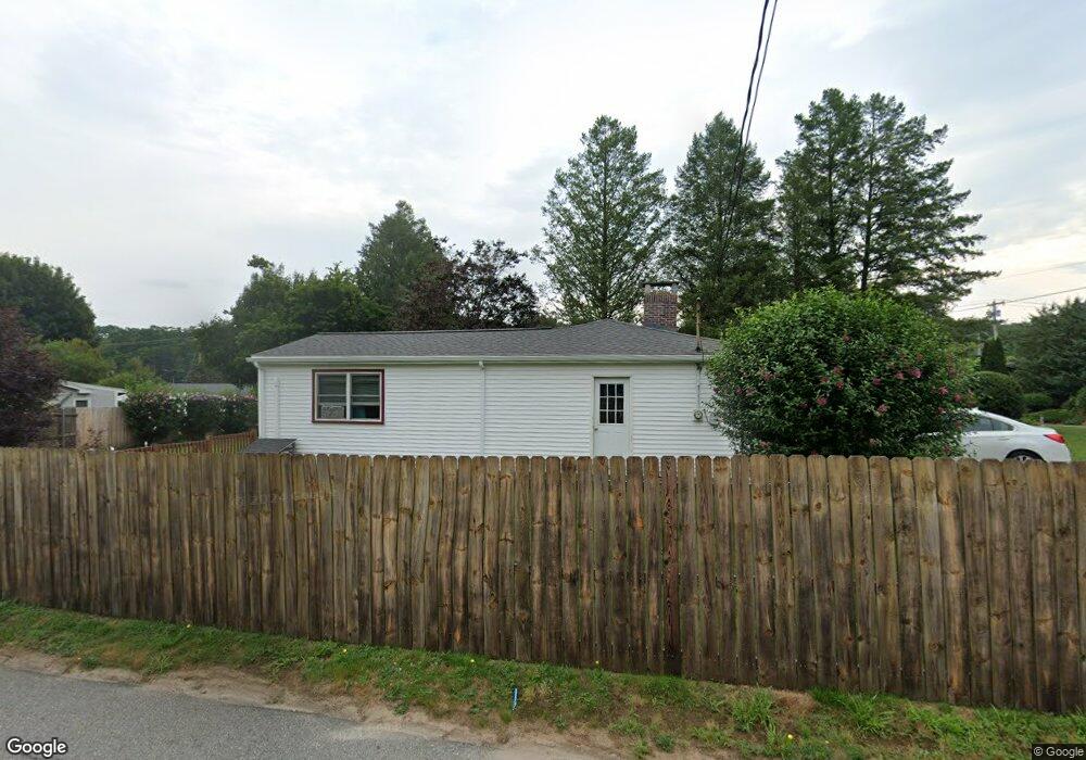
9 Rosetti Dr Cumberland, RI 02864
Cumberland Hill NeighborhoodEstimated Value: $340,000 - $427,000
2
Beds
1
Bath
912
Sq Ft
$423/Sq Ft
Est. Value
About This Home
This home is located at 9 Rosetti Dr, Cumberland, RI 02864 and is currently estimated at $386,032, approximately $423 per square foot. 9 Rosetti Dr is a home located in Providence County with nearby schools including Ashton Elementary School, North Cumberland Middle School, and Cumberland High School.
Ownership History
Date
Name
Owned For
Owner Type
Purchase Details
Closed on
Jun 25, 2010
Sold by
Millette Olga J and Major Elizabeth J
Bought by
Major Elizabeth J
Current Estimated Value
Home Financials for this Owner
Home Financials are based on the most recent Mortgage that was taken out on this home.
Original Mortgage
$70,000
Interest Rate
4.63%
Create a Home Valuation Report for This Property
The Home Valuation Report is an in-depth analysis detailing your home's value as well as a comparison with similar homes in the area
Home Values in the Area
Average Home Value in this Area
Purchase History
| Date | Buyer | Sale Price | Title Company |
|---|---|---|---|
| Major Elizabeth J | -- | -- |
Source: Public Records
Mortgage History
| Date | Status | Borrower | Loan Amount |
|---|---|---|---|
| Closed | Major Elizabeth J | $40,000 | |
| Closed | Major Elizabeth J | $70,000 | |
| Previous Owner | Major Elizabeth J | $87,000 |
Source: Public Records
Tax History
| Year | Tax Paid | Tax Assessment Tax Assessment Total Assessment is a certain percentage of the fair market value that is determined by local assessors to be the total taxable value of land and additions on the property. | Land | Improvement |
|---|---|---|---|---|
| 2025 | $3,880 | $316,200 | $143,800 | $172,400 |
| 2024 | $3,779 | $316,200 | $143,800 | $172,400 |
| 2023 | $3,674 | $316,200 | $143,800 | $172,400 |
| 2022 | $3,607 | $240,600 | $102,700 | $137,900 |
| 2021 | $3,546 | $240,600 | $102,700 | $137,900 |
| 2020 | $3,445 | $240,600 | $102,700 | $137,900 |
| 2019 | $3,233 | $203,600 | $86,400 | $117,200 |
| 2018 | $3,140 | $203,600 | $86,400 | $117,200 |
| 2017 | $3,097 | $203,600 | $86,400 | $117,200 |
| 2016 | $2,794 | $163,600 | $86,400 | $77,200 |
| 2015 | $2,794 | $163,600 | $86,400 | $77,200 |
| 2014 | $2,794 | $163,600 | $86,400 | $77,200 |
| 2013 | $3,019 | $191,300 | $86,400 | $104,900 |
Source: Public Records
Map
Nearby Homes
- 1504 Hunting Hill Dr
- 1502 Hunting Hill Dr
- 1503 Hunting Hill Dr
- 1501 Hunting Hill Dr
- 1302 Hunting Hill Dr
- 46 Circledale Dr
- 2 School St Unit 223
- 2 School St Unit 409
- 73 Westwood Dr
- 61 School St Unit 1
- 7 Hidden Valley Ln
- 1 Barway Ln
- 107 Old River Rd Unit 11
- 27 Oxford Rd
- 140 Lippitt Ave
- 256 School St
- 1251 Mendon Rd
- 97 Angell Rd
- 8 Valentine Ct
- 0 Whitman Way Unit 1183628
- 44 Peacedale Rd
- 1930 Mendon Rd
- 51 Peacedale Rd
- 43 Peacedale Rd
- 1906 Mendon Rd
- 39 Peacedale Rd
- 10 Rosetti Dr
- 1950 Mendon Rd
- 55 Peacedale Rd
- 0 Anthony Dr Unit 4361
- 0 Anthony Dr Unit 708808
- 0 Anthony Dr Unit 759066
- 0 Anthony Dr Unit 833264
- 0 Anthony Dr Unit 945431
- 34 Peacedale Rd
- 1909 Mendon Rd
- 33 Peacedale Rd
- 1919 Mendon Rd
- 1933 Mendon Rd
- 63 Peacedale Rd
Your Personal Tour Guide
Ask me questions while you tour the home.