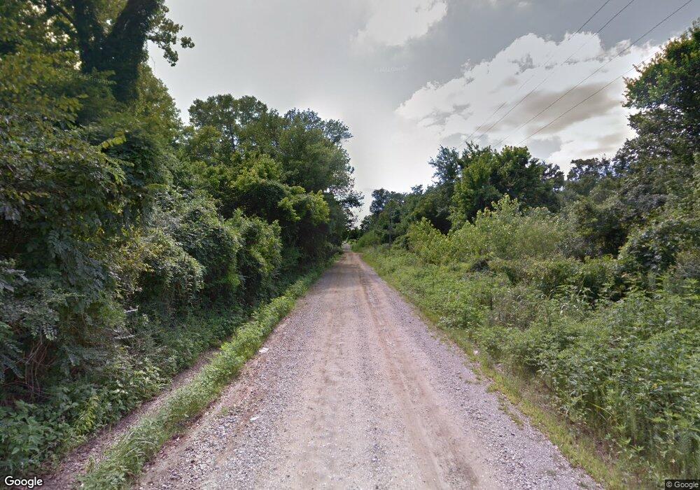
9 Rr 1 Weleetka, OK 74880
Estimated Value: $441,202 - $519,000
4
Beds
4
Baths
1,840
Sq Ft
$261/Sq Ft
Est. Value
About This Home
This home is located at 9 Rr 1, Weleetka, OK 74880 and is currently estimated at $480,101, approximately $260 per square foot. 9 Rr 1 is a home located in Okfuskee County with nearby schools including Spence Memorial Elementary School, Weleetka Junior High School, and Weleetka High School.
Ownership History
Date
Name
Owned For
Owner Type
Purchase Details
Closed on
Apr 18, 2022
Sold by
Liv Hoyle and Liv Roberta
Bought by
Grist Latisha and Grist Bart
Current Estimated Value
Purchase Details
Closed on
Jun 6, 2018
Sold by
Grist Bart A and Grist Latisha R
Bought by
Grist Bart A and Grist Latrisha R
Home Financials for this Owner
Home Financials are based on the most recent Mortgage that was taken out on this home.
Original Mortgage
$275,505
Interest Rate
4.37%
Mortgage Type
FHA
Purchase Details
Closed on
Jun 9, 2005
Sold by
Mouser Hoyle and Mouser Roberta Lynn Robinson
Bought by
Mouser Grist Bart A and Mouser Grist Latisha R
Home Financials for this Owner
Home Financials are based on the most recent Mortgage that was taken out on this home.
Original Mortgage
$64,276
Interest Rate
5.76%
Mortgage Type
Stand Alone Second
Create a Home Valuation Report for This Property
The Home Valuation Report is an in-depth analysis detailing your home's value as well as a comparison with similar homes in the area
Home Values in the Area
Average Home Value in this Area
Purchase History
| Date | Buyer | Sale Price | Title Company |
|---|---|---|---|
| Grist Latisha | -- | None Listed On Document | |
| Grist Bart A | -- | The Oklahoma City Abstract & | |
| Mouser Grist Bart A | -- | None Available |
Source: Public Records
Mortgage History
| Date | Status | Borrower | Loan Amount |
|---|---|---|---|
| Previous Owner | Grist Bart A | $275,505 | |
| Previous Owner | Mouser Grist Bart A | $64,276 |
Source: Public Records
Tax History Compared to Growth
Tax History
| Year | Tax Paid | Tax Assessment Tax Assessment Total Assessment is a certain percentage of the fair market value that is determined by local assessors to be the total taxable value of land and additions on the property. | Land | Improvement |
|---|---|---|---|---|
| 2025 | $1,253 | $17,234 | $887 | $16,347 |
| 2024 | $1,253 | $16,733 | $862 | $15,871 |
| 2023 | $1,218 | $16,245 | $832 | $15,413 |
| 2022 | $1,203 | $15,773 | $798 | $14,975 |
| 2021 | $1,196 | $15,773 | $798 | $14,975 |
| 2020 | $1,203 | $15,773 | $798 | $14,975 |
| 2019 | $1,221 | $15,773 | $798 | $14,975 |
| 2018 | $85 | $1,021 | $798 | $223 |
| 2017 | $515 | $7,150 | $1,837 | $5,313 |
| 2016 | $439 | $6,941 | $1,837 | $5,104 |
| 2015 | $421 | $6,739 | $1,837 | $4,902 |
| 2014 | -- | $6,485 | $1,837 | $4,648 |
Source: Public Records
Map
Nearby Homes
- 611 S Seneca
- 176 E Pharoah St
- 31095 S 180 Rd
- Cr
- 36106 E 1140 Rd
- 385157 Old Highway 62
- 00077 S 180 Rd
- 386001 N 1140 Rd
- 386001 E County Road 1140
- 0 Old Us Hwy 62
- 000 Old Us Hwy 62
- E 1150 Rd
- 0000 E
- 26685 Teal Cir
- 28204 Turkey Pen Hollow Rd
- 7000-7016 Loblolly Rd
- 6725 Cypress Rd S
- 9275 Hedge Rd
- 388067 E 1140 Rd
- 10015 Bryant Rd
