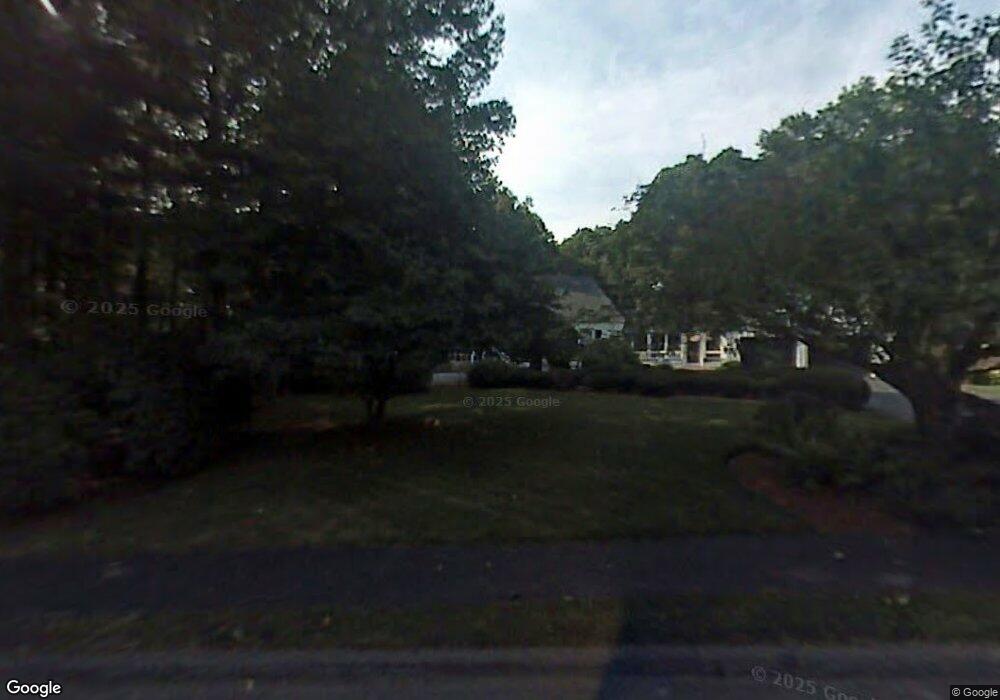
9 Russet Ln Lynnfield, MA 01940
Estimated Value: $1,367,417 - $1,592,000
4
Beds
4
Baths
4,298
Sq Ft
$344/Sq Ft
Est. Value
About This Home
This home is located at 9 Russet Ln, Lynnfield, MA 01940 and is currently estimated at $1,478,104, approximately $343 per square foot. 9 Russet Ln is a home located in Essex County with nearby schools including Lynnfield Middle School, Pickering Middle School, and Lynnfield High School.
Ownership History
Date
Name
Owned For
Owner Type
Purchase Details
Closed on
Jun 30, 2006
Sold by
Eleftherakis John J
Bought by
Hart-Eleftherakis Janel and Eleftherakis John J
Current Estimated Value
Home Financials for this Owner
Home Financials are based on the most recent Mortgage that was taken out on this home.
Original Mortgage
$600,000
Outstanding Balance
$354,827
Interest Rate
6.58%
Estimated Equity
$1,123,277
Purchase Details
Closed on
Mar 9, 2004
Sold by
Eleftherakis Janel D and Eleftherakis John J
Bought by
Eleftherakis John J
Create a Home Valuation Report for This Property
The Home Valuation Report is an in-depth analysis detailing your home's value as well as a comparison with similar homes in the area
Home Values in the Area
Average Home Value in this Area
Purchase History
| Date | Buyer | Sale Price | Title Company |
|---|---|---|---|
| Hart-Eleftherakis Janel | -- | -- | |
| Eleftherakis John J | -- | -- |
Source: Public Records
Mortgage History
| Date | Status | Borrower | Loan Amount |
|---|---|---|---|
| Open | Hart-Eleftherakis Janel | $600,000 |
Source: Public Records
Tax History Compared to Growth
Tax History
| Year | Tax Paid | Tax Assessment Tax Assessment Total Assessment is a certain percentage of the fair market value that is determined by local assessors to be the total taxable value of land and additions on the property. | Land | Improvement |
|---|---|---|---|---|
| 2025 | $12,640 | $1,197,000 | $727,900 | $469,100 |
| 2024 | $12,216 | $1,162,300 | $706,700 | $455,600 |
| 2023 | $11,810 | $1,045,100 | $626,000 | $419,100 |
| 2022 | $11,353 | $946,900 | $585,600 | $361,300 |
| 2021 | $11,000 | $828,900 | $484,700 | $344,200 |
| 2020 | $10,920 | $784,500 | $440,300 | $344,200 |
| 2019 | $10,548 | $758,300 | $414,100 | $344,200 |
| 2018 | $10,199 | $741,200 | $414,100 | $327,100 |
| 2017 | $10,214 | $741,200 | $414,100 | $327,100 |
| 2016 | $10,450 | $720,700 | $414,100 | $306,600 |
| 2015 | $9,642 | $665,400 | $372,500 | $292,900 |
Source: Public Records
Map
Nearby Homes
- 16 W Tapley Rd
- 33 Wing Rd
- 6 Needham Rd
- 20 Pine Hill Rd
- 6 Ashley Ct
- 928 Main St
- 2 Bridle Path
- 11 Hutchins Cir
- 19 Fairway Ln
- 19 Fairway Ln Unit 53
- Beverly Plan at Willis Brook at Lynnfield
- Sutton Plan at Willis Brook at Lynnfield
- Topsfield Plan at Willis Brook at Lynnfield
- Westford Plan at Willis Brook at Lynnfield
- 1 Stableford Ct Unit 13
- 70 Forest Hill Ave
- 4 Lowell St
- 58 Chestnut St
- 35 Catherine Dr
- 1466 Main St