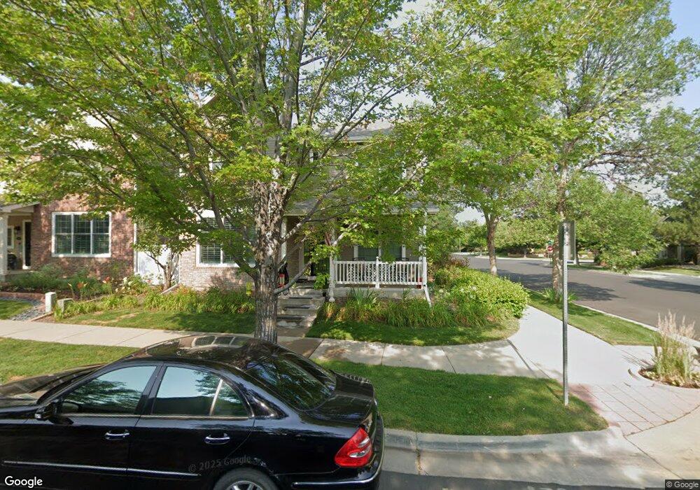
9 S Syracuse St Denver, CO 80230
Lowry NeighborhoodEstimated Value: $691,000 - $895,000
3
Beds
3
Baths
2,099
Sq Ft
$379/Sq Ft
Est. Value
About This Home
This home is located at 9 S Syracuse St, Denver, CO 80230 and is currently estimated at $796,051, approximately $379 per square foot. 9 S Syracuse St is a home located in Denver County with nearby schools including Lowry Elementary School, Hill Campus of Arts & Sciences, and George Washington High School.
Ownership History
Date
Name
Owned For
Owner Type
Purchase Details
Closed on
Jun 6, 2023
Sold by
Charlson Gloria M
Bought by
Gloria M Charlson Revocable Living Trust
Current Estimated Value
Purchase Details
Closed on
Feb 21, 2023
Sold by
Gloria M Charlson Trust
Bought by
Gloria M Charlson Revocable Living Trust
Purchase Details
Closed on
May 1, 2000
Sold by
Kelly Thomas P
Bought by
Charlson Gloria M
Purchase Details
Closed on
Apr 14, 1998
Sold by
Village Homes Of Colorado Inc
Bought by
Kelly Thomas P and Charlson Gloria M
Home Financials for this Owner
Home Financials are based on the most recent Mortgage that was taken out on this home.
Original Mortgage
$141,000
Interest Rate
7.21%
Create a Home Valuation Report for This Property
The Home Valuation Report is an in-depth analysis detailing your home's value as well as a comparison with similar homes in the area
Home Values in the Area
Average Home Value in this Area
Purchase History
| Date | Buyer | Sale Price | Title Company |
|---|---|---|---|
| Gloria M Charlson Revocable Living Trust | -- | None Listed On Document | |
| Gloria M Charlson Revocable Living Trust | $130,000 | -- | |
| Charlson Gloria M | -- | -- | |
| Kelly Thomas P | $201,659 | Land Title |
Source: Public Records
Mortgage History
| Date | Status | Borrower | Loan Amount |
|---|---|---|---|
| Previous Owner | Kelly Thomas P | $141,000 |
Source: Public Records
Tax History Compared to Growth
Tax History
| Year | Tax Paid | Tax Assessment Tax Assessment Total Assessment is a certain percentage of the fair market value that is determined by local assessors to be the total taxable value of land and additions on the property. | Land | Improvement |
|---|---|---|---|---|
| 2024 | $3,353 | $49,030 | $4,900 | $44,130 |
| 2023 | $3,280 | $49,030 | $4,900 | $44,130 |
| 2022 | $2,728 | $41,250 | $6,930 | $34,320 |
| 2021 | $2,633 | $42,440 | $7,130 | $35,310 |
| 2020 | $2,534 | $41,300 | $7,130 | $34,170 |
| 2019 | $2,463 | $41,300 | $7,130 | $34,170 |
| 2018 | $2,216 | $35,840 | $6,150 | $29,690 |
| 2017 | $2,209 | $35,840 | $6,150 | $29,690 |
| 2016 | $2,125 | $34,020 | $6,798 | $27,222 |
| 2015 | $2,658 | $34,020 | $6,798 | $27,222 |
| 2014 | $2,546 | $30,650 | $4,187 | $26,463 |
Source: Public Records
Map
Nearby Homes
- 7883 E Bayaud Ave
- 41 Quince St
- 8053 E Maple Ave
- 7702 E Maple Place Unit 7702
- 209 Quebec St Unit L
- 159 Quebec St Unit D
- 160 Poplar St Unit A
- 8225 E Fairmount Dr Unit 204
- 8185 E Lowry Blvd Unit 302
- 6959 E Lowry Blvd
- 10 Oneida Ct
- 18 Oneida Ct
- 85 Uinta Way Unit 603
- 85 Uinta Way Unit 702
- 6975 E Irvington Place
- 43 S Oneida Ct
- 185 Olive St
- 217 Spruce St Unit 101
- 222 S Olive St
- 7752 E 4th Ave Unit 2C
- 19 S Syracuse St
- 29 S Syracuse St
- 6 S Rosemary St
- 14 S Rosemary St
- 7700 E Ellsworth Ave
- 24 S Rosemary St
- 7663 E Ellsworth Ave
- 39 S Syracuse St
- 7651 E Ellsworth Ave
- 7701 E Archer Place
- 7740 E Ellsworth Ave
- 34 S Rosemary St
- 7661 E Ellsworth Ave
- 7765 E Ellsworth Ave
- 49 S Syracuse St
- 26 Rosemary St
- 44 S Rosemary St
- 7783 E Lowry Blvd
- 7741 E Archer Place
- 63 S Syracuse St