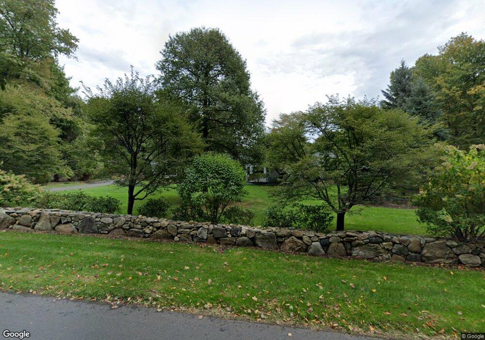
9 Salisbury Rd Darien, CT 06820
Estimated Value: $2,147,000 - $2,558,000
4
Beds
3
Baths
3,140
Sq Ft
$760/Sq Ft
Est. Value
About This Home
This home is located at 9 Salisbury Rd, Darien, CT 06820 and is currently estimated at $2,387,144, approximately $760 per square foot. 9 Salisbury Rd is a home located in Fairfield County with nearby schools including Ox Ridge Elementary School, Middlesex Middle School, and Darien High School.
Ownership History
Date
Name
Owned For
Owner Type
Purchase Details
Closed on
Feb 22, 2022
Sold by
Viesto Cheryl C
Bought by
Cheryl C Viesto Ret
Current Estimated Value
Create a Home Valuation Report for This Property
The Home Valuation Report is an in-depth analysis detailing your home's value as well as a comparison with similar homes in the area
Home Values in the Area
Average Home Value in this Area
Purchase History
| Date | Buyer | Sale Price | Title Company |
|---|---|---|---|
| Cheryl C Viesto Ret | $375,000 | None Available |
Source: Public Records
Tax History
| Year | Tax Paid | Tax Assessment Tax Assessment Total Assessment is a certain percentage of the fair market value that is determined by local assessors to be the total taxable value of land and additions on the property. | Land | Improvement |
|---|---|---|---|---|
| 2025 | $17,943 | $1,159,130 | $816,130 | $343,000 |
| 2024 | $17,028 | $1,159,130 | $816,130 | $343,000 |
| 2023 | $13,860 | $787,080 | $544,110 | $242,970 |
| 2022 | $13,561 | $787,080 | $544,110 | $242,970 |
| 2021 | $13,254 | $787,080 | $544,110 | $242,970 |
| 2020 | $12,309 | $787,080 | $544,110 | $242,970 |
| 2019 | $12,309 | $787,080 | $544,110 | $242,970 |
| 2018 | $13,330 | $829,010 | $582,960 | $246,050 |
| 2017 | $11,937 | $829,010 | $582,960 | $246,050 |
| 2016 | $13,073 | $829,010 | $582,960 | $246,050 |
| 2015 | $12,725 | $829,010 | $582,960 | $246,050 |
| 2014 | $12,443 | $829,010 | $582,960 | $246,050 |
Source: Public Records
Map
Nearby Homes
- 63 Dorchester Rd
- 15 Marianne Rd
- 20 Marianne Rd
- 561 Middlesex Rd
- 7 Tommys Ln
- 201 W Norwalk Rd
- 7 Buttonwood Ln
- 28 Crooked Mile Rd
- 45 Princes Pine Rd
- 58 Old Rock Ln
- 5 Wheat Ln
- 12 Dellwood Rd
- 226 Putnam Rd
- 9 Point o Woods Rd S
- 97 Richards Ave Unit B10
- 29 Richmond Dr
- 105 Richards Ave Unit 1407
- 112 Camp Ave
- 1 Douglas Dr
- 139 Jelliff Mill Rd
- 19 Salisbury Rd
- 54 Pembroke Rd
- 86 Pembroke Rd
- 74 Pembroke Rd
- 88 Pembroke Rd
- 25 Salisbury Rd
- 45 Salisbury Rd
- 100 Pembroke Rd
- 55 Pembroke Rd
- 65 Pembroke Rd
- 43 Salisbury Rd
- 95 Pembroke Rd
- 45 Pembroke Rd
- 38 Pembroke Rd
- 34 Salisbury Rd
- 4 Wrenfield Ln
- 75 Pembroke Rd
- 1 Wrenfield Ln
- 85 Pembroke Rd
- 42 Salisbury Rd
Your Personal Tour Guide
Ask me questions while you tour the home.