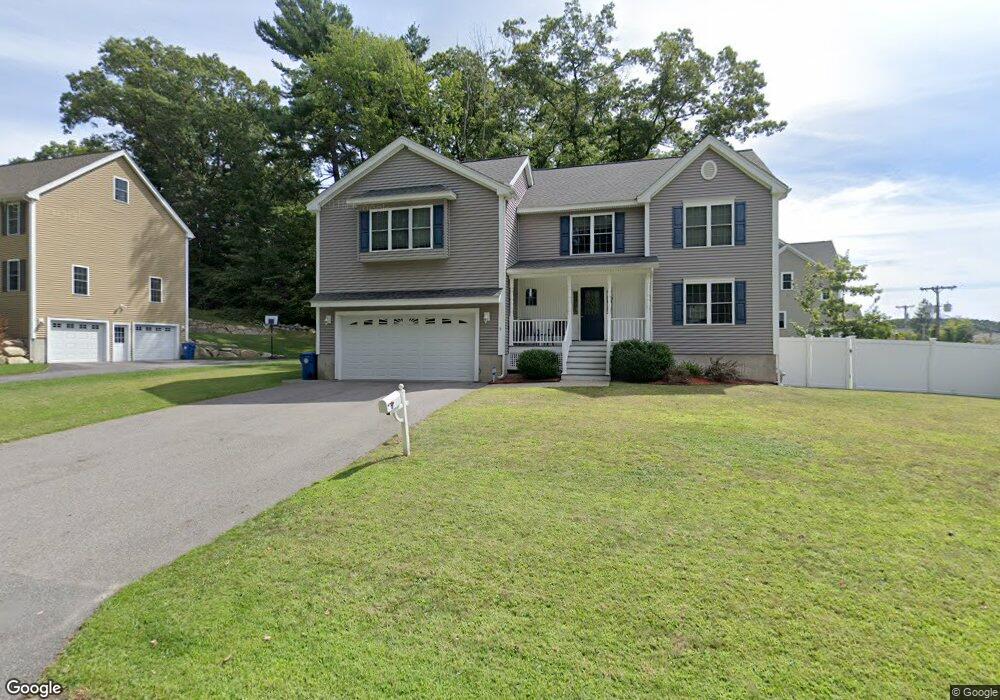
9 Scott Ave Burlington, MA 01803
North Burlington NeighborhoodEstimated Value: $1,150,815 - $1,370,000
4
Beds
3
Baths
2,453
Sq Ft
$518/Sq Ft
Est. Value
About This Home
This home is located at 9 Scott Ave, Burlington, MA 01803 and is currently estimated at $1,270,454, approximately $517 per square foot. 9 Scott Ave is a home located in Middlesex County with nearby schools including Burlington High School, Pine Glen Elementary School, and Marshall Simonds Middle School.
Ownership History
Date
Name
Owned For
Owner Type
Purchase Details
Closed on
Jul 15, 2011
Sold by
Apple Tree T and Murray
Bought by
Capparelli Robert J and Capparelli Nancy G
Current Estimated Value
Home Financials for this Owner
Home Financials are based on the most recent Mortgage that was taken out on this home.
Original Mortgage
$389,900
Outstanding Balance
$269,124
Interest Rate
4.58%
Mortgage Type
Purchase Money Mortgage
Estimated Equity
$1,001,330
Create a Home Valuation Report for This Property
The Home Valuation Report is an in-depth analysis detailing your home's value as well as a comparison with similar homes in the area
Home Values in the Area
Average Home Value in this Area
Purchase History
| Date | Buyer | Sale Price | Title Company |
|---|---|---|---|
| Capparelli Robert J | $569,900 | -- |
Source: Public Records
Mortgage History
| Date | Status | Borrower | Loan Amount |
|---|---|---|---|
| Open | Capparelli Robert J | $389,900 |
Source: Public Records
Tax History
| Year | Tax Paid | Tax Assessment Tax Assessment Total Assessment is a certain percentage of the fair market value that is determined by local assessors to be the total taxable value of land and additions on the property. | Land | Improvement |
|---|---|---|---|---|
| 2025 | $8,368 | $966,300 | $391,500 | $574,800 |
| 2024 | $8,128 | $909,200 | $357,500 | $551,700 |
| 2023 | $7,874 | $837,700 | $309,800 | $527,900 |
| 2022 | $7,574 | $761,200 | $281,700 | $479,500 |
| 2021 | $7,018 | $743,400 | $263,900 | $479,500 |
| 2020 | $7,125 | $739,100 | $259,600 | $479,500 |
| 2019 | $7,031 | $670,900 | $242,600 | $428,300 |
| 2018 | $5,004 | $664,100 | $235,800 | $428,300 |
| 2017 | $6,936 | $664,100 | $235,800 | $428,300 |
| 2016 | $6,897 | $601,800 | $204,300 | $397,500 |
| 2015 | $6,746 | $594,400 | $204,300 | $390,100 |
| 2014 | $6,769 | $564,100 | $182,100 | $382,000 |
Source: Public Records
Map
Nearby Homes
- 12 Murray Ave Unit 18
- 27 Purity Springs Rd
- 1 Joanne Rd
- 345 Cambridge St
- 23 Wilmington Rd
- 21 Meadowvale Rd
- 23 Rocky Hill Rd
- 5 Porter Ave
- 23 County Rd
- 13 Wing Terrace
- 29 Beaverbrook Rd
- 210 Winn St
- 155 Mill St
- 55 Francis Wyman Rd
- 0 Bedford St
- 1 Highland Way
- 12 Pleasant St
- 4 Hallmark Gardens Unit 2
- 11 Town Line Rd
- 4 Colburn St
Your Personal Tour Guide
Ask me questions while you tour the home.