9 Seal Rock Dr Scarborough, ME 04074
Estimated Value: $5,585,855 - $6,008,000
4
Beds
5
Baths
5,431
Sq Ft
$1,067/Sq Ft
Est. Value
About This Home
This home is located at 9 Seal Rock Dr, Scarborough, ME 04074 and is currently estimated at $5,796,928, approximately $1,067 per square foot. 9 Seal Rock Dr is a home with nearby schools including Scarborough High School.
Create a Home Valuation Report for This Property
The Home Valuation Report is an in-depth analysis detailing your home's value as well as a comparison with similar homes in the area
Home Values in the Area
Average Home Value in this Area
Tax History Compared to Growth
Tax History
| Year | Tax Paid | Tax Assessment Tax Assessment Total Assessment is a certain percentage of the fair market value that is determined by local assessors to be the total taxable value of land and additions on the property. | Land | Improvement |
|---|---|---|---|---|
| 2024 | $78,824 | $7,211,700 | $4,328,500 | $2,883,200 |
| 2023 | $77,047 | $4,824,500 | $2,845,000 | $1,979,500 |
| 2022 | $74,249 | $4,824,500 | $2,845,000 | $1,979,500 |
| 2021 | $72,464 | $4,824,500 | $2,845,000 | $1,979,500 |
| 2020 | $71,371 | $4,802,900 | $2,845,000 | $1,957,900 |
| 2019 | $70,603 | $4,802,900 | $2,845,000 | $1,957,900 |
| 2017 | $88,983 | $5,396,200 | $4,356,400 | $1,039,800 |
| 2016 | $85,908 | $5,396,200 | $4,356,400 | $1,039,800 |
| 2015 | $83,587 | $5,396,200 | $4,356,400 | $1,039,800 |
| 2014 | $81,483 | $5,396,200 | $4,356,400 | $1,039,800 |
| 2013 | $79,702 | $5,396,200 | $4,356,400 | $1,039,800 |
Source: Public Records
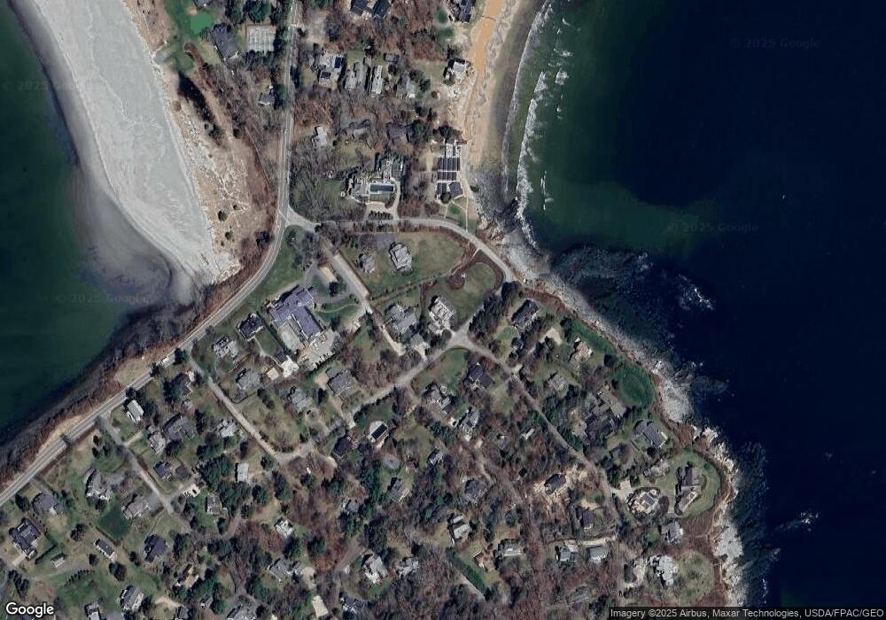
Map
Nearby Homes
- 31 Massacre Ln
- 33 Massacre Ln
- 29 Driftwood Ln
- 68 Jones Creek Dr
- 7 Atlantic Dr Unit 7
- 25 Atlantic Dr Unit 25
- 3 King St Unit 4
- 3 E Grand Ave
- 23 E Grand Ave
- 1 Sandpiper Cove Rd
- 23 Plover Ln Unit 33
- 4 Overlook Dr Unit 2
- 3 Overlook Dr Unit 5
- 6 Overlook Dr Unit 1
- 2 Overlook Dr Unit 3
- 22 Salt Point Dr Unit 23
- 20 Salt Point Dr Unit 22
- 215 E Grand Ave Unit 210
- 215 E Grand Ave Unit 405
- 205 E Grand Ave Unit 7D